Last updated: February 15, 2021
Article
New Mexico: Point of Rocks

In 1598, when 50-year-old Juan de Oñate took on the task of colonizing New Spain’s northern frontier for the Spanish Crown, he was given a peculiar order to survey New Mexico’s harbors and coastlines. As soon as he set foot on New Mexican soil, he realized the only waterway in sight was the Rio Grande. It was plentiful but not exactly oceanic. Still he followed the river’s northerly course to extend El Camino Real de Tierra Adentro parallel to the riverbank, assuring abundant water for his fellow travelers and their livestock.
Not long into his journey, however, Oñate abandoned a particularly rough riverside passage in favor of a shorter, more direct route through a stretch of desert known as the Jornada del Muerto (Journey of the Dead Man). The shortcut decreased the strain of travel for the colonists’ heavy wagons and herds of livestock, but there were tradeoffs: no water, no firewood and little natural feed for the animals for 90 inhospitable miles. Surviving the desert meant that travelers must ration their water and their energy and try not to get lost in the landscape’s tangled mesquite and tarbush maze.
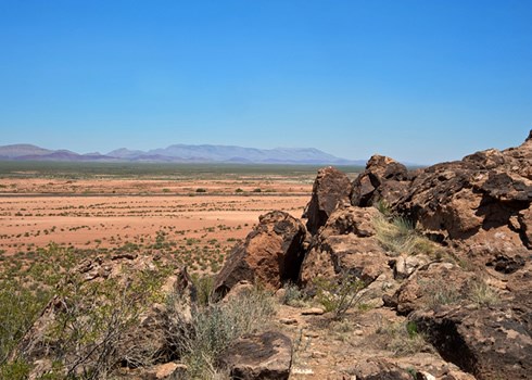
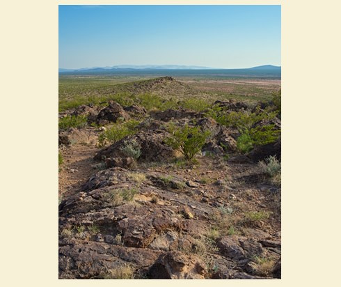
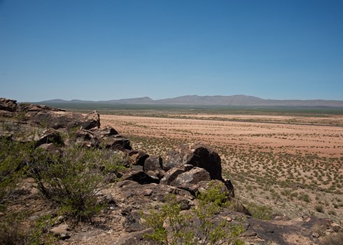
The large basalt outcropping known as Point of Rocks is among the landmarks that travelers depended on to keep their bearings as they made their way through the desert. Located along the western edge of the Perrillo Hills, the Point of Rocks ridge looks over a section of El Camino Real that runs between the escarpment and the eastern edge of the floodplain beyond. The site was a day away from the San Diego paraje (rest stop), where voyagers watered their animals and collected what they hoped would be enough to carry themselves through the dry days ahead. By the time northbound travelers reached Point of Rocks, often after traveling through the cool of night, they were ready for a good rest. The base of the ridge provided a sheltered camping spot. For southbound travelers, it offered a welcome sign that water was only 13 miles away.

The Point of Rocks section of El Camino Real is now distinguished by a parallel line of the Burlington Northern and Santa Fe Railroad and power lines that span its northern end. But the Jornada del Muerto is as rugged and remote as when Oñate blazed through. The area highlights evidence of the countless thousands of others who chose to take Oñate’s El Camino Real shortcut over the next 300 years, from Spanish colonial to Mexican to Territorial times. The most significant natural artifact is the rocky bluff itself. Rising hundreds of feet above the desert plain, the ridge remains a prominent point of reference and a strategic lookout post with sweeping views in all directions.
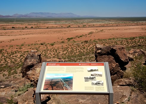
A one-half mile interpretive trail leads modern-day trekkers from the county road below to the ridgetop to experience the view from above. Looking over El Camino Real, it’s hard to distinguish its exact path through the sandy plain as parts of the original course have been obscured by centuries of erosion, wind and rain. Nonetheless, a group of stone cairns atop the ridge demonstrates the importance of this portion of the trail, while a U-shaped, stacked-rock wall at its base suggests it was a well-used resting point on El Camino Real. Though Point of Rocks is not identified on maps until the Territorial period, the remains of a campsite and a coal forge to the south further attest to the area’s long history of human use.
The name Point of Rocks was probably dubbed by traders who moved goods between New Mexico and Chihuahua during the Mexican and Territorial periods, or by American soldiers who, after the U.S. occupation, used the ridgetop as a lookout while attempting to protect travelers and traders from frequent Apache attacks. The closest reference to the area in the Spanish colonial record dates to May 23, 1598, when Oñate reported that his group was running low on water while camping at a spot assumed to be in the vicinity of Point of Rocks. When a dog wandered away from camp and returned with muddy paws, the pooch’s tracks led the group to two pools of water that held moisture from recent rains. Today the place where Oñate camped is formally known as the Paraje del Perrillo, the camp of the little dog. The exact location of the pools he discovered remains unknown.

The Point of Rocks trailhead is located 30 miles from Interstate-25 on Sierra County Rd. A013 in Sierra County, NM. Managed by the Bureau of Land Management, the Point of Rocks bilingual interpretive trail is a well-marked, self-guided pathway that is open year-round during daylight hours. For more information, visit the Sierra County Tourism website. For more information, visit the National Park Service El Camino Real de Tierra Adentro website.
Explore more history by visiting the El Camino Real travel itinerary website.

