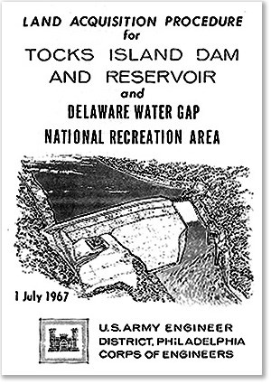
NPS Photo In August of 1955, Hurricanes Connie and Diane battered the eastern seaboard of the United States. In the Poconos, rivers and streams overflowed their banks; nearly 100 people lost their lives on the banks of Broadhead Creek alone. Congress responded quickly, commissioning the Army Corps of Engineers to dust off a 1930s river basin study and determine the viability of constructing dams and reservoirs along the Delaware, with one dam on the main stem of the river at the southern tip of Tocks Island. The proposed Tocks Island Dam would have created a lake-sized reservoir roughly 40 miles long and a mile wide. Before building it, some 600 families and property owners whose land would be inundated had to be displaced. Some of these families had lived on and worked the land for centuries. To offset some of the cost of the project, the Army Corps rented some of the newly acquired properties for the short term. Those who had unwillingly sold their homes now saw their land and houses occupied by people from outside the valley. It was a turbulent era: Vietnam, Civil Rights, Back to the Earth. Grassroots organizations of citizens, scientists, educators and legislators began to mobilize in a new and uniquely American struggle -- the Environmental Movement. Congress responded with the Clean Air and Water Acts, the Endangered Species Act, and the National Environmental Policy Act. A few earnest voices against the dam in 1964 grew to a uproar by 1971. New studies challenged the wisdom of converting a beautiful river into a stagnant body of water. Decision-makers in the basin states recoiled at the studies' projected costs of expanding local infrastructure for a new recreation area that would attract so many millions to a previously quiet place. In 1975, the Delaware River Basin Commission, composed of the four basin-state governors and one federally-appointed commissioner, voted to shelve the Tocks Island Dam project. The land already acquired by the federal government was handed over in its entirety to the National Park Service for stewardship, and Delaware Water Gap National Recreation Area, originally intended as a narrrow swath of land around a reservoir, became a 70,000 acre park with 40 miles of protected free-flowing river. Though it had promised drought abeyance, flood mitigation, power generation, and lake-based recreation, in the end, the project was deemed too costly. A long and bitter battle had ended, and the modern era of environmental consciousness in government had begun. |
Last updated: November 21, 2024
