Raymondskill Creek Trail

Map of the Cliff Park trail system with a large red arrow pointing to the Raymondskill Falls trailhead.
Raymondskill Falls Trail can be accessed from both the lower and upper lots on Raymondskill Road. Summer trip? Check out the Raymondskill Hiker Shuttle!
 
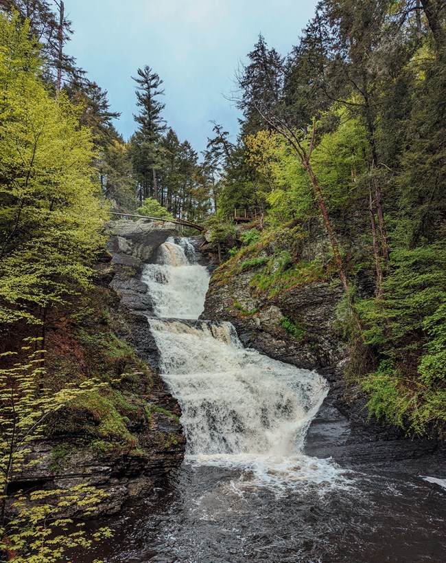
A waterfall surrounded by dark rock and bright green trees.
Raymondskill Falls is Pennsylvania's tallest waterfall.

NPS Photo/J.Grier

Trail Information:

Length: 0.3 mile
Type: Loop; Out and Back spur

Difficulty: Easy to Moderate

Elevation Change: 178 feet

Trailhead Location: directions to Raymondskill Road trailhead
Other Information: Restrooms located in upper lot.

Please Note: Raymondskill Falls Trail is accessible by shuttle bus only on weekends and holidays from 10 am to 4 pm. The parking area for the free shuttle is at the Milford Knob Trailhead/North Contact Station.

Restrictions:

  • Swimming and wading are not permitted within 50 feet upstream of waterfalls or in the waterfalls themselves.
  • Pets are not permitted on the trail.
  • Food, picnics, and alcohol are prohibited at this site.

Trail Description:

The three-tiered Raymondskill Falls is the tallest waterfall in Pennsylvania. If you add the height of each cascade together, the waterfall is only a few feet shorter than Niagara Falls. While the trail is short, it is fairly steep and uneven. The upper viewing area provides a view of the upper pool and its large cascade. The lower viewing area provides a great photo opportunity of the falls.

A spur off the main trails provides a quarter-mile, one-way walk to Raymondskill Creek. This trail spur is open from Fall to Spring, and does not lead to the bottom of the falls.


Other trails in the Raymondskill Falls area:


Return to list of trails

Last updated: August 16, 2023

Park footer

Contact Info

Mailing Address:

Delaware Water Gap National Recreation Area
P.O. Box 2

Bushkill, PA 18324

Phone:

570 426-2452

Contact Us