Because of the extreme tidal ranges and gently sloping shores, Georgia’s coasts are described as having vast intertidal zones with narrow or nonexistent berms and extensive sand dunes.
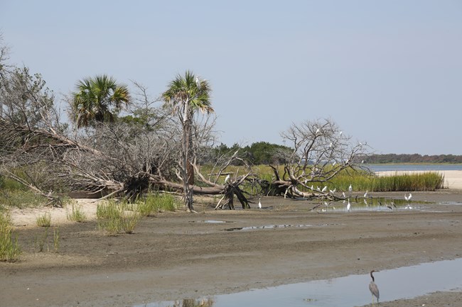
NPS Photo The intertidal zone is the area that is above water at low tide and under water at high tide. The size of the zone is dependent on the tidal range and the slope of the beach. The intertidal beaches of Georgia can extend as much as a quarter of a mile out to sea. The waves and daily flooding of seawater make the area a difficult place to live. As a result, there is little diversity in the intertidal zone. The animals that live in this area are adapted to being out of the water for extended periods of time during low tide. The majority of sea life are found in burrows or scattered in the wet sand to stay hydrated during low tide. Terrestrial animals, commonly birds, may visit to feed. Aquatic animals float in with the tide to feed or escape predators. 
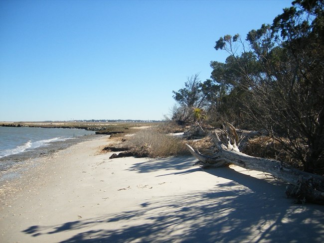
NPS Photo The berm is the area of dry, sandy land that makes up the active shoreline, or the “beach,” between the intertidal zone and the dune system. Although the berm usually stays above water, the area is still influenced by waves. During high storms or high tidal range, the berm is often flooded. While during low tide, the wind pushes sand and rebuilds the zone. This wave action prevents the growth of vegetation. 
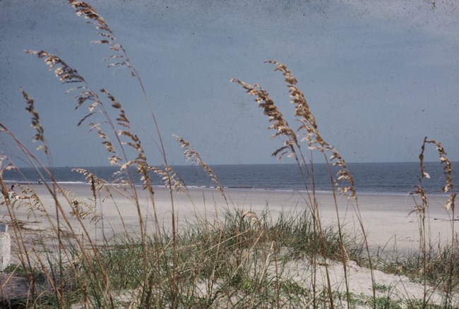
NPS Photo Sand dunes are created when dry beach sand is blown inland and then trapped by vegetation. They are an important part of the beach ecosystem, acting as buffers against wave damage during storms and protecting the plant communities from salt water, sea spray, and strong winds. Dunes also replenish and maintain the beach at times of erosion. Salt spray, rapid water drainage, shifting sand, and sun exposure make the dunes a harsh habitat. Most of the plants in the dune system have developed adaptations to survive these conditions. Sea oats are the most common dune plant to become established along Georgia’s coast. The State of Georgia prohibits the disturbance of sea oats because of the vital role they play in building and stabilizing dunes. Cockspur Island has an intertidal beach along its North Shoreline. It did not grow from natural forces. Instead, the North Shoreline was created by dredge material which was added in late 2015. This provided a buffer against erosion to the historic North pier and the Cockspur island coast. While the North Shoreline seems like an inviting beach, it is closed to the public. It is an ecological restoration area. One can observe the tidal beach from the historic North Pier.For more on the closure of the North Shoreline. |
Last updated: July 29, 2025
