Last updated: July 8, 2020
Place
Mohawk Trail

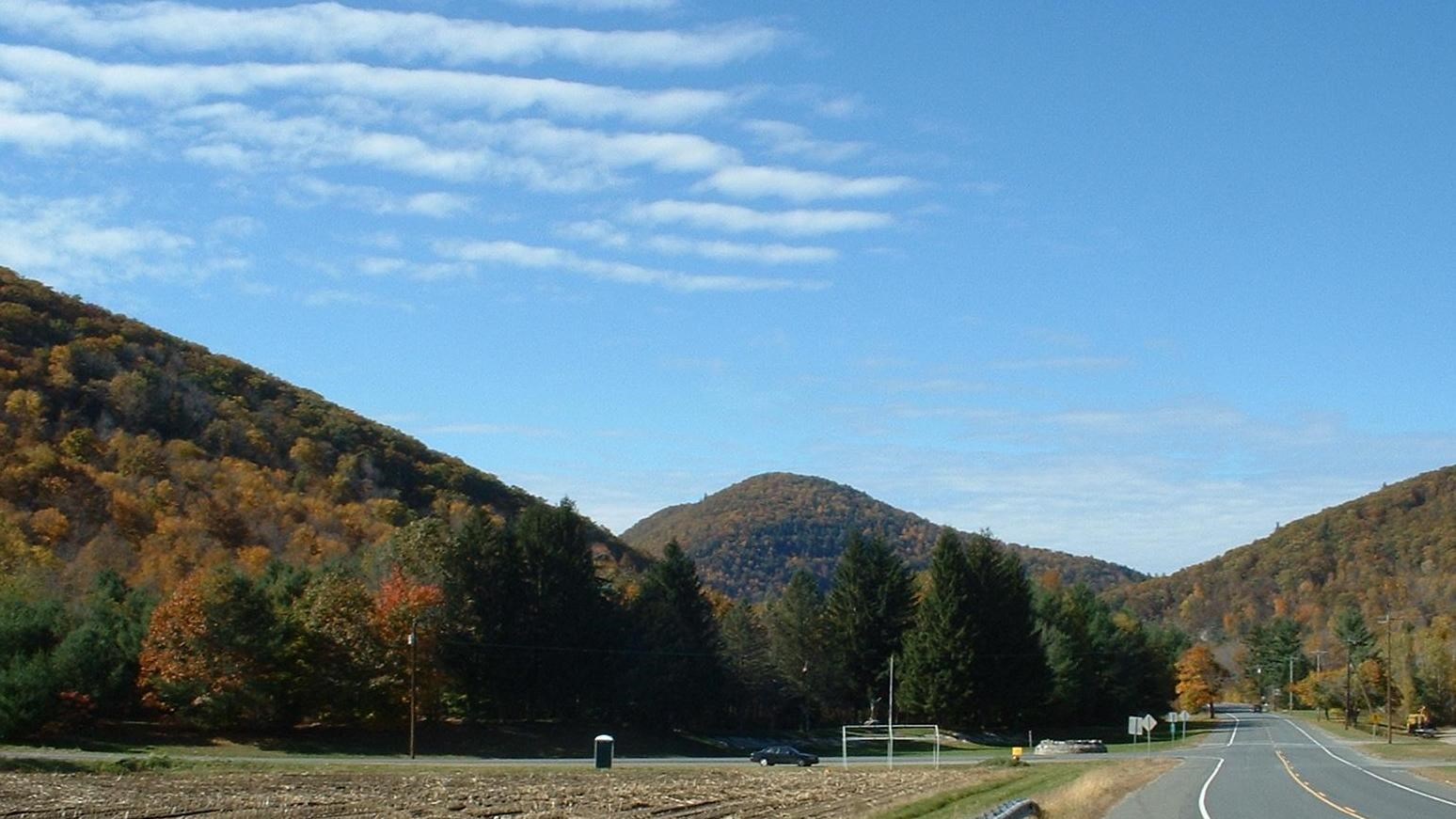
By ToddC4176, CC BY-SA 3.0
Originally a Native American path, the Mohawk Trail leads from the Hudson and Mohawk River Valleys in New York to the Deerfield and Connecticut River Valleys in Massachusetts. Native American peoples of the Northeast used the Mohawk Trail as a trade and travel route to the east and west. Now a designated scenic tourist route, the Mohawk Trail accommodates the changing world while still serving its visitors as a scenic path and highway across the Northeast. The Mohawk Trail State Forest surrounds the trail, providing camping, hiking, and other recreational activities for visitors.
Prior to European settlement, the Mohawk and other Native American tribes utilized the trail to fish during the annual spring salmon runs up the Connecticut and Deerfield Rivers and to hunt the lush valleys surrounding the rivers. They also used the trail to make raids on their enemies. Toward the end of King Philip’s War in 1676, Metacom, also known as King Philip, the leader of the Wampanoag Confederacy, traveled the trail and failed to recruit the Mohawks in his war against the settlers. The trail also became a principal route of the French and their Native American allies during the French and Indian War from 1754 to 1763. During the American Revolution, Benedict Arnold, still an American patriot at the time, traveled the trail recruiting additional troops while on the way to Fort Ticonderoga, New York, with his letter of command.
After farming in the valleys declined in the late 19th century, the Mohawk Trail became a road linking western Massachusetts communities. The state improved the road and in 1914 named it “The Mohawk Trail,” designating it as a scenic tourist route. The marketing strategy worked and the road became a popular destination almost immediately. In one day in 1915 alone, 700 cars traveled along the scenic route. During this same time, the Massachusetts state legislature approved money to create state forest lands throughout Massachusetts. The heavy tourist traffic along the Mohawk Trail made acquisition of a state forest along the Trail highly desirable. The Commonwealth of Massachusetts purchased over 5,000 acres to designate as the Mohawk Trail State Forest in 1921. A rather primitive auto camp emerged in the new state forest and became a popular destination for auto tourists from all over the country. In 1924, 1,050 auto parties from 28 different states across the country and from several Canadian provinces visited Mohawk Trail State Forest.
During the Great Depression in the 1930s, the Civilian Conservation Corps (CCC) provided work for young, unemployed men on a variety of conservation-related projects, often to create public recreational facilities. Many of the CCC camps performed work in the Massachusetts state forest system. A CCC camp in the Mohawk Trail State Forest planted white pine trees, improved roads, built a campground, and constructed a series of log cabins for overnight stays. The popularity of the Mohawk Trail also attracted new businesses such as tourist cabins, souvenir shops, lookout towers, roadside restaurants, and filling stations.
While commercial revenue attracted these businesses, some people grew concerned that overbuilding would spoil the scenic values that attracted people to the area in the first place. Conservationist Benton MacKaye wrote an article in the 1920s recommending zoning the sides of the Mohawk Trail to keep it attractive and limiting commercial development to specific sites tucked out of view.
Mohawk Trail State Forest today has many sites of historic interest. The CCC built structures including cabins and campgrounds that are still there. One and a half miles of the old Indian Trail is now marked and included as part of the Mahican-Mohawk Trail, a greenway extending 100 miles from Deerfield, Massachusetts to the Hudson River Valley in New York.
Mohawk Trail State Forest also has some of the tallest trees in Massachusetts, with 15 species reaching record heights, including 35 white pine trees over 140 feet in height. The Cold River Virgin Forest area, which includes 700 acres of old growth forest, is designated a National Natural Landmark. It contains what may be the only virgin hemlock-northern hardwood forest in New England with some hemlocks and sugar maples over 400 years old. The Mohawk Trail is listed in the National Register of Historic Places. Visitors can still drive and hike along the road of the Mohawk Trail, visit the many shops, inns, and villages along the way, and camp, hike, fish, and picnic in the Mohawk Trail State Forest.
The Mohawk Trail is located in Charlemont, Florida, and Savoy in Franklin and Berkshire Counties in Massachusetts. The Mohawk Trail road follows Route 2 from Charlemont to North Adams and the address of the Mohawk Trail State Forest is 175 Mohawk Trail/Route 2. For more information, visit the Massachusetts Department of Conservation and Recreation website and also visit the Mohawk Trail Region website.
To discover more Massachusetts history and culture, visit the Massachusetts Conservation Travel Itinerary website.
