Last updated: October 17, 2024
Article
Bipartisan Infrastructure Law Project to Address Lasting Impacts of Mining in Coal Creek Alaska

Photo courtesy of Seth Adams
The upper Yukon River valley in eastern Alaska – lands, and waters teeming with salmon, that would become Yukon-Charley Rivers National Preserve – became the site of a mining boom in the late 1800s. Industrial scale mining continued as recently as the 1970s. Mining is part of the historic record. Its legacy includes continued negative effects on the watershed, salmon habitat, and park infrastructure.
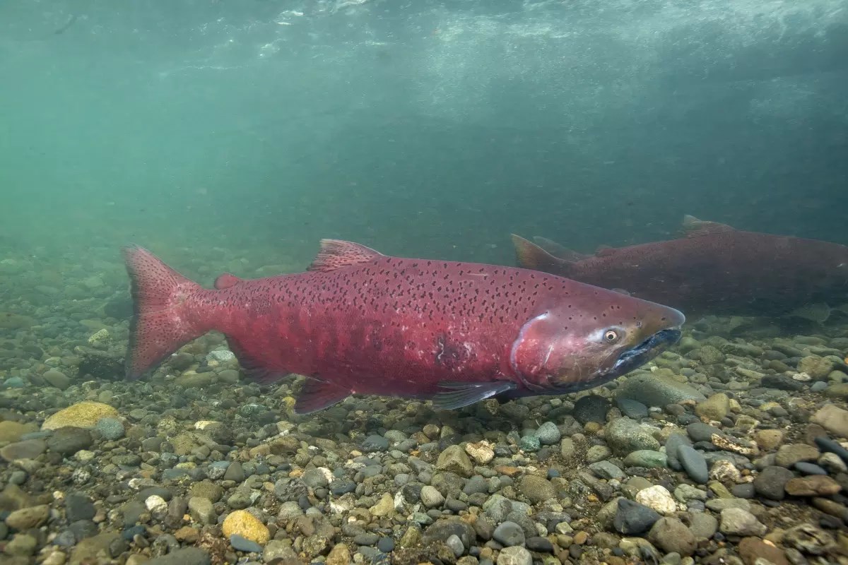
Chinook salmon were once a major subsistence fishery. The decline of the population is rooted in multiple causes but improvements to salmon habitat within the Yukon River watershed can be one part of the solution.
“The declining Chinook salmon fishery is a big and long-running concern to communities across Alaska,” Alaska Regional Office Science Coordinator Jeff Rasic said. “It’s a vital resource to people in rural Alaska who depend on salmon for food, and it’s a population that’s seen steep declines in recent years.”
-
Bipartisan Infrastructure Law Project to Address Lasting Impacts of Mining in Coal Creek Alaska
VIDEO: After a history of mining, restoration of Coal Creek begins to protect salmon habitat.
- Duration:
- 1 minute, 56 seconds
The National Park Service and multiple partners will tackle the salmon habitat, flooding and erosion issues through projects funded by the Bipartisan Infrastructure Law. The restoration projects will focus on habitat along Coal Creek while preserving the area’s historic features. By improving Coal Creek habitat, the NPS and partners support improved salmon populations, which are important to park ecosystem and native habitat. Protection for park infrastructure will be another project benefit.
Mining of Coal Creek changed its salmon habitat character – lots of twists and turns, floodplains, and varied-depth pools where salmon could congregate – to a relatively straight channel that moved water quickly but was prone to destructive flooding, erosion, and was inhospitable for salmon and other aquatic life.
“Restoring the river’s natural character is good for fish,” said Alaska Region Office geologist Chad Hults.

USFWS / Ryan Hagerty
To stabilize Coal Creek’s banks, technicians will plant willows and other species and return more of the twists and turns to the channel. As deep roots get established, and the more meandering nature takes hold, seasonal flooding and erosion will ease and the salmon habitat will be improved. Even the historic dredge tailings will be in less danger of eroding into the water.
This project will also address flooding and erosion from the creek that threatens park infrastructure and operations. In this remote, roadless area, Coal Creek is an important hub for visitation, operations and transportation. A gravel airstrip provides small plane access, and the nearby Yukon River provides boat access, all converging on a cluster of historic sites, public use cabins, and NPS maintenance facilities that are interconnected with a local network of trails.

Photo courtesy of Seth Adams
The park does not receive a lot of visitors, but those who do reach it will find a special kind of backcountry experience. “It is a remote and uncrowded place with a unique mix of history and nature,” Rasic said.
It is, however, beyond rustic. Today’s visitors may arrive to find the trails flooded and historic sites inaccessible. Erosion caused by flood activity has also destroyed a section of the airstrip. Small planes can still land, but larger aircraft cannot and that limits fuel delivery. The Coal Creek airstrip and the historic camp are critical infrastructure for the function of the park. Further erosion and flooding also threaten the park’s roads and buildings, hampering park operations. For example, wildlife surveys and wildland fire operations base out of the airstrip and camp, but those operations have been delayed or relocated.

Photo courtesy of Seth Adams
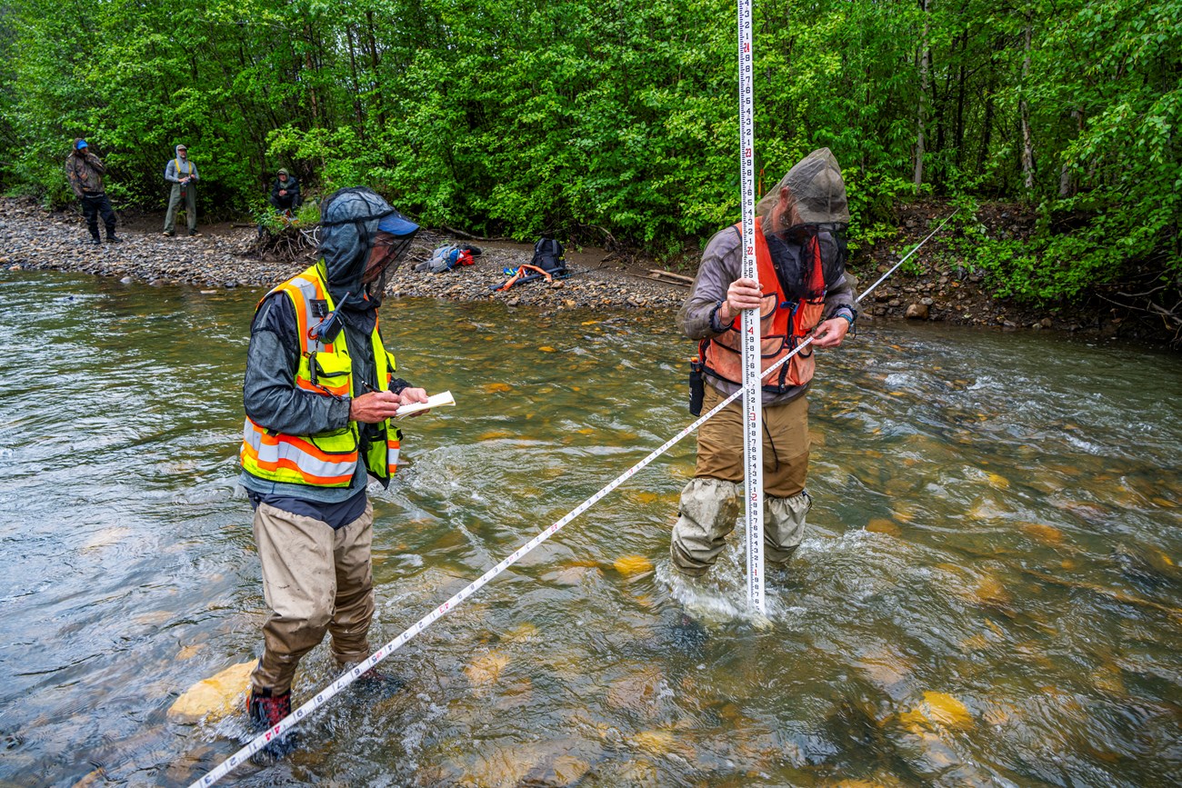
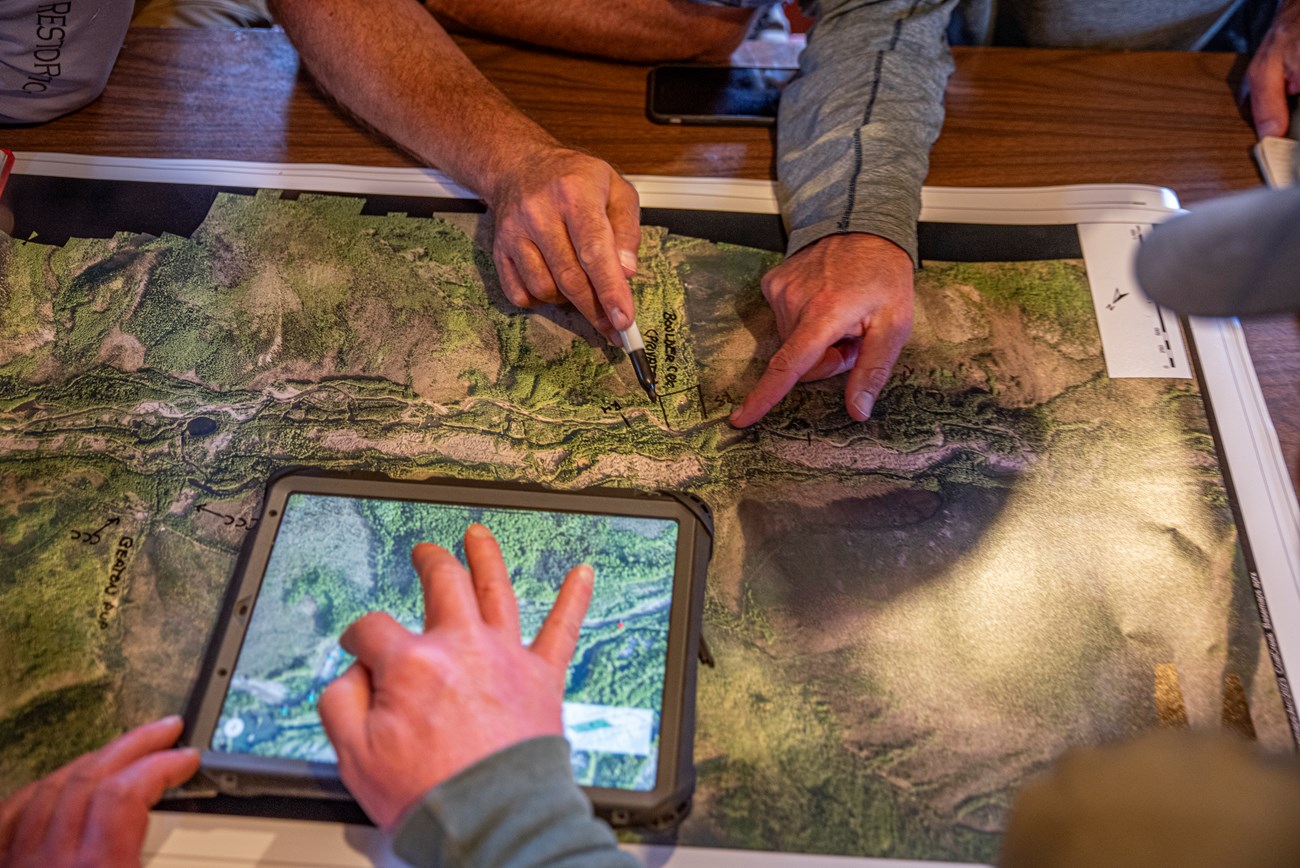
The NPS is collaborating with different organizations to accomplish this project. One of the primary partners of the project is the Salcha-Delta Soil and Water Conservation District, which has previously worked alongside other federal agencies on stream restoration projects. Another partner is the Tanana Chiefs Conference, which will help with key parts of planning and pre-construction analysis, including detailed topographic mapping of the Coal Creek valley. The Tanana Chiefs Conference also acts as a liaison with local communities and provides input on the salmon fishery and local habitats.
Due to Alaska’s short summer construction season, and other logistical challenges such as transporting equipment to this remote location, the project will be challenging. The project has begun with fieldwork to map and analyze the stream conditions which is necessary to develop a restoration design. Stream restoration itself starts in 2025.

