Last updated: January 26, 2021
Article
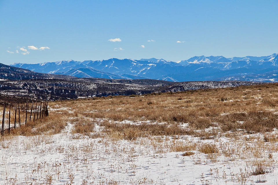
Hogsback Summit Winter Views

NPS Photo
Winter view of the Wasatch Mountains from Hogsback Summit, near Henefer, Utah, on the Donner Party route of the California Trail. (This photo was taken with a zoom lens; the mountains are more distant from this location than they appear here.)
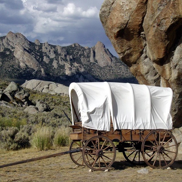
The Donner Party reached this point on July 19, 1846, having been directed by Lansford W. Hastings to cut their own trail through these mountains. Here they had their first glimpse of what that would mean for them. They were 16 days working their way through this range to reach the Valley of the Great Salt Lake. Their Wasatch crossing significantly delayed their entry into California's Sierra Nevada, where they became snowbound over the winter of 1846-1847. A year later, Brigham Young's advance group of Mormon Pioneers followed the Donner track through the Wasatch. Over the years, this route also was used by Fortyniners and others trying to reach California, as well as Mormon handcart companies, the military, the Overland Stage, and the Pony Express.
Learn more about this place
Read more and find more trail sites to visit:
National Historic Trails Auto Tour Route Interpretive Guide: Utah - Crossroads of the West
Views from Hogsback Summit
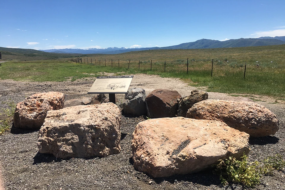
Left image
Fall at the viewpoint.
Credit: NPS Photo
Right image
Winter at the viewpoint.
Credit: NPS Photo