Last updated: November 1, 2024
Article
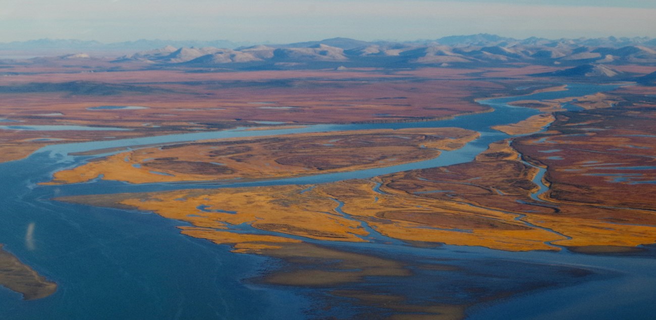
Methane Changes in the Wetlands of Beringia

USGS/Mike Records
Potential methane flux from Beringian coastal wetlands during the last deglaciation
Abstract
Atmospheric methane (CH4) concentrations have gone through rapid changes since the last deglaciation; however, the reasons for abrupt increases around 14,700 and 11,600 years before present (yrs BP) are not fully understood. Concurrent with deglaciation, sea-level rise gradually inundated vast areas of the low-lying Beringian shelf. This transformation of what was once a terrestrial-permafrost tundra-steppe landscape, into coastal, and subsequently, marine environments led to new sources of CH4 from the region to the atmosphere. Here, we estimate, based on an extended geospatial analysis, the area of Beringian coastal wetlands in 1000-year intervals and their potential contribution to northern CH4 flux (based on present day CH4 fluxes from coastal wetland) during the past 20,000 years. At its maximum (∼14,000 yrs BP) we estimated CH4 fluxes from Beringia coastal wetlands to be 3.5 (+4.0/-1.9) Tg CH4 yr−1. This shifts the onset of CH4 fluxes from northern regions earlier, towards the Bølling-Allerød, preceding peak emissions from the formation of northern high latitude thermokarst lakes and wetlands. Emissions associated with the inundation of Beringian coastal wetlands better align with polar ice core reconstructions of northern hemisphere sources of atmospheric CH4 during the last deglaciation, suggesting a connection between rising sea level, coastal wetland expansion, and enhanced CH4 emissions.Fuchs, M., M. Jones, E. Gowan, S. Frolking, K. W. Walter Anthony, G. Grosse, B. Jones, L. Brosius, J. A. O’Donnell, and C. Treat. 2024. Potential methane flux from Beringian coastal wetlands during the last deglaciation. Quaternary Science Reviews 344: 108976.
