Last updated: October 30, 2023
Article
Trail of Tears: Arkansas River Water Route Itinerary

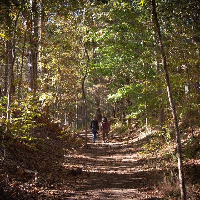
NPS/Michael Haynes

NPS Image
Water Route of the Trail of Tears Itinerary: Arkansas River, Lake Dardanelle to Little Rock
Thousands of Cherokee men, women, and children passed here on the water route of the Trail of Tears. Implementation of the 1830 Indian Removal Act forced Cherokee off their land and out of their homes in the southeastern US and onto a path to Indian Territory (present-day Oklahoma).
The Water Route of the Trail of Tears began in Tennessee and ended in Oklahoma, following the Tennessee, Ohio, Mississippi, and Arkansas Rivers. It was a journey of 1,300 miles on steamboats and the keel boats they towed. You could move more people much more cheaply if you combined flatboats, keelboats, or rafts with the pushing or pulling power of a steamer. It is like today’s use of tugboats and barges.
This log entry by Lt. Whiteley, whose detachment traveled the rivers July 1838, summarizes the challenges of the route: "...waiting for a light draft boat to carry the Detachment up. Much sickness in the party, diseases, measles & summer complaint...made a contract...to carry the party on the steamboat & two keels..."
It seems simple and comfortable - board steamboats in Tennessee and ride to Oklahoma. While faster than the land route, those who journeyed by water faced challenges and dangers, including the quick spread of sickness onboard, exposure to disease along the river lowlands, fires aboard steamers, unpredictable weather, and changing water levels that affected river navigation.
On the Arkansas River in the area of this itinerary, water depth significantly lessened, forcing detachment leaders to make decisions about whether to abandon the river and finish the journey overland. In these later stages of the removal journey, the Cherokee were exhausted and sick, contending with intense epidemics while trapped in shallow waters, sometimes pushing the boats over sandbars, to stay on the river and avoid land travel.
At sites on this itinerary, you will discover the places where decisions were made, and lives were lost. It is a personal journey that asks you to put yourself in their shoes as you watched your fellow suffering travelers and family persevere, trying to manage daily life activities on a terrible journey.
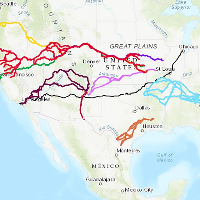
There are more sites you can visit on the Water Route along the Arkansas River. These sites highlight the challenges of the trail and the effects of the journey. Use the interactive map and the sites listed on the Arkansas Places to Go page to identify and visit more. You can also download and use the NPS app to travel the trail.