Last updated: June 11, 2020
Article
Webbers Falls - Last Stop for the Last Detachment

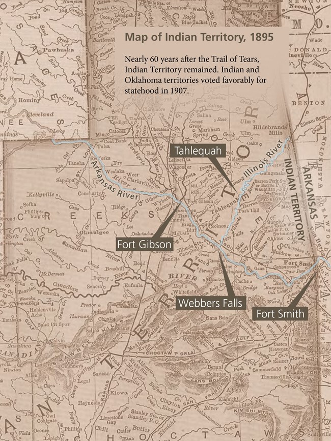
Low water prevented the detachment from reaching Fort Gibson, their originally assigned disbandment site. After the steamboat landed at the mouth of the Illinois River, the detachment made its way overland on foot and by wagon to Tahlequah to disband.
There are several sites in Webbers Falls to visit related to the Trail of Tears. Begin at the waterfront and learn more about how the geography of the area shaped Cherokee settlement and the growth of a Cherokee town prior to the forced removal. Learn more by viewing the waterfront exhibits and imagining the scene as the John Drew detachment landed near here by steamboat.
More about Webbers Falls:
Contact information and directions:
Waterfront and exhibits:
River Road, Webbers Falls, Oklahoma 74470, Coordinates: 35.513, -95.127 301 Commercial Street (corner of Commercial and Main), Webbers Falls, Oklahoma; 918-464-2728
