Part of a series of articles titled Water Resources Monitoring in the Yellowstone River at Corwin Springs, Montana.
Article
The Yellowstone River at Corwin Springs, Montana

NPS
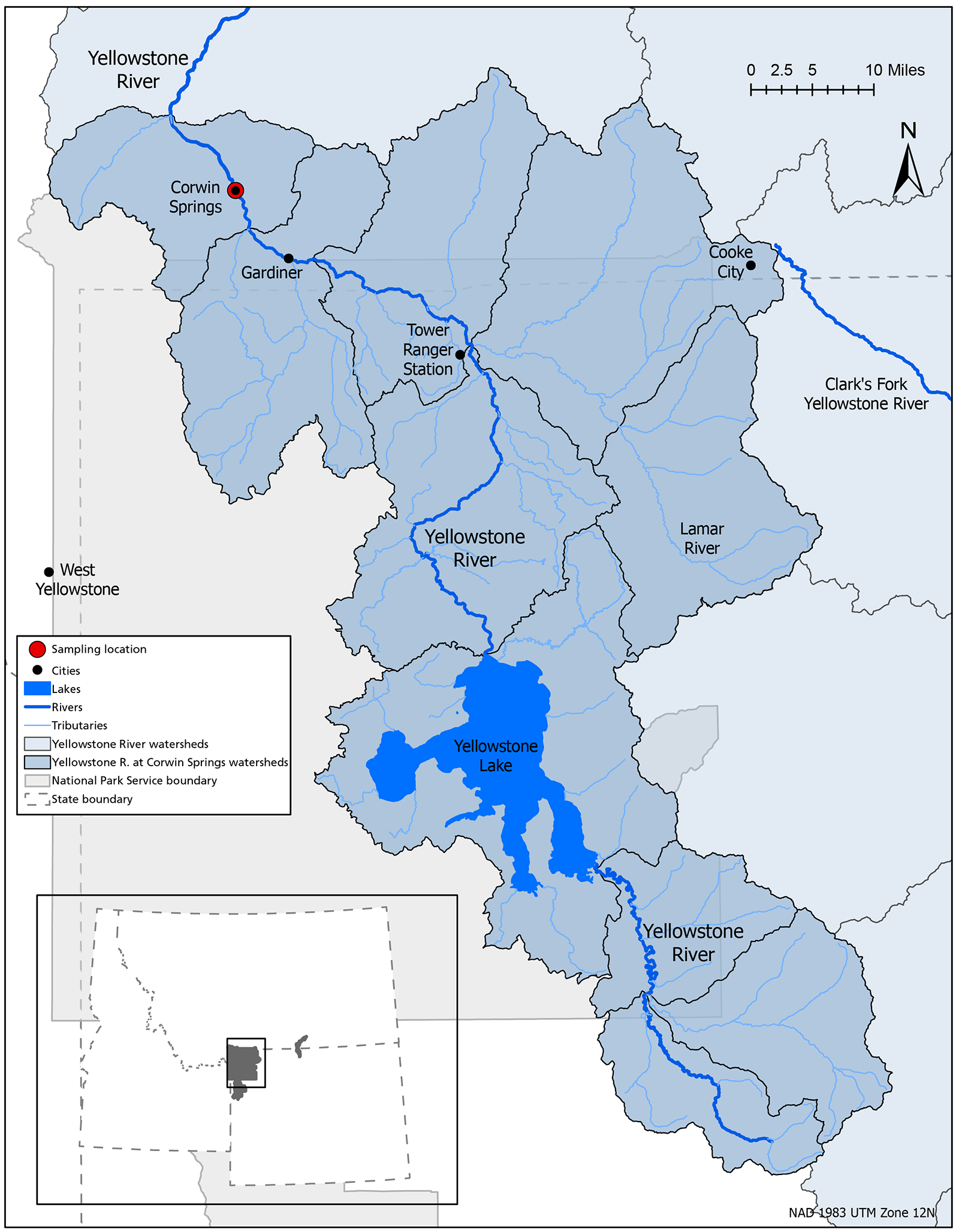
The Yellowstone River, a tributary of the Missouri River, is the longest undammed river in the lower 48 states at 1,080 km (671 mi). Headwaters begin in the Absaroka Range from its North Fork on Younts Peak, Wyoming. It flows northwest through Yellowstone National Park, where it feeds and drains Yellowstone Lake and runs through Yellowstone Falls and the Grand Canyon of the Yellowstone. The river then exists the park near Gardiner, Montana.
The Yellowstone River supports a variety of agricultural, municipal, and recreational uses, as well as ecological processes that are vital to the region. For example, the Yellowstone River headwaters and tributaries attract anglers as a cold-water fishery destination. Downstream, the river is a source of irrigation water for agriculture and drinking water for municipalities, including Laurel and Billings, Montana, and towns eastward into North Dakota.
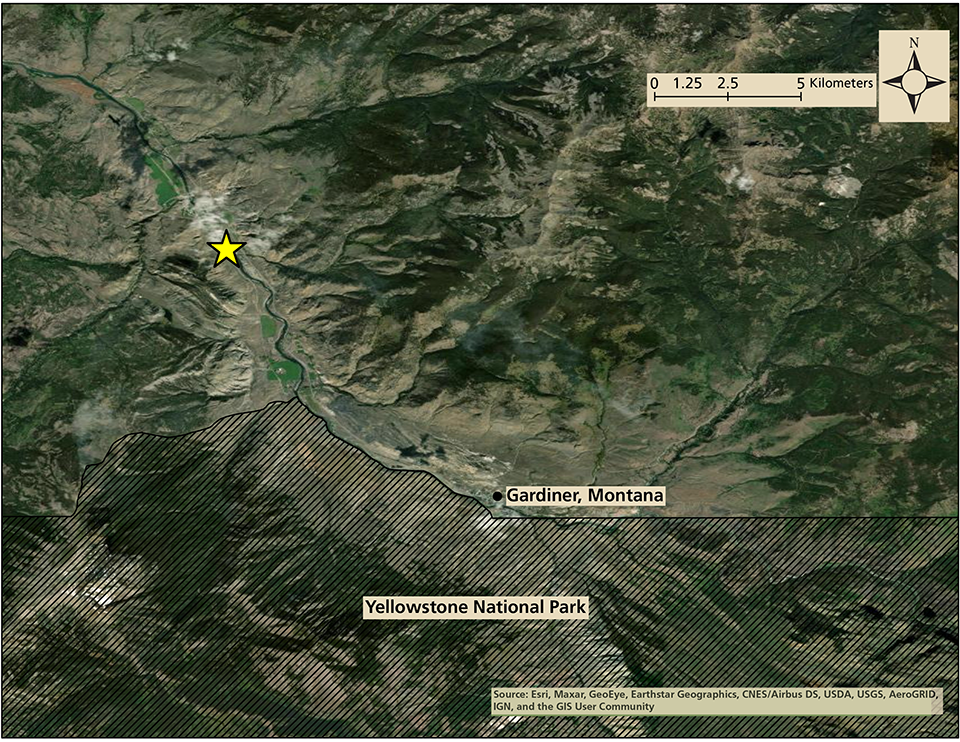
The Greater Yellowstone Inventory and Monitoring Network monitors water quality and discharge (flow) in the Yellowstone River at Corwin Springs, Montana. This monitoring station is located 12 km (7.5 mi) downstream from Gardiner, Montana, and the Yellowstone National Park boundary. A 14-km (8.7 mi) segment (MT43B001_011) of the Yellowstone River within the park from the Wyoming border to the park boundary and a 7.7-km (4.8 mi) segment (MT43B001_010) from the park boundary to Reese Creek were listed in Section 303(d) of Montana's 2018 Water Quality Integrated Report (MTDEQ 2019). The 14-km segment was listed for ammonia, copper, nitrate + nitrite as N (i.e., NO3 + NO2 as N), sediment, and arsenic levels that exceed state drinking water standards. Both listed segments of the Yellowstone River are upstream of our water monitoring location.

NPS

NPS graphic on USDA base map.
Last updated: August 12, 2022
