Part of a series of articles titled Crystal Clear: A Call to Action.
Article
Crystal Clear: Chesapeake Bay Sentinel Site Cooperation

NPS Photo
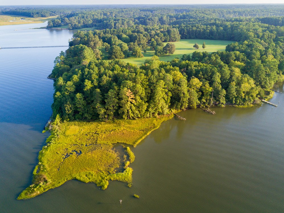
The Chesapeake Bay region is currently experiencing some of the highest relative sea level rise rates reported within the United States. The Sentinel Site Cooperatives were initiated by the National Oceanic and Atmospheric Administration (NOAA) to leverage existing information and data collection projects to address impacts of climate change of local, regional, and national significance. The Chesapeake Bay Sentinel Site Cooperative is a partnership of science agencies, academic institutions, and resource managers sharing resources to increase everyone’s understanding of changes to our natural and cultural resources attributable to sea level rise.
Background
The Chesapeake Bay Sentinel Site Cooperative covers the Chesapeake Bay, its tidal tributaries, and the Delmarva Peninsula. National Park Service (NPS) resources in the Cooperative include the offices of the National Capital Region and Washington Office, Department of Interior headquarters, three Inventory and Monitoring Networks, and 55 park units. Current partners include NOAA, U.S. Fish and Wildlife Service, NPS, U.S. Geological Survey, U.S. Army Corps of Engineers, Smithsonian Environmental Research Center, State of Maryland, Commonwealth of Virginia, University of Maryland Center for Environmental Sciences, Virginia Institute of Marine Science, Old Dominion University, and The Johns Hopkins University.Status
The Chesapeake Bay Sentinel Site Cooperative has already leveraged partner interests within the region to champion locations for installation of new National Water Level Observation Network stations (NWLON). The stations are capable of real-time automated and eventdriven data acquisition using NOAA’s Geostationary Operational Environmental Satellites (GOES). NWLON data-collection platforms are now capable of measuring other oceanographic parameters in addition to water levels, including meteorological parameters. NWLON is a key part of the NOAA Storm Surge Warning System. Cooperative partners are also participating in a national inventory of existing Surface Elevation Tables, or SETs. SETs are installed by a variety of organizations, including state and federal agencies, academic researchers, and non-profit groups, and no national database exists. Soon data collected from SETs in parks such as Dyke Marsh and Kenilworth Aquatic Gardens can be analyzed in a regional context. The cooperative has met with Chesapeake Bay area municipal managers to discuss information products and delivery methods most beneficial for guiding management in the future.
Last updated: November 7, 2018
