Last updated: June 17, 2024
Article
NPS Geodiversity Atlas—Assateague Island National Seashore, Maryland and Virginia
Geodiversity refers to the full variety of natural geologic (rocks, minerals, sediments, fossils, landforms, and physical processes) and soil resources and processes that occur in the park. A product of the Geologic Resources Inventory, the NPS Geodiversity Atlas delivers information in support of education, Geoconservation, and integrated management of living (biotic) and non-living (abiotic) components of the ecosystem.

Introduction
Assateague Island National Seashore (ASIS) is located within the Atlantic Coastal Plain physiographic province on the Delmarva (Delaware–Maryland–Virginia) Peninsula in Worcester County, Maryland and Accomack County, Virginia. Established on September 21, 1965, ASIS encompasses approximately 16,732 hectares (41,347 acres) of the Atlantic Coast (Anderson 2017). The National Seashore protects 60 km (37 mi) of sandy beaches, salt marshes, dunes, maritime forest, surrounding ocean, and bay waters for public outdoor recreation use and enjoyment (Anderson 2017). Dynamic coastal processes such as waves, wind, and tides continuously reshape the barrier island landscape. Visitors to ASIS can explore a wide range of recreational opportunities that include crabbing, surf fishing, bicycling, hiking, horseback riding, camping, swimming, and wildlife viewing.
Geologic Setting
The geology of ASIS consists of young, unconsolidated or partially consolidated sediments such as sand, silt, and clay that are Holocene (<11,700 years old) in age. Assateague Island formed approximately 5,000 years ago, representing a very young geologic landscape. Sediments and landforms exposed on the national seashore tell a story of the barrier island’s response to climaterelated changes, including sea-level rise, storm frequency and intensity, and changes in precipitation. (Schupp 2013). As sea level has gradually risen, the barrier island has slowly migrated toward land creating a westward shift in depositional environments. Beach and sand dunes are pushed west onto salt marsh and estuary deposits, resulting in a stack of interbedded layers of sand, mud, and peat (Schupp 2013). The continuous re-working of the landscape by dynamic coastal processes, combined with the island’s geologic foundation, shape the character and locations of the island’s many habitat types.
Paleontological Resources
All NPS fossil resources are protected under the Paleontological Resources Preservation Act of 2009 (Public Law 111-11, Title VI, Subtitle D; 16 U.S.C. §§ 470aaa - 470aaa-11).
Regional Geology
Assateague Island is a part of the Embayed section of the Coastal Plain Physiographic Province and shares its geologic history and some characteristic geologic formations with a region that extends well beyond park boundaries.
- Scoping summaries are records of scoping meetings where NPS staff and local geologists determined the park’s geologic mapping plan and what content should be included in the report.
- Digital geologic maps include files for viewing in GIS software, a guide to using the data, and a document with ancillary map information. Newer products also include data viewable in Google Earth and online map services.
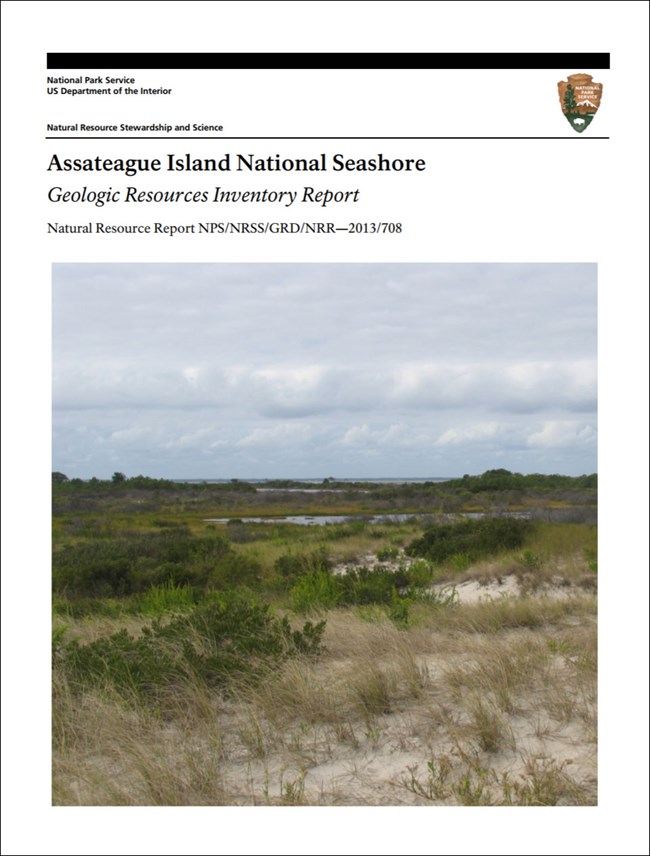
- Reports use the maps to discuss the park’s setting and significance, notable geologic features and processes, geologic resource management issues, and geologic history.
- Posters are a static view of the GIS data in PDF format. Newer posters include aerial imagery or shaded relief and other park information. They are also included with the reports.
- Projects list basic information about the program and all products available for a park.
Source: NPS DataStore Saved Search 2711. To search for additional information, visit the NPS DataStore.
A NPS Soil Resources Inventory project has been completed for Assateague Island National Seashore and can be found on the NPS Data Store.
Source: NPS DataStore Saved Search 2701. To search for additional information, visit the NPS DataStore.

Related Links

