Last updated: June 18, 2024
Article
NPS Geodiversity Atlas—Fort Necessity National Battlefield, Pennsylvania
Geodiversity refers to the full variety of natural geologic (rocks, minerals, sediments, fossils, landforms, and physical processes) and soil resources and processes that occur in the park. A product of the Geologic Resources Inventory, the NPS Geodiversity Atlas delivers information in support of education, Geoconservation, and integrated management of living (biotic) and non-living (abiotic) components of the ecosystem.

Introduction
Fort Necessity National Battlefield (FONE) is situated in the Allegheny Mountains section of the Appalachian Plateau physiographic province in Fayette County, southwestern Pennsylvania. Authorized as a national battlefield site on March 4, 1931, FONE encompasses approximately 365 hectares (903 acres) and protects the pivotal battle site that marks the beginning of the French and Indian War and set the stage for the American Revolution (Anderson 2017). The battle at Fort Necessity on July 3, 1754 was the first test of military leadership for a 22-year-old Colonel George Washington and resulted in his only surrender. FONE has abundant natural resources and opportunities for visitors that include interactive exhibits, talks, tours, historic weapons demonstrations, hiking trails, and cross-country skiing. The landscape at FONE provided superior forage for Washington’s horses and persuaded him to purchase the land sixteen years after the battle.Geologic Setting
The bedrock geology of FONE consists of generally flat-lying, relatively undeformed rocks of the Mississippian and Pennsylvanian Subperiods, spanning approximately 360–300 million years ago. Rocks and fossils at the park record ancient depositional environments that include tropical marine settings, river plains, and coastal swamps (Koch and Santucci 2004). The landscape east of FONE is decorated with the rolling hills and steep valleys of the Allegheny Mountains, including Laurel Hill, Sugarloaf Knob, and Tharp Knob (Thornberry-Ehrlich 2009). To the west of the park, the valleys and hollows rise steeply towards Chestnut Ridge, a strategic high point during the battle of Fort Necessity capped by Pennsylvanian-age sandstone (Thornberry-Ehrlich 2009).Paleontological Resources
All NPS fossil resources are protected under the Paleontological Resources Preservation Act of 2009 (Public Law 111-11, Title VI, Subtitle D; 16 U.S.C. §§ 470aaa - 470aaa-11).
Cave and Karst
All NPS cave resources are protected under the the Federal Cave Resources Protection Act of 1988 (FCRPA)(16 U.S.C. § 4301 et seq.).
Abandoned Mineral Lands
NPS AML sites can be important cultural resources and habitat, but many pose risks to park visitors and wildlife, and degrade water quality, park landscapes, and physical and biological resources. Be safe near AML sites—Stay Out and Stay Alive!
Regional Geology
Fort Necessity National Battlefield is a part of the Appalachain Plateaus Physiographic Province and shares its geologic history and some characteristic geologic formations with a region that extends well beyond park boundaries.
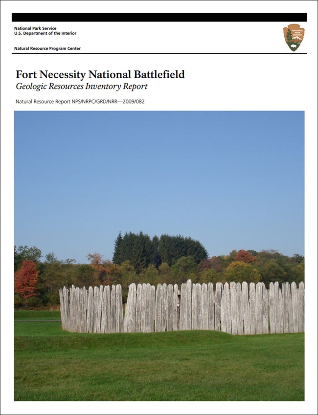
- Scoping summaries are records of scoping meetings where NPS staff and local geologists determined the park’s geologic mapping plan and what content should be included in the report.
- Digital geologic maps include files for viewing in GIS software, a guide to using the data, and a document with ancillary map information. Newer products also include data viewable in Google Earth and online map services.
- Reports use the maps to discuss the park’s setting and significance, notable geologic features and processes, geologic resource management issues, and geologic history.
- Posters are a static view of the GIS data in PDF format. Newer posters include aerial imagery or shaded relief and other park information. They are also included with the reports.
- Projects list basic information about the program and all products available for a park.
Source: NPS DataStore Saved Search 2860. To search for additional information, visit the NPS DataStore.
A NPS Soil Resources Inventory project has been completed for Fort Necessity National Battlefield and can be found on the NPS Data Store.
Source: NPS DataStore Saved Search 2928. To search for additional information, visit the NPS DataStore.

Related Links
Related Articles
Fort Necessity National Battlefield
National Park Service Geodiversity Atlas
The servicewide Geodiversity Atlas provides information on geoheritage and geodiversity resources and values within the National Park System. This information supports science-based geoconservation and interpretation in the NPS, as well as STEM education in schools, museums, and field camps. The NPS Geologic Resources Division and many parks work with National and International geoconservation communities to ensure that NPS abiotic resources are managed using the highest standards and best practices available.

