Last updated: July 9, 2024
Article
NPS Geodiversity Atlas—Knife River Indian Villages National Historic Site, North Dakota
Geodiversity refers to the full variety of natural geologic (rocks, minerals, sediments, fossils, landforms, and physical processes) and soil resources and processes that occur in the park. A product of the Geologic Resources Inventory, the NPS Geodiversity Atlas delivers information in support of education, Geoconservation, and integrated management of living (biotic) and non-living (abiotic) components of the ecosystem.

Introduction
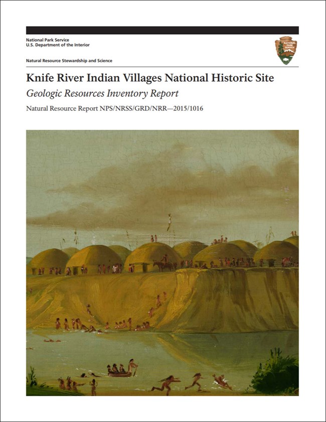
Knife River Indian Villages National Historic Site (KNRI) is located along the Knife and Missouri Rivers just north of the city of Stanton, about 80 km (50 mi) northwest of Bismarck in Mercer County, North Dakota. The national historic site was authorized on October 26, 1974, and contains approximately 707 hectares (1,749 acres) featuring some of the best-preserved examples of remnant earthlodge villages related to Hidatsa, Mandan, and Arikara tribes of the Northern Great Plains (National Park Service 2016a). The resources preserved at KNRI document the cultural lifestyles of Northern Great Plains communities along the Missouri River and represent a cornerstone in archeological, ethnographic, and historical research (National Park Service 2013b). Three main village sites within KNRI include (from north to south): Hidatsa Village (Big Hidatsa Site), Awatixa Village (Sakakawea Site), and the Awatixa Xi’e Village (Lower Hidatsa Site). The village communities at KNRI were part of a major trade center for Northern Great Plains tribes and served an important role in the exploration of the American West, hosting several notable travelers that include the Corps of Discovery, John James Audubon, George Catlin, and many others. The historic site is associated with the Lewis and Clark National Historic Trail as a notable stop along the Corps of Discovery route: Lewis and Clark first met Sacagawea when she was living at the Sakakawea Site (Graham 2015b).
Geologic Setting
Knife River Indian Villages National Historic Site is situated in the Great Plains physiographic province within the Williston Basin, a large, petroleum-rich sedimentary basin that stretches across parts of North Dakota, South Dakota, Montana, and southern Canada. The geologic history of the Williston Basin dates back at least 550 million years ago, to a time when ancient seas inundated the Great Plains region of ancestral North America (Gerhard et al. 1982). Geologic formations mapped within KNRI are entirely Cenozoic in age and include the Paleozoic Bullion Creek Formation and Sentinel Butte Formation; Pleistocene Coleharbor Formation; and Quaternary Oahe Formation. The Bullion Creek Formation and Sentinel Butte Formation are mapped as one undivided unit in the northern hills and river bluffs of KNRI, and consist of poorly lithified sedimentary deposits of yellow, brown, gray, and white sand, silt, clay, and some carbonaceous shale and lignite (Jacob 1973). The Coleharbor Formation forms the hills in southern and northern KNRI and is composed of an interlayered sequence of glacial till, lacustrine silt and clay, and fluvial sand and gravel that have been interpreted to record different episodes of Pleistocene glaciation (Benson 1952; Bluemle 1971). Deposits of the Oahe Formation contain loess, aeolian sand, alluvium, and colluvium that primarily occur in the floodplain of the Knife River and Missouri River.
Regional Geology
Knife River Indian Villages National Historic Site is a part of the Great Plains Physiographic Province and shares its geologic history and some characteristic geologic formations with a region that extends well beyond park boundaries.
- Scoping summaries are records of scoping meetings where NPS staff and local geologists determined the park’s geologic mapping plan and what content should be included in the report.
- Digital geologic maps include files for viewing in GIS software, a guide to using the data, and a document with ancillary map information. Newer products also include data viewable in Google Earth and online map services.
- Reports use the maps to discuss the park’s setting and significance, notable geologic features and processes, geologic resource management issues, and geologic history.
- Posters are a static view of the GIS data in PDF format. Newer posters include aerial imagery or shaded relief and other park information. They are also included with the reports.
- Projects list basic information about the program and all products available for a park.
Source: Data Store Saved Search 2996. To search for additional information, visit the Data Store.
A NPS Soil Resources Inventory project has been completed for Knife River Indian Villages National Historic Site and can be found on the NPS Data Store.
Source: Data Store Saved Search 3043. To search for additional information, visit the Data Store.
Related Articles
Knife River Indian Villages National Historic Site
National Park Service Geodiversity Atlas
The servicewide Geodiversity Atlas provides information on geoheritage and geodiversity resources and values within the National Park System. This information supports science-based geoconservation and interpretation in the NPS, as well as STEM education in schools, museums, and field camps. The NPS Geologic Resources Division and many parks work with National and International geoconservation communities to ensure that NPS abiotic resources are managed using the highest standards and best practices available.


