Last updated: July 16, 2024
Article
NPS Geodiversity Atlas—Stones River National Battlefield, Tennessee
Geodiversity refers to the full variety of natural geologic (rocks, minerals, sediments, fossils, landforms, and physical processes) and soil resources and processes that occur in the park. A product of the Geologic Resources Inventory, the NPS Geodiversity Atlas delivers information in support of education, Geoconservation, and integrated management of living (biotic) and non-living (abiotic) components of the ecosystem.

Introduction
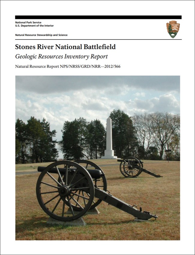
Stones River National Battlefield (STRI) comprises several units situated northwest of Murfreesboro along the West Fork of Stones River in Rutherford County, central Tennessee. Originally established as a national military park on March 3, 1927, the park unit was redesignated on April 22, 1960 (National Park Service 2016a). The national battlefield is separated into six areas covering a combined 263 hectares (650 acres), from west to east: (1) General Rosecrans Headquarters Site; (2) the main battlefield and National Cemetery; (3) Artillery Monument and McFadden Ford; (4) General Bragg Headquarters Site; (5) Redoubt Brannan; and (6) Lunettes Palmer and Thomas, and Curtain Wall No. 2 (Thornberry-Ehrlich 2012b). The national battlefield commemorates the Battle of Stones River, an important three-day Civil War battle to control one of middle Tennessee’s most productive agricultural areas and a critical, centrally located transportation network. Fought between December 31, 1862, and January 2, 1863, the battle ended in a strategic Union victory and marked the end of the Confederate Army’s attempt to move into Kentucky and the North (National Park Service 2014e).
Geologic Setting
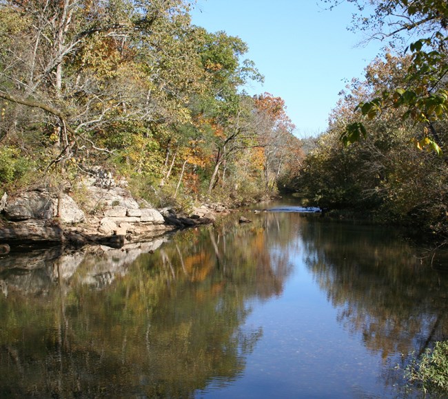
The bedrock underlying Stones River National Battlefield consists entirely of Ordovician-age (~470–455 Ma) limestone units originally deposited in a marine basin that inundated the Mississippi River corridor of eastern North America (Thornberry-Ehrlich 2012b). Geologic units mapped within STRI include the Pierce, Murfreesboro, Ridley, and Lebanon limestones, some of the oldest sedimentary rock exposures in Tennessee that were uplifted during the formation of the Nashville Dome by the end of the Paleozoic Era (Stearns and Reesman 1986). Dissolution and chemical erosion of these limestones has resulted in a karst landscape characterized by sinkholes, caves, and underground drainage. Younger surficial units mapped in STRI include alluvium (unconsolidated gravel, sand, silt, and clay) along the West Fork Stones River corridor and some thin soils between bedrock outcrop exposures (Thornberry-Ehrlich 2012b).
Regional Geology
Stones River National battlefield is a part of the Interior Low Plateaus Physiographic Province and shares its geologic history and some characteristic geologic formations with a region that extends well beyond park boundaries.
- Scoping summaries are records of scoping meetings where NPS staff and local geologists determined the park’s geologic mapping plan and what content should be included in the report.
- Digital geologic maps include files for viewing in GIS software, a guide to using the data, and a document with ancillary map information. Newer products also include data viewable in Google Earth and online map services.
- Reports use the maps to discuss the park’s setting and significance, notable geologic features and processes, geologic resource management issues, and geologic history.
- Posters are a static view of the GIS data in PDF format. Newer posters include aerial imagery or shaded relief and other park information. They are also included with the reports.
- Projects list basic information about the program and all products available for a park.
Source: NPS DataStore Saved Search 3176. To search for additional information, visit the NPS DataStore.
A NPS Soil Resources Inventory project has been completed for Stones River National Battlefield and can be found on the NPS Data Store.
Source: NPS DataStore Saved Search 3127. To search for additional information, visit the NPS DataStore.

Related Links
Related Articles
Stones River National Battlefield
National Park Service Geodiversity Atlas
The servicewide Geodiversity Atlas provides information on geoheritage and geodiversity resources and values within the National Park System. This information supports science-based geoconservation and interpretation in the NPS, as well as STEM education in schools, museums, and field camps. The NPS Geologic Resources Division and many parks work with National and International geoconservation communities to ensure that NPS abiotic resources are managed using the highest standards and best practices available.

