Sited within the boundaries of the Presidio of San Francisco National Historic Landmark (NHL), the United States Coast Guard Fort Point Station is a five acre historic district located in the Golden Gate National Recreation Area. The U.S.C.G. Fort Point Station period of significance extends from 1915 to 1964, which includes the period of initial development until the time new lifesaving equipment was introduced, drastically altering the way in which the site was used.

NPS

NPS
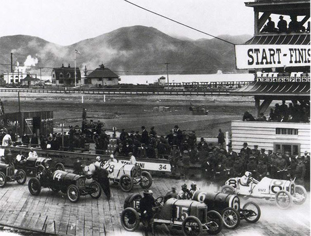
The U.S.C.G. Fort Point Station contains structures associated with maritime transportation and early social and humanitarian efforts. The original Fort Point Lifeboat Station was built just east of the existing station in 1890 to aid ships that were stranded or wrecked at sea. The station was moved in 1915 to make room for the Panama Pacific International Exposition, and it has stood in its present location since then with substantial additions and alterations being made throughout the period of significance.
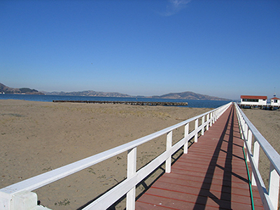
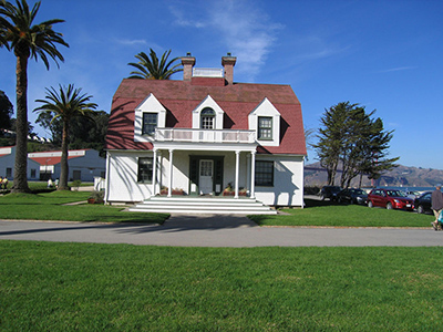
The major contributing features of the district include the 1890 boathouse, the Officer in Charge quarters, the 1915 boathouse, tide gauge house, buoy shack, storage building, pier, breakwater, and concrete seawall. Additional features include a row of Canary Island date palms, lawns, footpaths, and driveways. Some features such as the juniper hedges and the Monterey cypress windbreak do not contribute to the landscape's historic significance, but they are compatible with the U.S.C.G. Fort Point Station Historic District. Other features, such as the planters, accessible ramps, the entrance gate, and some of the foundation plantings, do not contribute and are not compatible with the historic district. Like the Presidio, the U.S.C.G Fort Point Station's close relationship to San Francisco is also part of its historic value.

NPS / Golden Gate National Recreation Area, Park Archives and Records Center (GOGA-1766)

NPS
Changing technology eventually rendered the station obsolete, and the Fort Point Coast Guard Station was deactivated in 1990. Currently, the station is maintained by the National Oceanic and Atmospheric Administration (NOAA) and the National Park Service (NPS). Most of the structures are used as office and educational space by NOAA. Overall, the district is in good condition and exhibits all seven aspects of integrity as defined by the National Register of Historic Places.
With the gentle slope leading to the San Francisco Bay and its clear views of the entire North Bay and the Golden Gate Bridge, the natural systems and features of the U.S.C.G Fort Point Station provided an ideal location for a lifeboat station, with the area of calm waters allowing for easier rescues. Other important landscape characteristics that contribute to the significance of the proposed district include spatial organization, vegetation, circulation, buildings and structures, and small scale features.
The remaining contributing buildings and structures display the evolution of the lifeboat station, including the original boathouse, the original Officer in Charge quarters, and the newer boathouse, as well as the pier, breakwater, seawall, and outlying buildings. The footpaths and driveways from the original plan are still present, although the vehicular access to the site was changed during the Crissy Field Redevelopment Project in the 1990s. Vegetation patterns such as rectilinear lawns, hedges, and Canary Island date palms are still present.
Quick Facts
- Cultural Landscape Type: Historic Site
- National Register Significance Level: State
- National Register Significance Criteria: A,C
- National Historic Landmark
- Period of Significance: 1915 - 1964
Landscape Links
Last updated: December 30, 2020
