Native Lands Park

A rolling, grassy field with two hikers below a blue, cloudy sky.
Native Lands County Park sits atop a hillside overlooking the Susquehanna River. These rolling fields were once planted with enough corn and other crops to feed a large community.

Will Parson/Chesapeake Bay Program
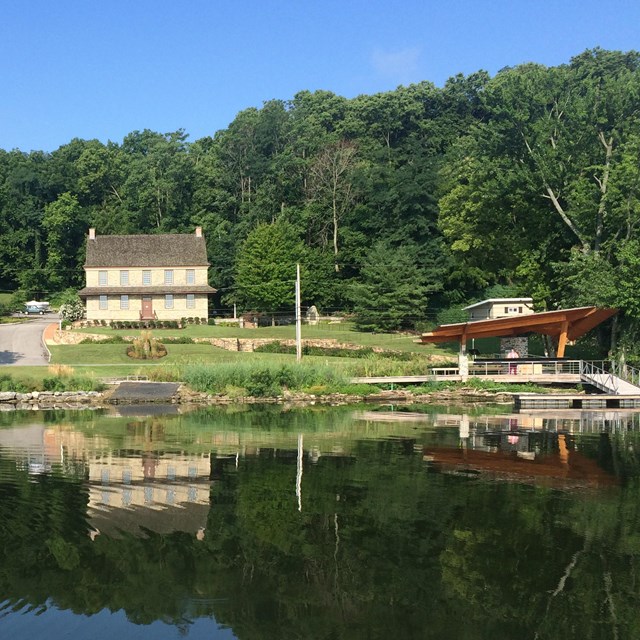
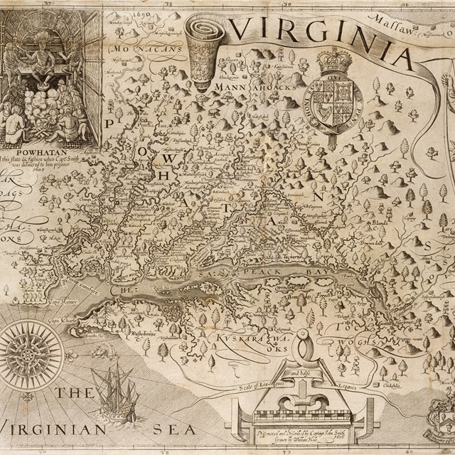
 
 
A man from the Susquehannock Tribe illustrated on a map holding a long bow.
A man from the Susquehannock Tribe illustrated on John Smith's 1624 map of "Virginia."

About the Park

What is Native Lands Park?

Native Lands Park is a 160-acre park in Wrightsville, Pennsylvania which preserves the site of a Susquehannock settlement. The Susquehannock were a Native group that lived along the Susquehanna River in Pennsylvania. Occupied from 1676 to 1680, the town was home to some 3,000 people. Long after the Susquehannock departed the site, between 1824 and 1879, members of the Dritt family were buried here in a family plot. Encompassing both the archeological site and cemetery, Native Lands Park features wide, grassy walking trails that provide a scenic overlook of the Susquehannock River. Native Lands Park is listed in the National Register of Historic Places.

Who were the Susquehannock?

The Susquehannock were an Iroquoian-speaking people who moved into the lower-Susquehanna River valley around the year 1550 AD. “Susquehannock” is an Algonquian name for the Tribe, and their true name was never recorded. It is believed that they moved here from further north due to pressure from other Iroquoian Tribes, or to better control the fur trade along the river.

Living in fortified towns along the shore of the river or on islands, the Susquehannock did come to control the fur trade. They became powerful by trading not only with other Native peoples, but with Europeans too, developing relationships with the French, English, and others.

But their success would not last forever. In 1676, the Susquehannock’s population fell to 900 individuals from a population of 3,000 just 20 years earlier. Devastated by foreign diseases and at war with rival tribes like the Seneca, the Susquehannock consolidated their entire population into one town, at what is now Native Lands Park.

Learn more about the Susquehannock

 
Engraving circa 1720 of a Susquehannock town
An engraving circa 1720 of "The Indian Fort Sasquesahanok" by Herman Moll, a British cartographer.

What did the Susquehannock town look like?

As you look out on the rolling fields of Native Lands County Park, imagine large agricultural fields extending to the forest's edge that fed the town's substantial community.

Notice the clear view of the river from this high point, a strategic location to defend the town from enemies. Fishing weirs, or traps, and canoes could be seen on the water from the town.

The town was surrounded by a log stockade wall which enclosed more than a dozen 90-foot longhouses. Each longhouse was home to some 50 family members.

Learn more about the town

Visiting the Park


Visitors should park at the Zimmerman Center for Heritage to enter Native Lands County Park from the trailhead. The Mason-Dixon Trail also passes through the park. Visitors can enjoy the self-guided tour found in the brochure and map below. The trail offers outstanding views of the Susquehanna River from a rolling landscape of meadows and woodlands.

View a map and brochure of Native Lands Park

Learn more about the Zimmerman Center for Heritage

Take a virtual walk of the park with Terrain 360

Contact Information:
Address: 1706 Long Level Rd, Wrightsville, PA 17368
Phone: 717-252-0229
Website: https://susqnha.org/explore-2/zimmerman-center/
Email: info@susqnha.org


Last updated: December 15, 2023

Park footer

Contact Info

Mailing Address:

P.O. Box 210
Yorktown, VA 23690

Phone:

(757) 856-1220

Contact Us

Tools