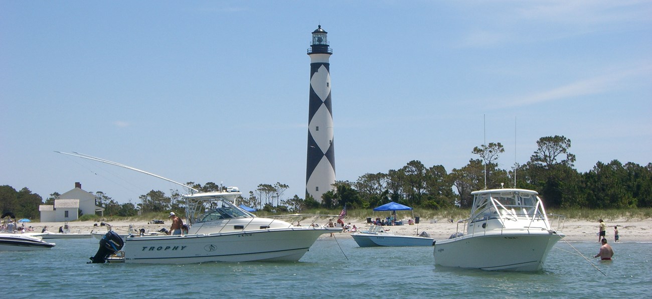
NPS Photo Prohibited Areas Near Cape Lookout Lighthouse and Shackleford BanksPrivate motor boats may moor at seashore public docks, for a maximum of 15 minutes, while actively loading and unloading, except for specific closures posted at docks, or as otherwise noted below: The former U. S. Coast Guard Dock at Cape Lookout is closed to all public mooring and vehicle use, except as otherwise authorized. The dock is closed to all public entry.
The use of non-motorized vessels (canoes, kayaks, etc.) within the Harkers Island Boat Basin is prohibited. The launching/landing area for these craft is behind the rock sill at the Harkers Island Picnic Area parking lot.
The waters within the areas marked off by the lines of buoys to the north and south adjacent to the lighthouse dock and the dock are closed to mooring/anchoring; vessels may use the dock only while actively loading and unloading passengers and gear. Kayaks, canoes, and similar watercraft should beach their crafts outside of the buoys.
The waters within the areas marked off by the lines of buoys to the east and west adjacent to the Shackleford dock and the dock itself are closed to mooring/anchoring; motorized vessels may use the dock only while actively loading and unloading passengers and gear. Kayaks, canoes, and similar watercraft should beach their crafts outside of the buoys.
The waters within the areas marked off by the Island Express Ferry signs posted on the west and east ends of Shackleford Banks.
Boating Near Great Island Cabin Camp Operators of private motor boats may use the Great Island boat basin, and may use the small dock at the basin for a maximum of 15 minutes, while actively loading and unloading, provided that:
Boating Near Long Point Boat Basin Operators of private boats may use the Long Point boat basin. Private boaters may use the dock in the boat basin for a maximum of 15 minutes, while actively loading and unloading. A limited number of boats may be beached on the shore near the ferry loading ramp (mostly behind the breakwater), provided that:
Launch Areas for All Boat Types Free boating access ramps are provided on the mainland by the North Carolina Wildlife Resources Commission. The closest ramps to the islands of Cape Lookout National Seashore in Carteret County are listed below. A checkmark (√) symbol indicates those ramps considered fully accessible due to designated disabled user parking, paved walkways to the launch ramps, and barrier free docks.
Intracoastal Waterway: Travel east along US 70 2.7 miles form the intersection of US 70 and NC 24, turn right beside Visitor's Center. Area located behind Visitor Center.
Taylor's Creek: From the Beaufort US 70 drawbridge, travel east along US 70 for 1 mile and turn right on Lennoxville Road. Proceed 1.6 miles and the access area is located on the right along the waterfront in Graydon Paul Park.
North River: Travelling east on US 70 from Beaufort, approximately 0.75 miles east of Otway at the intersection of US 70 and SR 1332 (Harkers Island Road), turn right onto SR 1332. Travel approximately 3.8 miles to the area. Area will be located on the right just before crossing the causeway onto Harkers Island.
Oyster Creek: Beginning from the junction of US 70 and NC 101 east of Beaufort, travel east on US 70 for 18.5 miles. The area will be located on the right.
Salters Creek: From Beaufort travel east on US 70 toward Cedar Island, area located at the northeast end of the high-rise bridge that crosses Nelson's Bay at the community of Sea Level.
Pamlico Sound: Travel on US 70 east from Beaufort then NC 12 to Cedar Island. Entrance to area is located on Driftwood Road 0.1 mile before state ferry entrance.
|
Last updated: March 22, 2025
