|
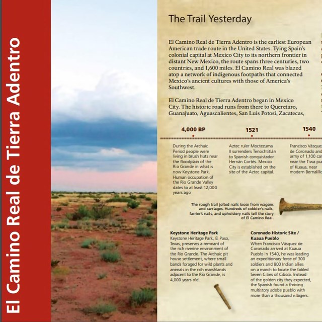
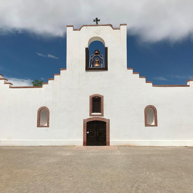
El Camino Real de Tierra Adentro National Historic Trail extends 404 miles between El Paso, Texas to Santa Fe, New Mexico, while the historic trail extended all the way to Mexico City. There are museums, historic sites, churches, and original trail segments located all along the length of the trail into Mexico. 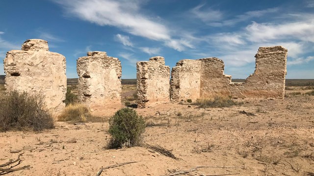
Basic Information
Find info about fees & passes, FAQs, special alerts, how to see ruts & swales, and more. 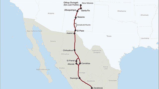
Directions
Navigate the trail miles with maps, interactive GIS maps, sign info and more. 
Things to Do
Bike, hike, run, horseback ride, paddle, birdwatch, climb, camp, RV, photograph - there are countless ways to explore your historic trails! 
Places To Go
Where can you visit the trail? Use the interactive map to find places to visit. 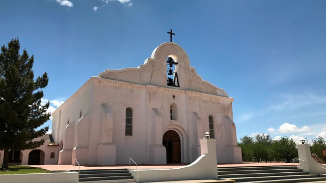
El Camino Travel Itinerary
Follow a travel itinerary for a planned trip exploring multiple trail sites in one region.
|
Last updated: September 13, 2022