News Release
You are viewing ARCHIVED content published online before January 20, 2025.
Please note that this content is NOT UPDATED, and links may not work. For current information,
visit https://www.nps.gov/aboutus/news/index.htm.

NPS Photo
|
Subscribe
|
Contact: Nick Clemons
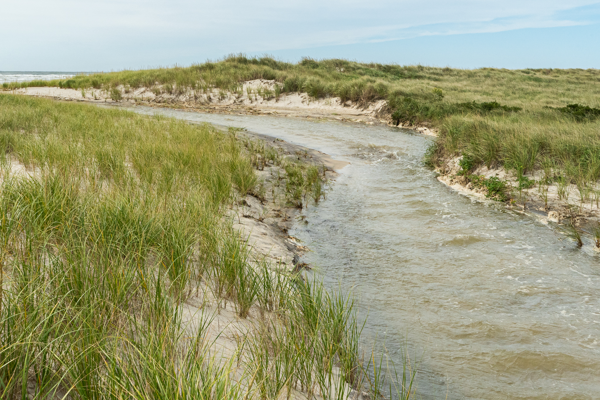
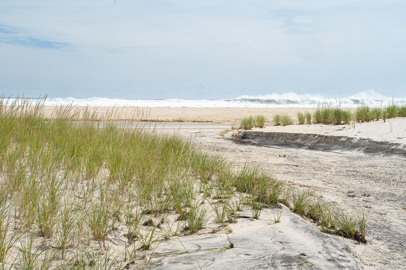
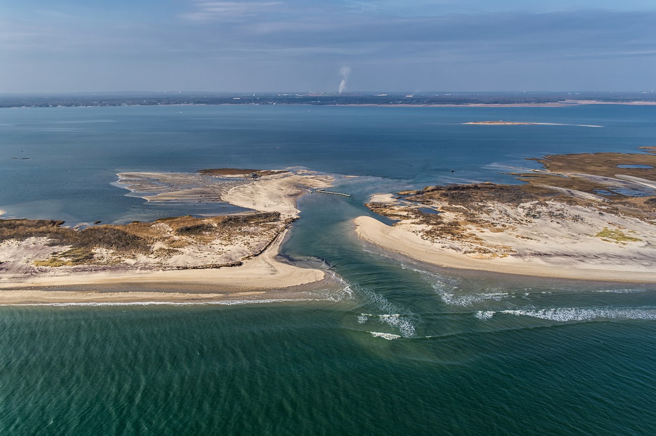
Patchogue, NY –The recent storms and flooding events that battered the northeast corridor created a number of overwashes throughout the island, but there were no confirmed breaches on Fire Island. We continue to monitor all storm events and work closely with our federal and local government agencies to assess damages and develop potential coastal interventions where needed.What is a Breach? Overwash?
As referenced in the Army Corps of Engineers Fire Island Inlet to Montauk Point, NY Combined Beach Erosion Control and Hurricane Protection Project (FIMP): Breaching refers to the condition where a channel across the island is formed that permits the exchange of ocean and bay waters under normal tidal conditions. The breach may be temporary or permanent (i.e., a new inlet) depending on its size, adjacent bay water depths, potential tidal prism, littoral drift, and water level and wave conditions following the storm. (FIMP pg. 26)
Overwash is the flow of water in restricted areas over low parts of barriers that typically occur during high tides or storms. Depending on the storm magnitude and island width, overwash areas of newly transported sand may penetrate no farther than the dunes or may be spread onto the marshes or into the bay. In general, major overwashes extending into the bay occur only during severe storms. (FIMP pg. 25)
Barrier islands expand and contract everyday. The most notable changes to Fire Island occur during winter storms. It is important to remember that the only thing constant is change.
For information on barrier island dynamics and the FIMP project visit the Army Corps of Engineers final report Final General Reevaluation Report (army.mil).

NPS Photo.

NPS Photo

NPS Photo
Last updated: February 9, 2024
