|
Within the 3,500 acres of Harpers Ferry National Historical Park, there are many places to explore, learn, and enjoy. This page describes areas of the park and links to more information. If you have any questions, please contact us at 304-535-6029 or email us. 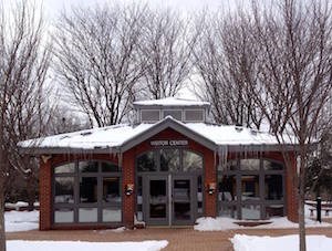
Visitor CenterWe recommend you begin your visit at the Visitor Center (located at 171 Shoreline Drive, Harpers Ferry, WV 25425) to pick up brochures and trail maps and to talk to the rangers about the daily program offerings. From this location you board the park shuttle bus, which will take you to the Lower Town area of the park. You can also take the 1.6 mile (one-way) walk to the historic Lower Town. For trail description, difficulty, and length, visit the Visitor Center to Lower Town Trail page. 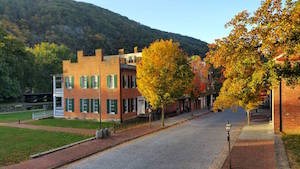
Lower TownLower Town is the most visited area of the park. Historic buildings along Shenandoah, High, and Potomac streets house park museums, exhibits, the park information center, and bookshop. Some of the popular places to visit in Lower Town are John Brown's Fort and The Point. 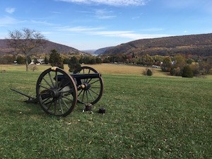
Bolivar HeightsBolivar Heights is one of the most important Civil War battlefields in West Virginia -- it was the site of the largest surrender of United States troops during the Civil War. Today, from this location, you can walk beside trenches, take a hike in the woods, or enjoy an incredible vista where you can see most of the park areas from one vantage point. Drive to this location on Whitman Avenue. 
Camp HillCamp Hill is an area of the park that encompasses armory, Civil War, and civil rights stories. Visitors can drive there directly or hike to the area from Lower Town along the Appalachian Trail. If taking the hike, stop by Jefferson Rock to take in the scenery before exploring the former Storer College campus or visiting the Appalachian Trail Conservancy. 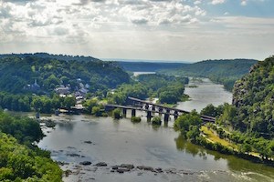
Loudoun HeightsAlmost equal to Maryland Heights in elevation and always less crowded, Loudoun Heights offers a bit more solitude and an overlook that is as good as or better than its northern cousin. Loudoun Heights also rewards its visitors with glimpses of the remnants of Civil War campsites and fortifications. The Appalachian Trail south is the only way to the top of the ridge. Then the park's blue-blazed trail leads to the Split Rock overlook and an awesome payoff for all of your effort. There are multiple options for accessing the trailhead: via the Camp Hill and Appalachian Trail (AT) from High Street in Lower Town, via the Virginius and Hall's Island Trail, from the Visitor Center to Lower Town Trail, or the River Access parking area. 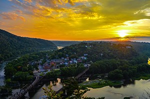
Maryland HeightsThe majority of hikers ascend Maryland Heights in search of a good view or a healthy workout. This mountain offers both hikes and scenic overlooks which will not disappoint. If history is your thing, Maryland Heights has remnants of extensive Civil War campsites and fortifications and its elevation made it hugely important during the war. To access this area, walk from Lower Town across the footbridge over the Potomac River to the C&O Canal towpath then take a left and walk along the path until there is signage for the Maryland Heights trail. 
Murphy-Chambers FarmThe Murphy-Chambers Farm offers hiking, history, and spectacular vistas. Walk down a farm lane and through fields and wooded ravines to see views of the Shenandoah River and the surrounding mountains, as well as Civil War cannons, earthworks, and the footprint of the John Brown Fort. Access this park area by driving or by hiking from the Harpers Ferry NHP Visitor Center. 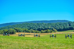
Schoolhouse Ridge NorthFor the Civil War buff who wants to gain "Stonewall" Jackson's perspective of the challenge in attacking Harpers Ferry, Schoolhouse Ridge North is a must see. The defensive prowess of opposing Union forces on Bolivar Heights simply cannot be appreciated without taking in the sweeping view from the cannons pointed east. Drive to this location on your own or add it to your Bolivar Heights hike. Take note: most of this trail is in full sun. 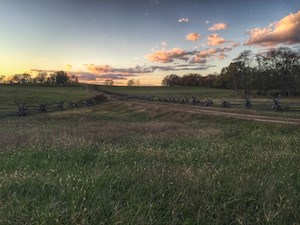
Schoolhouse Ridge SouthA nice variety of field and forest, ridge top and stream valley, rewards hikers to this area. The bench at the overlook on the southern end of the trail is one of the few places in the park with a view of South Mountain. To access this location, you must drive to its small parking lot off of Millville Road. Don't be alarmed if you hear the sound of gunfire in this area. The indoor firing range of the U.S. Customs and Border Protection is nearby. 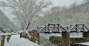
Virginius and Hall's IslandsExplore Virginius and Hall's Islands to discover how nature has reclaimed a place that was once full of factories and mills, canals and homes. Count how many birds, reptiles, and amphibians you see in this park area. Learn what the ruins used to be while strolling along the banks of the Shenandoah River. Walk to this location from Lower Town or from the Harpers Ferry NHP Visitor Center. |
Last updated: December 12, 2022
