NPS Photo
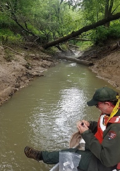
Threats to the aquatic ecosystems come from a variety of sources both within the park and outside the boundaries. Animal waste, septic waste, pesticides, and parking lot and road runoff are among the most common. Others include land uses such as oil and gas exploration and production, and hazardous material spills. Objectives for the program include checking for violations of state designated water-quality standards and determining the effects of land use and land-use changes as well as in-park activities, pollutants and acid precipitation.
The Cumberland Piedmont Network (CUPN) Water Quality Monitoring Program has 103 sites across the 14 network parks sampled on a set rotation. The program was developed primarily from protocols of the USGS National Water Quality Assessment. A fixed-date monthly, bi-monthly, or quarterly sampling schedule provides comparative statistics for the selected sites and parameters under variable flow conditions. Sampling locations are either integrator sites (locations commonly at tributary confluences or springs which are representative of water-quality issues within individual sub-basins) or indicator sites (locations downstream from either suspected or documented water-quality threats or with pristine conditions).
For more information, contact either Emma Brinley Buckley, Hydrologist, at (423) 569-7315 email or Brenda Wells, Biologist, at (270) 758-2134 email.
Last updated: April 12, 2022
