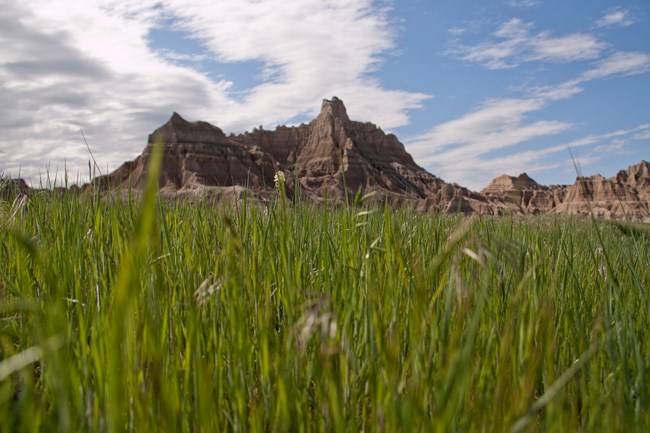
NPS Photo / Sara Feldt
Overview
Located in the midst of the Northern Great Plains and named Mako Sica by the Lakota people, Badlands National Park has 244,000 acres of spectacular landscapes, and protects one of the largest expanses of mixed-grass prairie in the United States. The mixed-grass prairie contains both ankle-high and waist-high grasses, and fills a transitional zone between the moister tall-grass prairie to the east and the more arid short-grass prairie to the west.The Badlands National Park vegetation mapping project delivers many geospatial and vegetation data products, including an indepth project report discussing methods and results. Vegetation map classes were determined through extensive field reconnaissance, data collection, and analysis in accordance with the National Vegetation Classification System. Twenty-three vegetation map classes and ten Anderson Level II land-use classes were used for interpretation of approximately 1.3 million acres encompassing the Park (approximately 242,755 acres) and surrounding environs.
Products
The products of vegetation mapping projects are stored and managed in the National Park Service's Data Store, a repository for documents and publications relating to park resources. From the highlighted items below, click on the type of information you are looking for.
Last updated: October 16, 2018
