NPS Photo
Overview
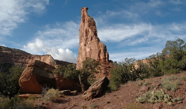
Most of Colorado National Monument rises more than 2,000 feet above the Grand Valley of the Colorado River. Situated at the edge of the Uncompahgre Uplift, the park is part of the greater Colorado Plateau, which also embraces such geologic wonders as the Grand Canyon, Bryce Canyon, and Arches. It is a semi-desert land of pinyon pines and junipers, ravens and jays, desert bighorns and coyotes. Vegetation within the monument and surrounding lands is primarily pinyon-juniper woodland, shrubs associated with this woodland include rabbitbrush, big sagebrush, single-leaf ash, broom snakeweed, Utah serviceberry, yucca, Mormon tea, mountain mahogany, and cliff rose.The Colorado National Monument Vegetation Inventory Project delivers many geospatial and vegetation data products, including an in-depth project report discussing methods and results, which include descriptions to vegetation associations, field keys to vegetation associations, map classification, and map-class descriptions. The suite of products also includes a database of vegetation plots, and accuracy assessment (AA) sites; digital images of field sites; digital aerial imagery; digital maps; a contingency table listing AA results; and a geodatabase of vegetation, field sites (vegetation plots, and AA sites), aerial imagery, project boundary, and metadata.
Products
The products of vegetation mapping projects are stored and managed in the National Park Service's Data Store, a repository for documents and publications relating to park resources. From the highlighted items below, click on the type of information you are looking for.
Last updated: September 18, 2018
