NPS Photo
Overview
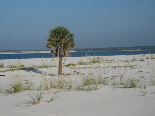
The Gulf Islands National Seashore preserves the natural environment of Gulf Coast environments including scrub shrub, fresh and saltwater marshes, oak hammocks, dune communities, and maritime forests. In addition to preserving a variety of natural habitats, GUIS contains several historic buildings. Tropical storms and hurricanes occur regularly along the Gulf Coast and are important drivers of many natural processes at the National Seashore. Barrier islands are incredibly dynamic systems that are constantly reworked through erosion and accretion by storm events, long-term currents, waves, sea level change, and available sediment supply. Many vegetation communities along the Gulf Coast are highly dynamic and resilient to hurricane and tropical storm disturbance. Sea oats grasslands, slash pine communities, and dune vegetation communities regenerate quickly following mild hurricane and tropical storm events.The Gulf Islands Vegetation Inventory Project delivers many geospatial and vegetation data products, including an in-depth project report discussing methods and results, which include descriptions to vegetation associations, field keys to vegetation associations, map classification, and map-class descriptions. The suite of products also includes a database of vegetation plots, and accuracy assessment (AA) sites; digital images of field sites; digital aerial imagery; digital maps; a contingency table listing AA results; and a geodatabase of vegetation, field sites (vegetation plots, and AA sites), aerial imagery, project boundary, and metadata.
Products
The products of vegetation mapping projects are stored and managed in the National Park Service's Data Store, a repository for documents and publications relating to park resources. From the highlighted items below, click on the type of information you are looking for.
Last updated: April 28, 2021
