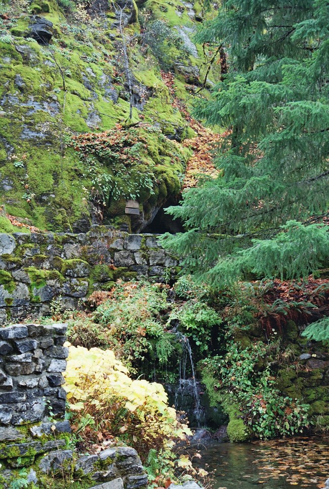
NPS Photo
Overview
At Oregon Caves National Monument, there are unique ecosystems above ground in an old-growth forest and below ground in a cave system. These ecosystems blur in what is known as "twilight zones" of caves--the region of the cave where there is an opening to the forest, where light can penetrate the room. Photosynthetic plants such as mosses thrive in this area. The Monument is located near the top of a steep drainage in the Siskiyou Mountains of southwest Oregon. Above ground, the monument includes the head and upper reach of a steep drainage and encompasses a remnant old-growth coniferous forest that supports a fantastic array of more than 500 plant species.The Oregon Caves National Monument and Preserve Vegetation Inventory Project delivers many geospatial and vegetation data products, including an in-depth project report discussing methods and results, which include descriptions to vegetation associations, field keys to vegetation associations, map classification, and map-class descriptions. The suite of products also includes a database of vegetation plots, and accuracy assessment (AA) sites; digital images of field sites; digital aerial imagery; digital maps; a contingency table listing AA results; and a geodatabase of vegetation, field sites (vegetation plots, and AA sites), aerial imagery, project boundary, and metadata.
Products
The products of vegetation mapping projects are stored and managed in the National Park Service's Data Store, a repository for documents and publications relating to park resources. From the highlighted items below, click on the type of information you are looking for.
Last updated: October 18, 2018
