
NPS
About the Map
The Region, depicted in orange outline on the map at right, covers the southern parts of Missouri and Illinois, Arkansas, Louisiana, Mississippi, and the western parts of Kentucky and Tennessee. The Mississippi River, depicted in dark blue, runs through the center of the region from north on the Illinois/Iowa border south into the Gulf of Mexico. National park system units are shown in brown squares. Natchez Trace Parkway, denoted in a brown line, runs from central Tennessee southwest to a point near the border of Mississippi and Louisiana. Gulf Islands National Seashore is denoted in brown and is located on the coast of Mississippi the eastern part of Florida. Find additional alternative text describing this map below. Map of the legislated boundary of the Lower Mississippi Delta Region. This description gives the location of National Park Service sites and important features in a clockwise direction, beginning with Illinois on the north. North is oriented up. National Park Service sites are denoted with brown squares. Major cities are denoted with small black dots.
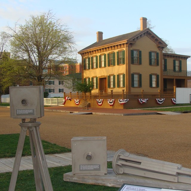
- Illinois: The southern part of the state is within the legislated boundary. Lincoln Home National Historic Site is in the south central part of the state. It is to the north of the legislated boundary.
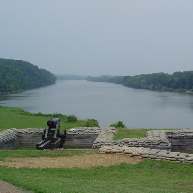
- Kentucky: The western part of the state is inside the legislated boundary. Fort Donelson National Battlefield is in the southwest corner of the state just to the east of the legislated boundary.
- Tennessee: The western part of the state is inside the legislated boundary. Fort Donelson National Battlefield is in the northwest part of the state, just to the east of the legislated boundary. Shiloh National Military Park is in the southern part of the state. The Natchez Trace Parkway runs from the central part of the state southwest into Mississippi.
- Mississippi: The entire state is inside the legislated boundary. Brices Cross Roads National Battlefield Site and Tupelo National Battlefield are located in the northeast corner of the state. Medgar and Myrile Evers Home National Monument is located in the central-west part of the state. Vicksburg National Military Park is located in the south central part of the state near the Mississippi River. Gulf Islands National Seashore, depicted with a brown line, is shown along the Gulf of Mexico. Natchez National Historical Park is located in the southeast part of the state, near the Mississippi River. Natchez Trace Parkway, depicted with a brown line, runs from the northeast corner of the state southeast to the Mississippi River near the location of Natchez National Historical Park.
- Louisiana: The entire state is inside the legislated boundary. New Orleans Jazz and Jean Lafitte National Historical Park and Preserve are located near the Mississippi River to the southeast of New Orleans. Vicksburg National Military Park is located in the northeast of the state near the Mississippi River. Poverty Point National Monument is located in the northeast corner of the state.
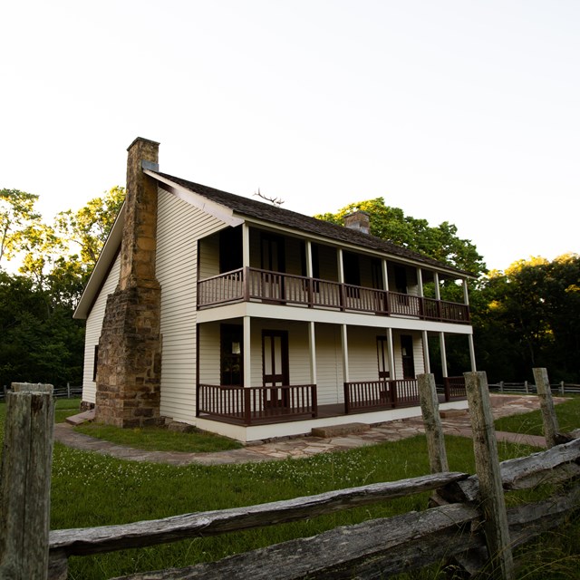
- Arkansas: The entire state is inside the legislated boundary. President William Jefferson Clinton Birthplace Home National Historic Site is in the southwest corner of the state. Arkansas Post National Memorial is in the southeast. Hot Springs National Park and Little Rock Central High School National Historic Site are in the central part of the state. Fort Smith National Historic Site is in the northwest. Buffalo National River is in the central-north. Pea Ridge National Military Park is in the northwest corner.
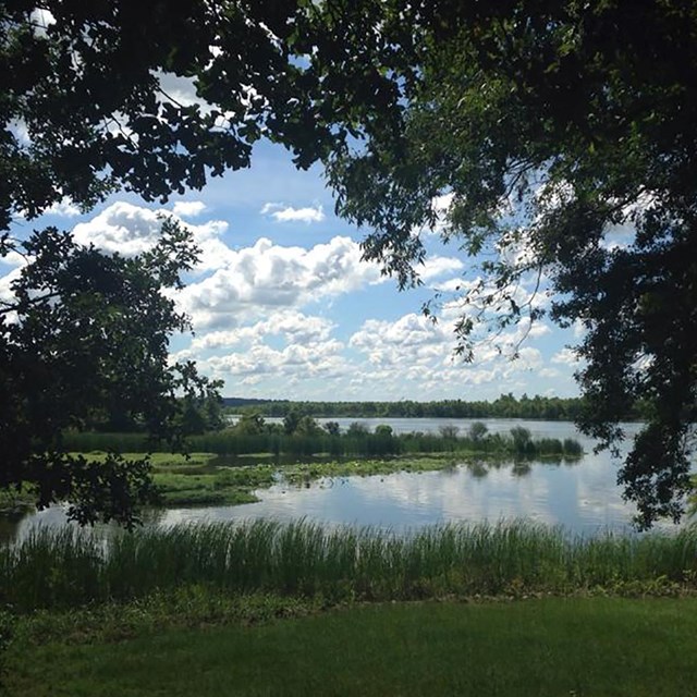
- Missouri: The southeast part of the state is inside the legislated boundary. Ozark National Scenic Riverways is in the south central part of the state. Ste. Genevieve National Historical Park is in the southeast part of the state near the Mississippi River. Ulysses S. Grant National Historic Site and Gateway Arch National Parks are just north of the legislated boundary in the area of St. Louis.
Arkansas National Parks


Illinois National Parks
Kentucky National Parks


Mississippi National Parks


National Heritage Areas
These National Heritage Areas are contained within the Lower Mississippi Delta Region. Follow the link for an interactive map and more info on National Heritage Areas.
Louisiana
Atchafalaya National Heritage AreaCane River National Heritage Area
Mississippi
Mississippi Delta National Heritage AreaMississippi Gulf Coast National Heritage Area
Mississippi Hills National Heritage Area
Tennessee
Tennessee Civil War National Heritage AreaKnow Before You Go
Last updated: February 4, 2022