NPMap5
The next generation of Web Maps in the National Park Service
https://www.nps.gov/maps/web/
DOI Open Source Geospatial Working Group | Aug. 24, 2023

Outline
pt 1
_
pt 2
_
_
pt 3
_
_
Park Tiles
Jake Coolidge
Web Cartographer
NPMap5
Jim McAndrew
Web and Database Developer
NPMap5 Plugins and Documentation
Rob Chohan
Maps for Web Architect
part one:
Park Tiles
What's Park Tiles?
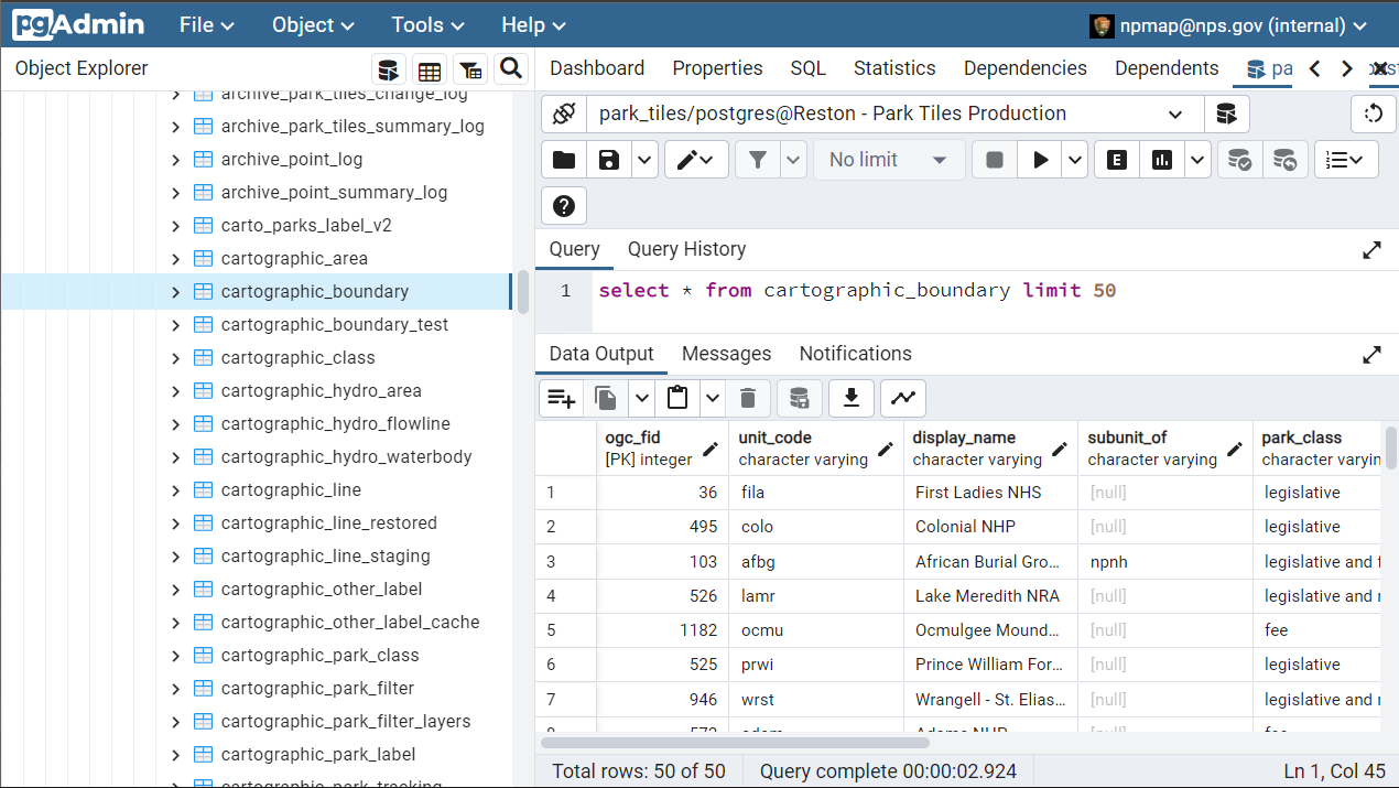
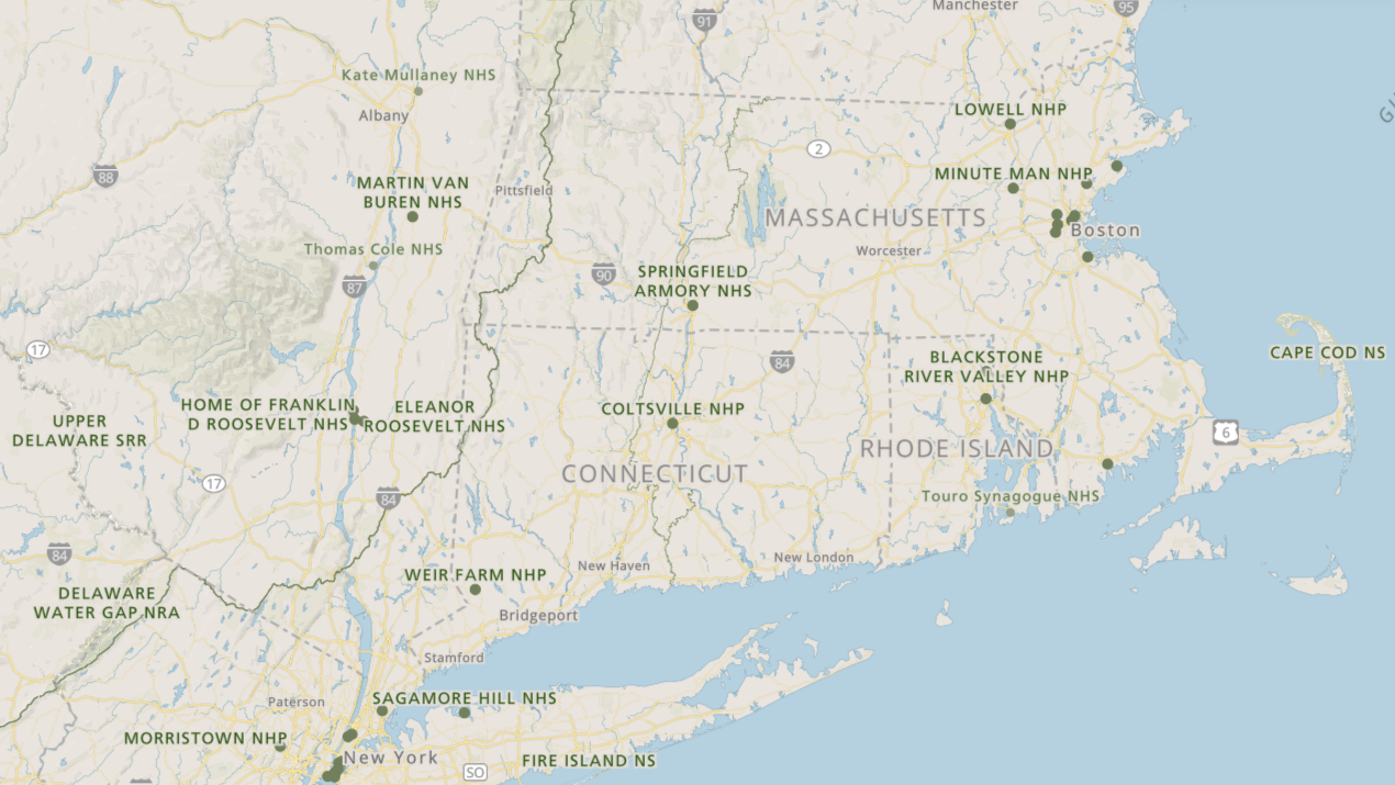
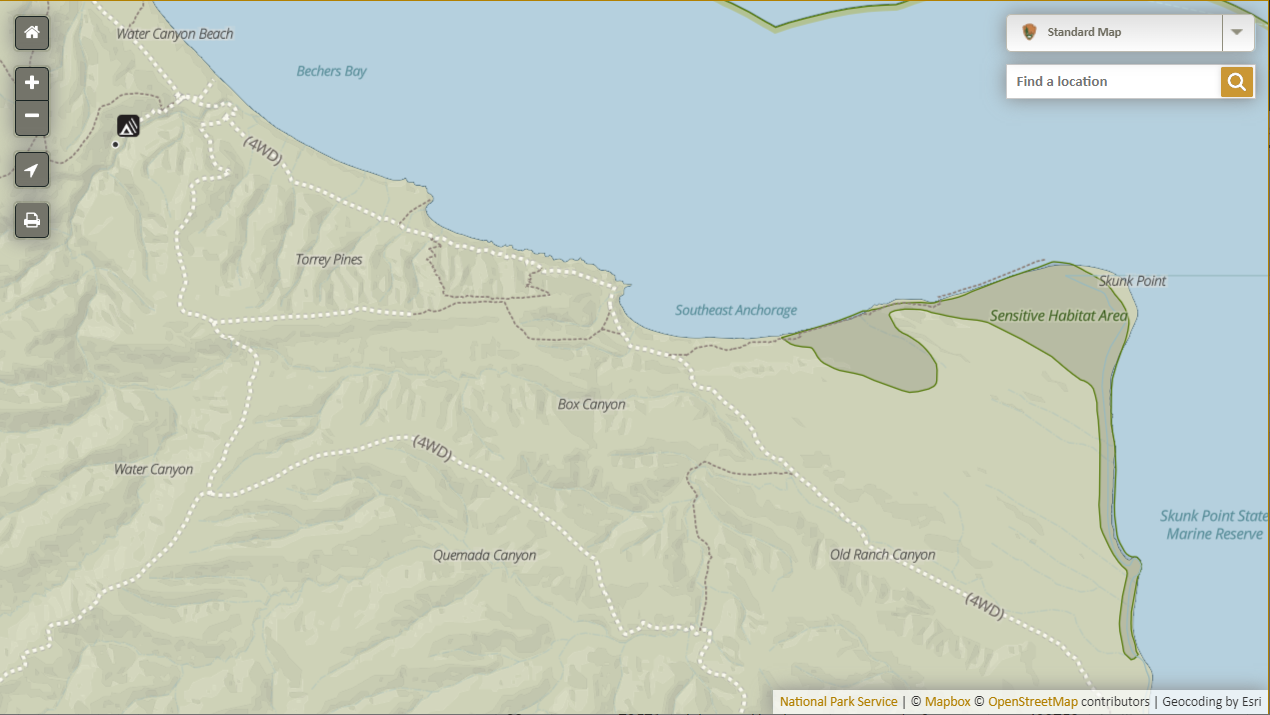
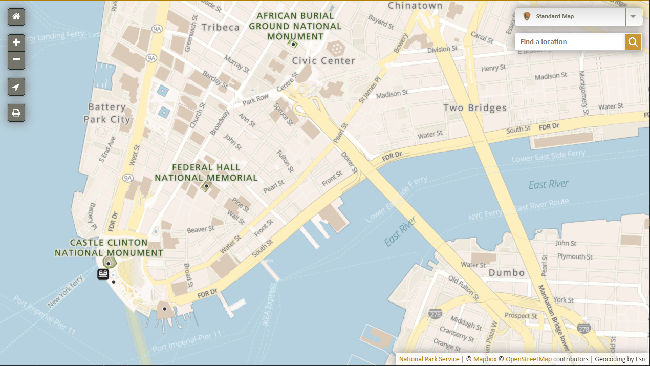
Park Tiles is the data and cartography system for NPS web maps.
http://www.nps.gov/maps/web/tools/park-tiles
Park Tiles data
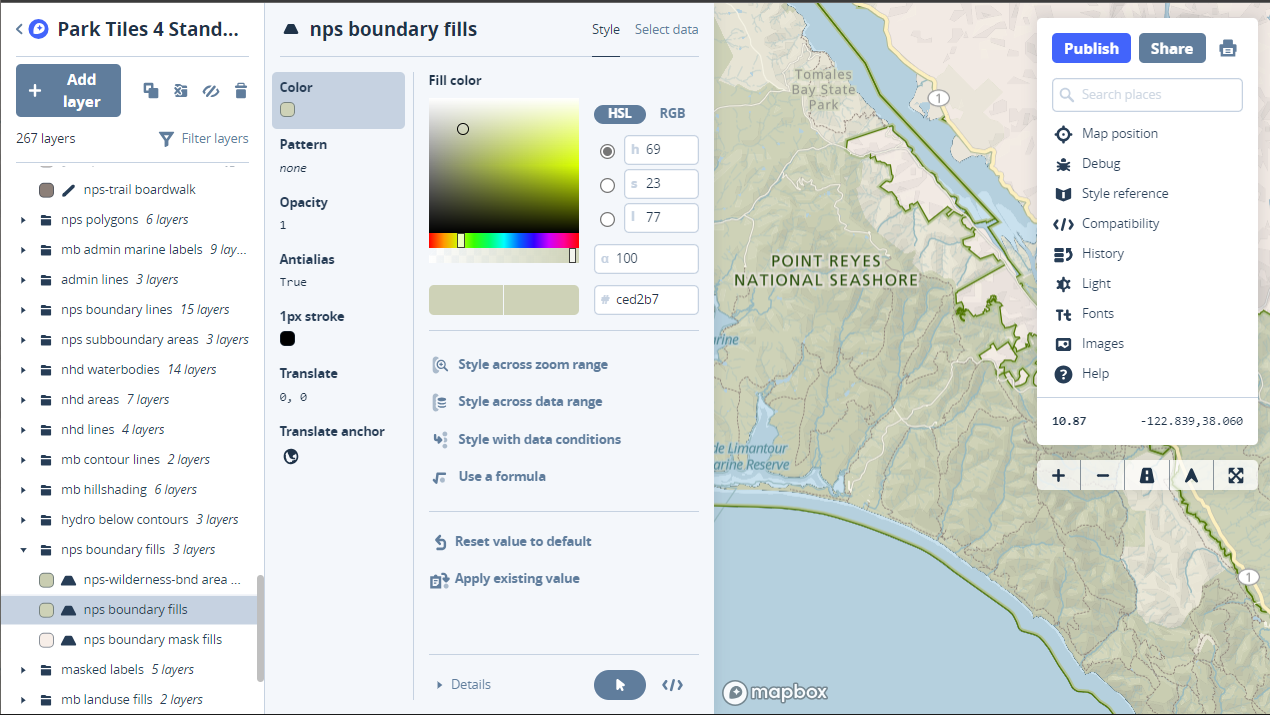
Park Tiles cartography
Park Tiles + NPMapJS
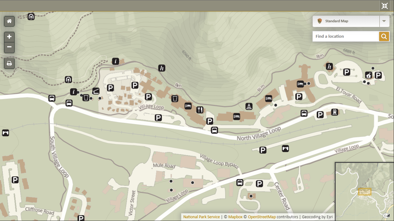
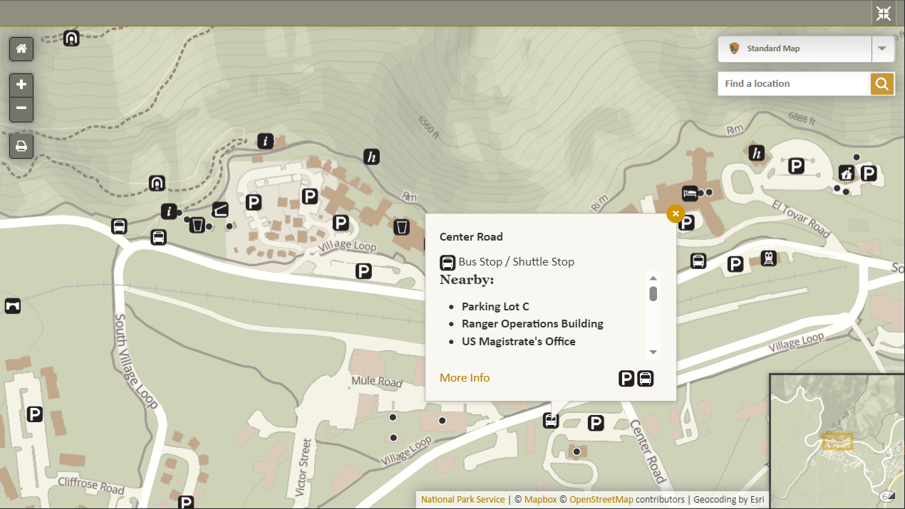
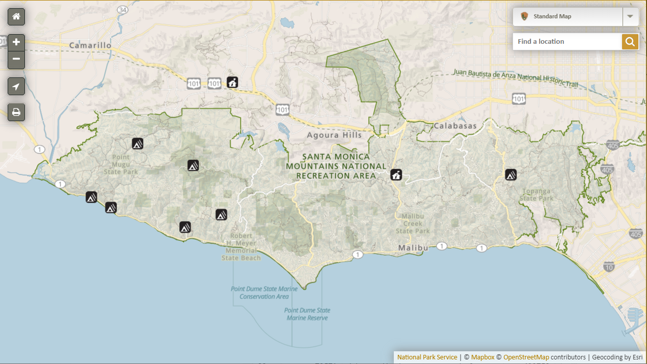
Our maps in action
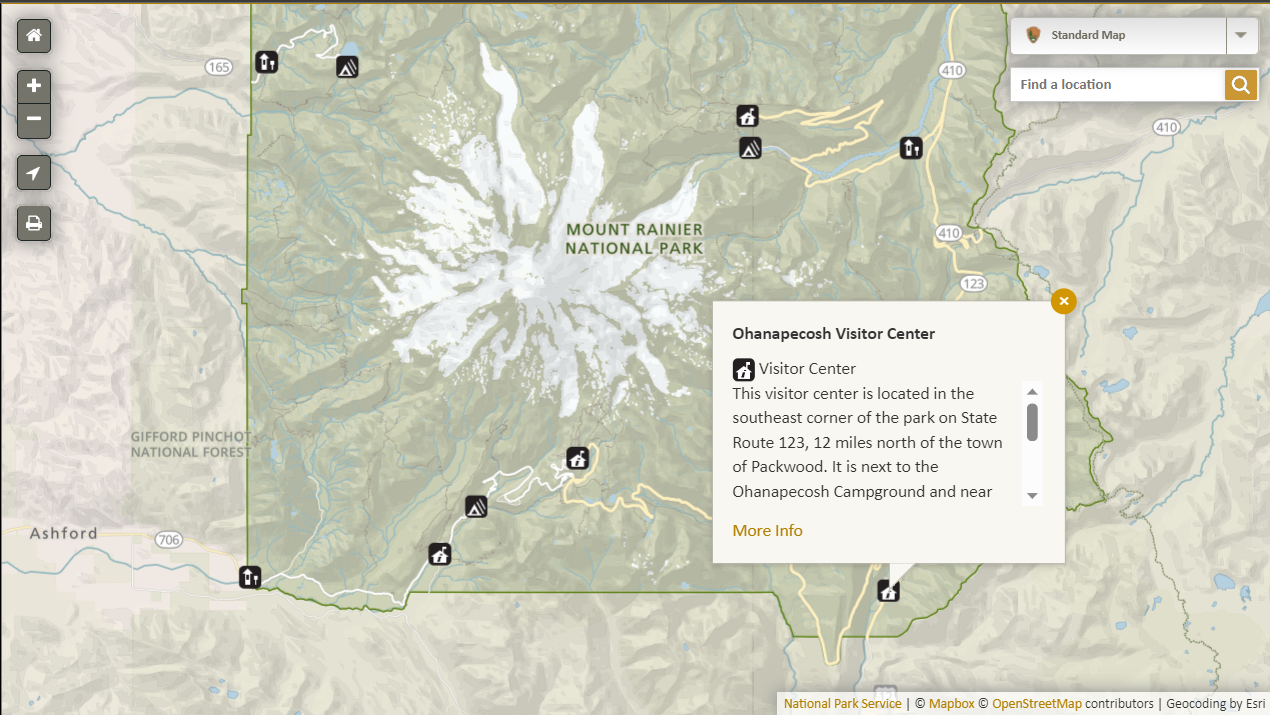
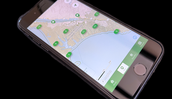
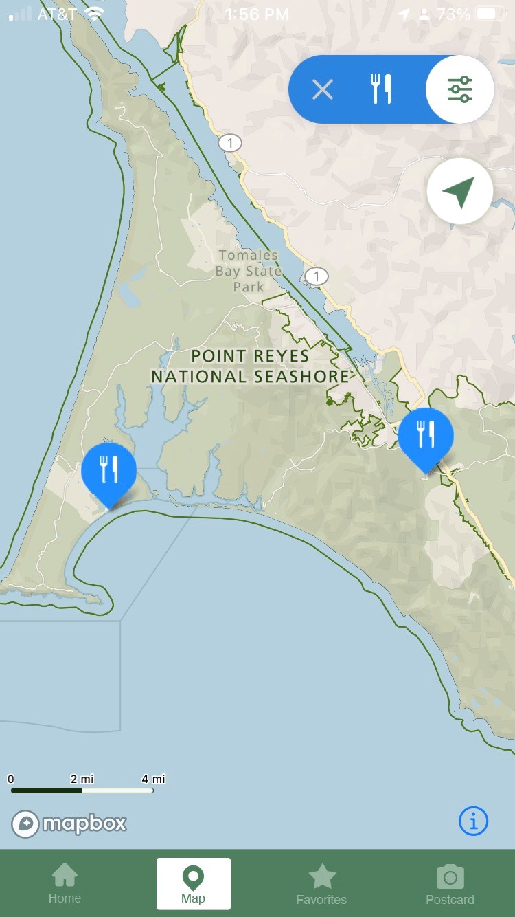
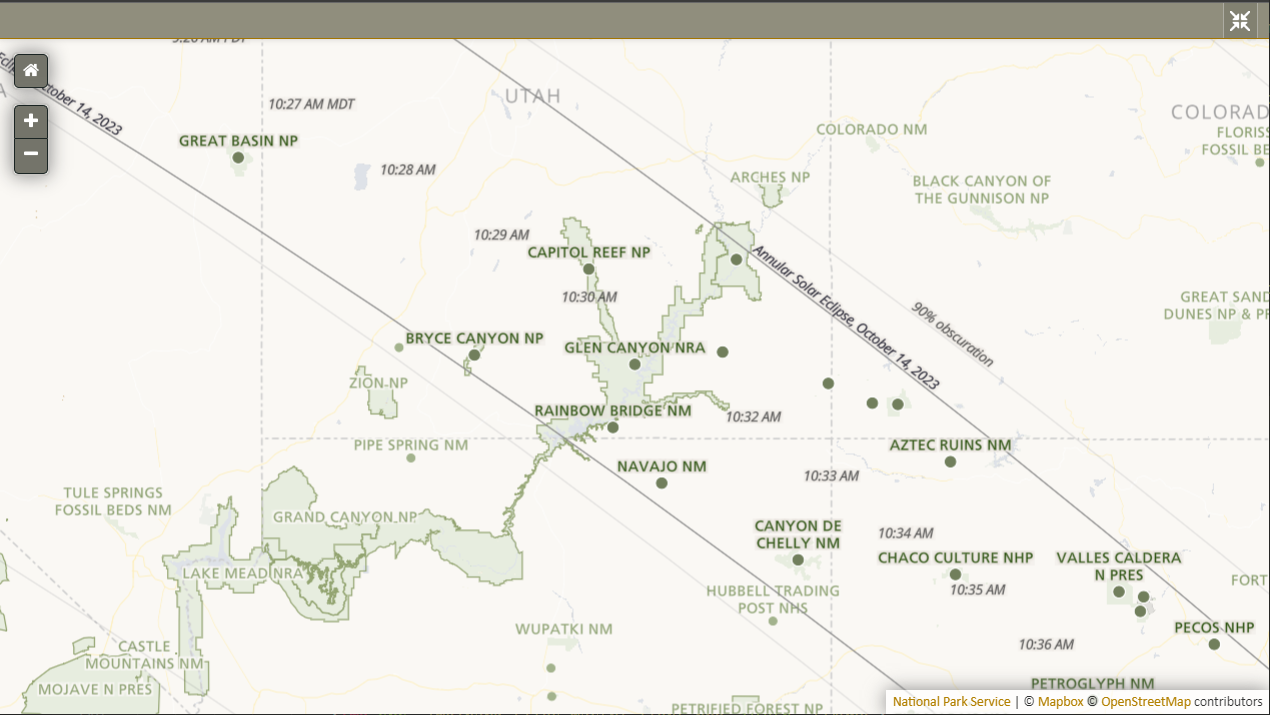
Plan Your Visit maps on nps.gov
NPS Mobile App
State Pages on nps.gov
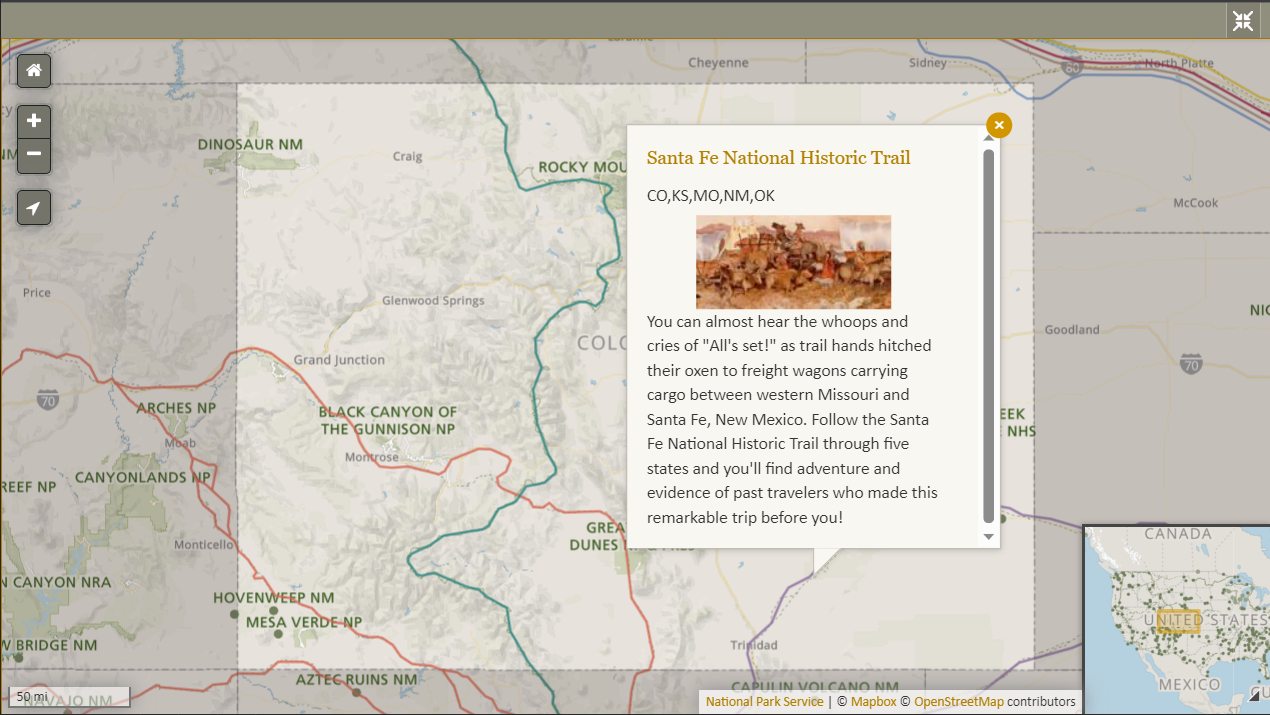
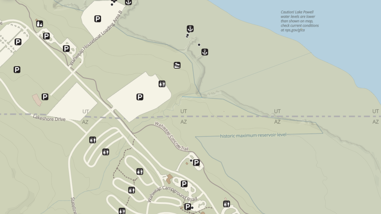
Custom maps
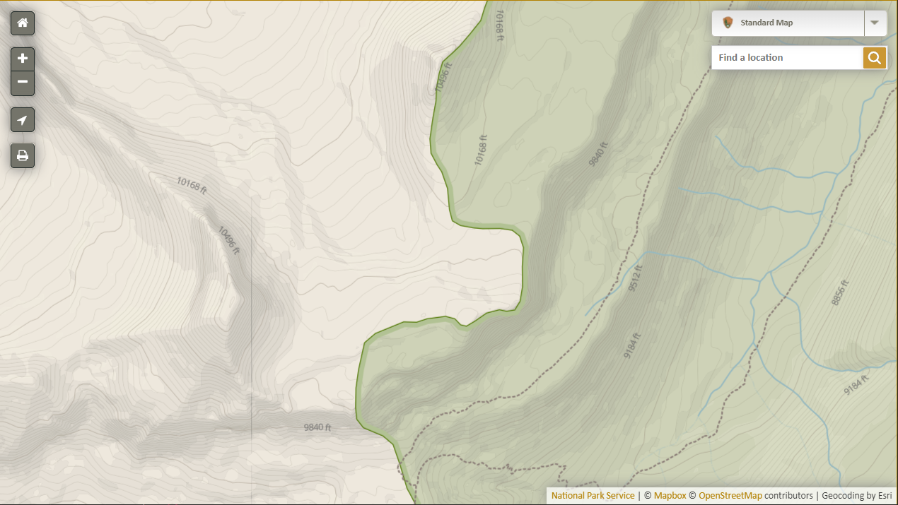
Four distinct basemap styles
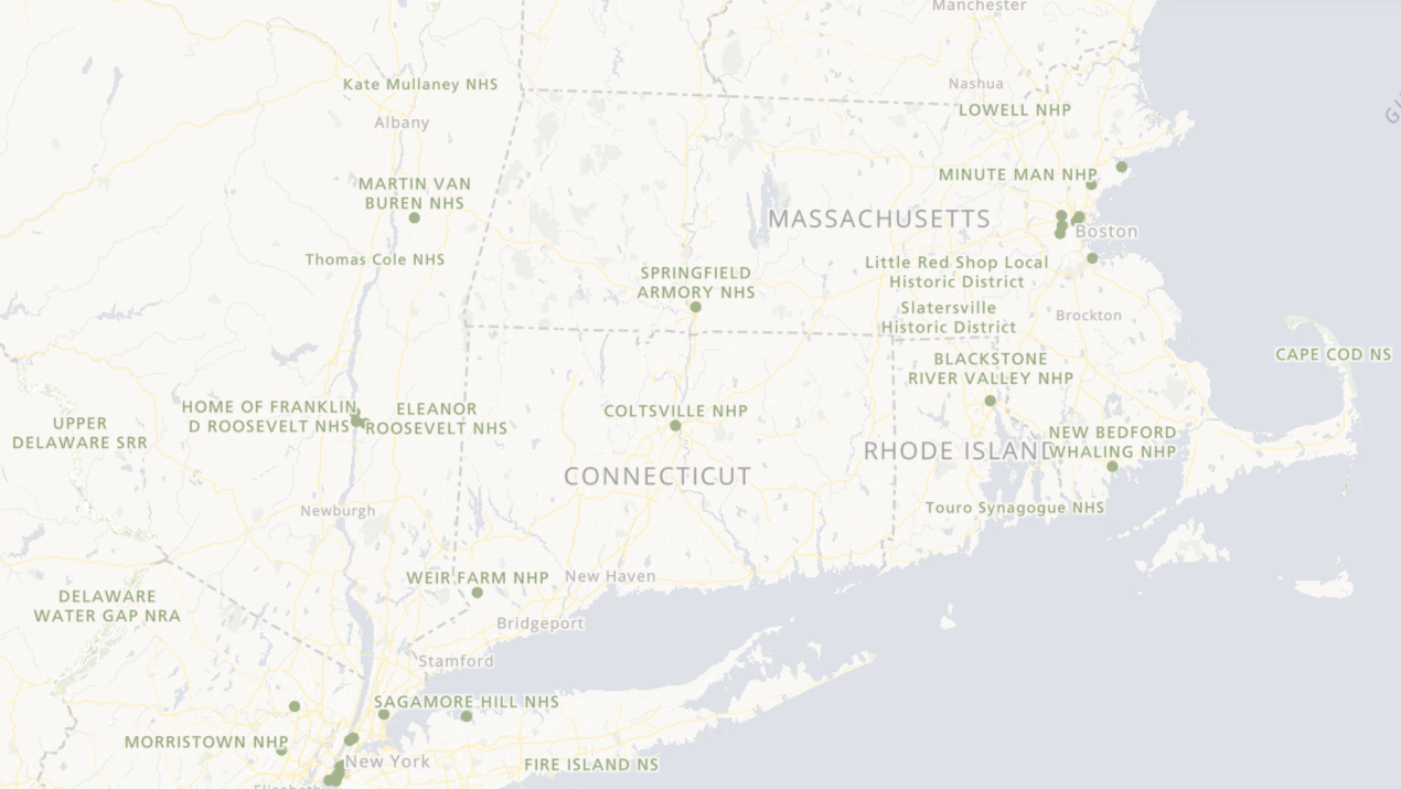
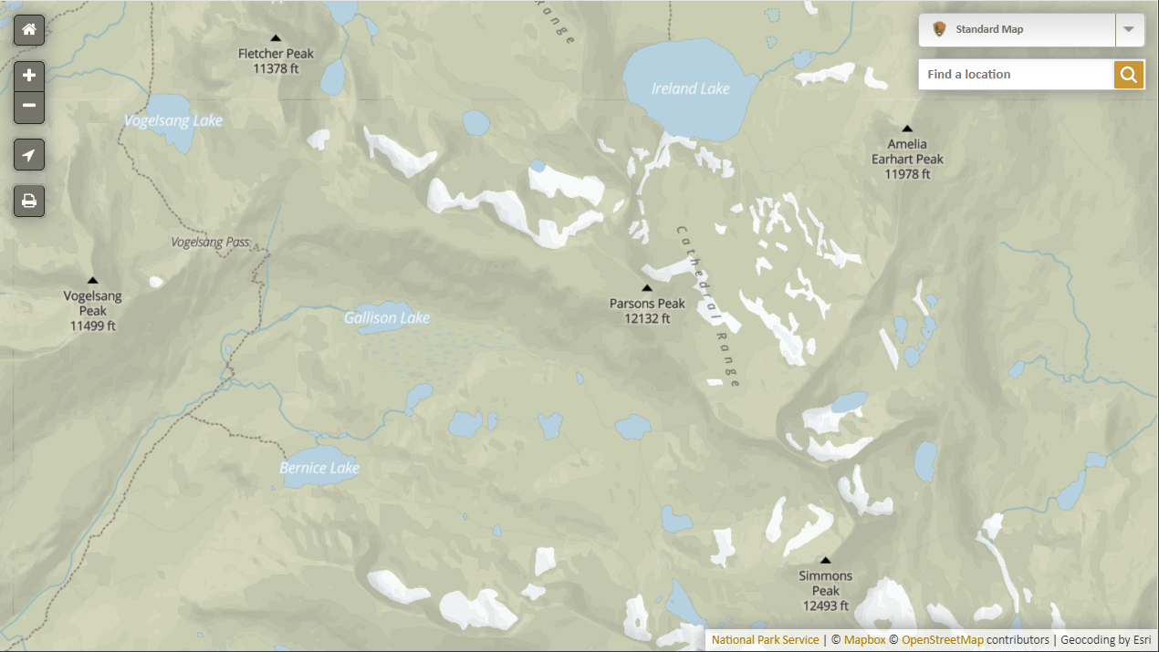
Park Tiles Standard
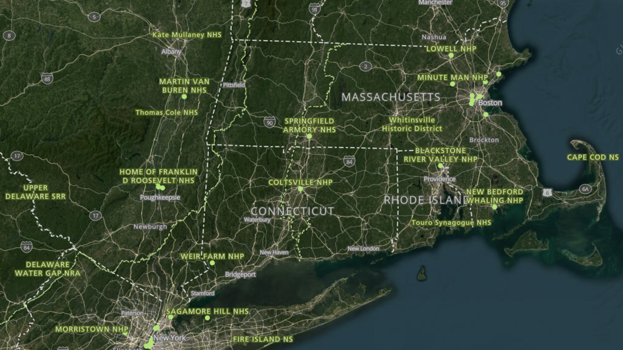
Park Tiles Aerial
Park Tiles Light
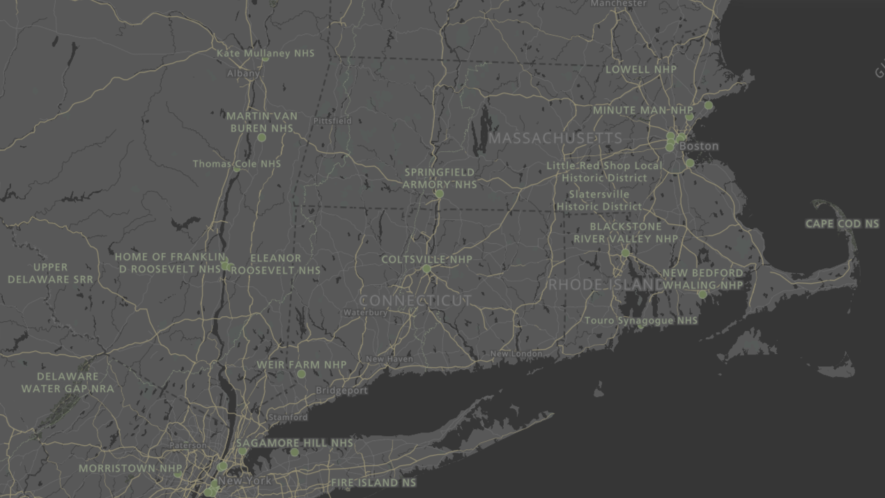
Park Tiles Slate
My role in Park Tiles
- Cartographic design/look and feel for our maps, including color-blindness testing and accessibility considerations
- Coordinate with GIS data stewards across the NPS to provide us with the standardized enterprise datasets we need
- Compile, process, and digitize data where needed
- Gather feedback and resolve data and cartography-related help desk tickets
Jim's role in Park Tiles
- Primary architect behind the database
- Maintains cron tasks and vector tile processing
As a team, we set the direction for the ongoing maintenance of Park Tiles as well as develop strategy for future improvements
part one continues:
Going deeper into
Park Tiles data
at its core:
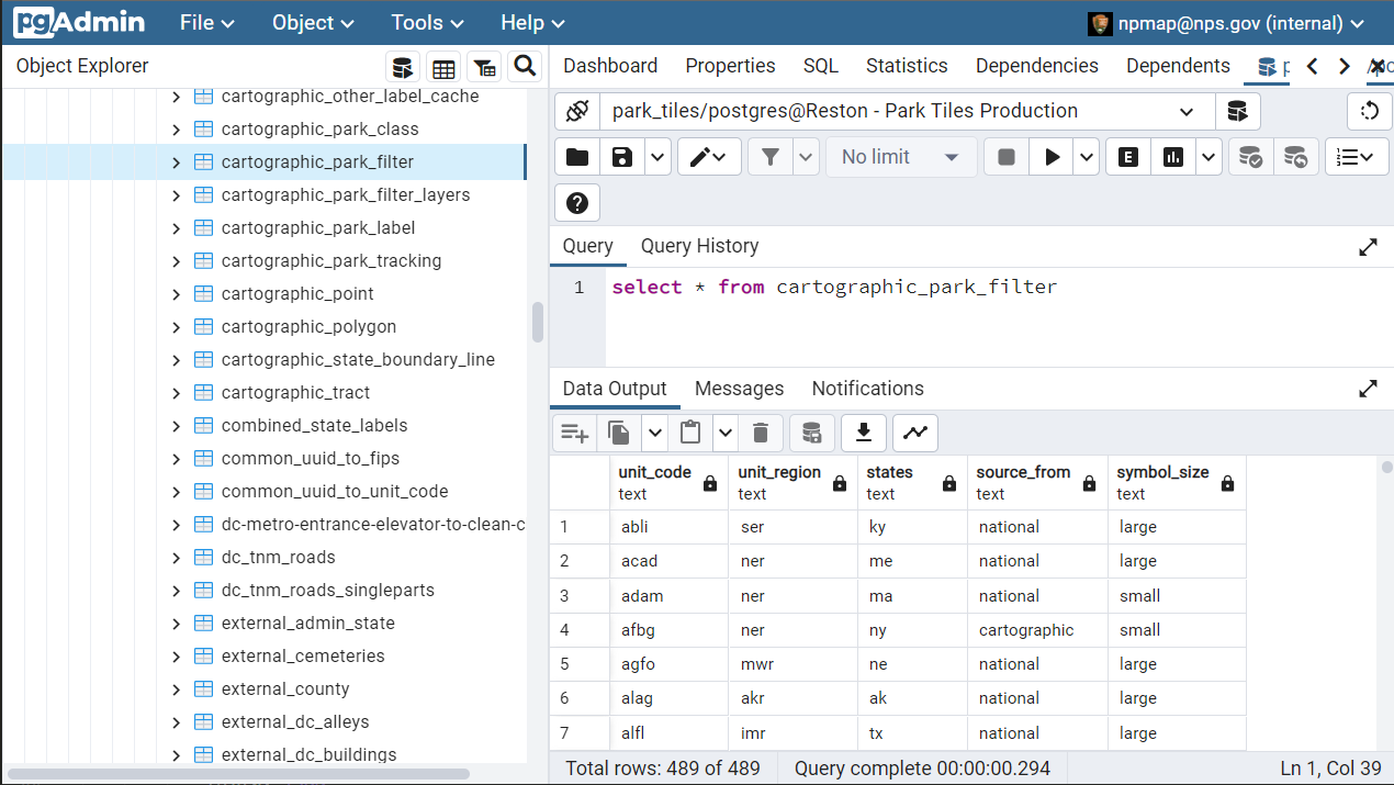
PostGIS-enabled Postgresql database
Let's look at
NPS data
other federal data
OSM data via Mapbox Atlas
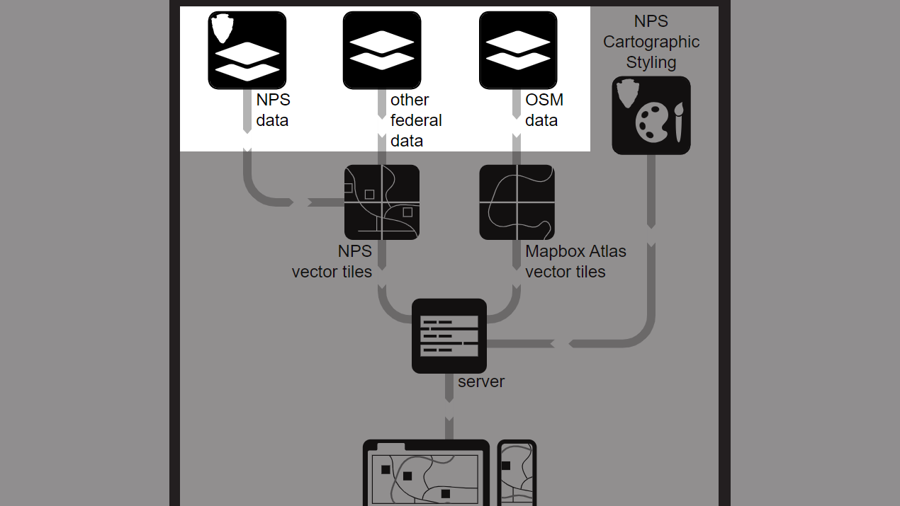
NPS data
found within park boundaries
Preferred source: enterprise GIS data for
- Buildings
- Parking areas
- Points of interest
- Roads
- Trails
- Park Boundaries
NPS.gov Structured Data
When enterprise GIS datasets are
incomplete and/or in need of revision, we can supplement them with
- data the Park Tiles team maintains for cartographic purposes, or
- OSM data (except points of interest or park boundaries; we only source those from the NPS)
Other federal data
used in Park Tiles
National Hydrography Dataset (NHD)
Protected Areas Database of the United States (PADUS)
Geographic Names Information System (GNIS)
OpenStreetMap (OSM) data via Mapbox
contextual data
outside park boundaries for
- Buildings
- Hydrography
- Labels
- Parking areas
- Roads
- Trails
- and others
Mapbox terrain data
inside and outside park boundaries
- Contour labels
- Contour lines
- Hillshading
part one concludes:
the future — Park Tiles 5
challenges with
Park Tiles 4
duplicate data
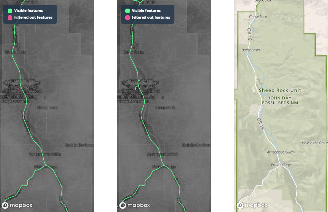
data mismatches at park boundaries
also
infrequent OSM update schedule
strictly GUI-based style editing
Park Tiles 5
Data stack
- contextual roads, trails, buildings, et al from The National Map (TNM) from the USGS
- terrain (vector hillshade and elevation contours in feet) from the USGS
- NHD data throughout the US
Park Tiles 5
Cartography
- Maputnik or similar open-source style editor
- text-based and script-based workflows to complement GUI-based work
Park Tiles 5
Data hosting
- to be determined; we are seeking cost savings and performance improvements scaled to our needs