


Rankin Ridge Tower Prescribed Fire
Size: 1231 acres
Date(s): October 25, 2005
Primary Goals
1. 70-90% mortality in ponderosa pine seedlings
2. 40-60% mortality in pole-sized ponderosa pine
3. 20-40% mortality in overstory ponderosa pine
Prescribed Fire Monitoring Report
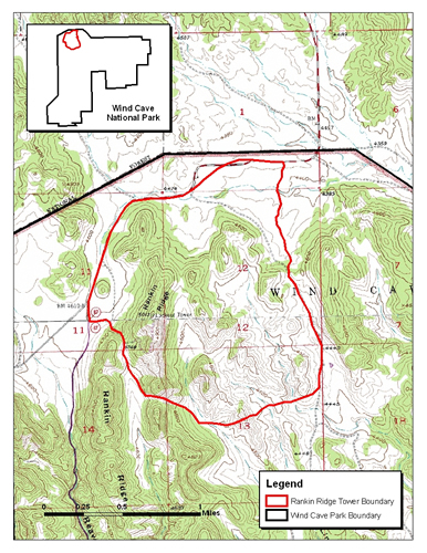
Location of Rankin Ridge Tower prescribed fire.
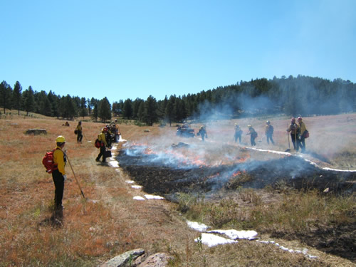
Blacklining along the northeast perimeter of the unit.
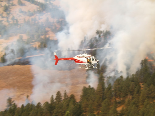
A helicopter was used for aerial ignition.
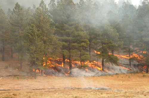
A surface fire burns in a ponderosa pine stand.
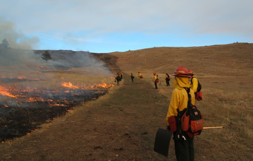
One of the ignition teams finishing up on the south perimeter.
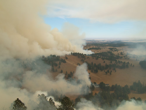
A view of the unit from the fire tower.
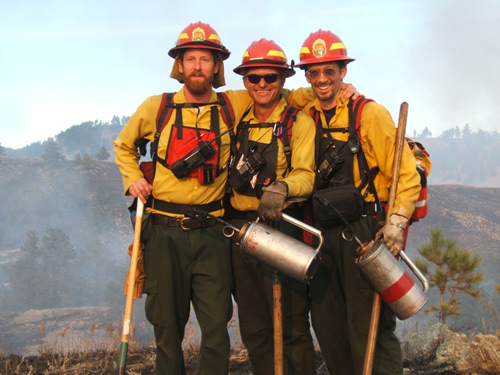
Three happy monitors at the end of the day.