Select Item below to DOWNLOAD - Once item is selected, right click and choose 'save as'
4cb751b9-0cac-4885-a440-7165b9691dae
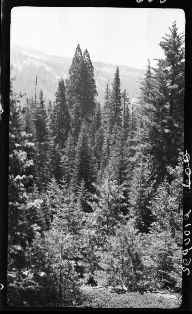
Mixed Conifer Forest Plant Community, 1/2 mile E of Atwell Mill. 6600' Type Map.
SEKI Historic Image
Mixed Conifer Forest Plant Community, 1/2 mile E of Atwell Mill. 6600' Type Map.
National Park Service
H.N. Marion, 360822, Mineral King Road, SNP, Mixed Conifer Forest Plant Community, 1/2 mile E of Atwell Mill. 6600' Type Map.
Permission must be secured from the individual copyright owners to reproduce any copyrighted materials contained within this website. Digital assets without any copyright restrictions are public domain.
Public domain
Image
Mineral King Road, Tulare County, California
08/22/1936
option 1
Public Can View
Tuesday, January 10, 2017 1:04:49 PM
Tuesday, January 10, 2017 1:04:49 PM
08142.tif
Monday, January 1, 0001 12:00:00 AM
tif
15.6 MB
Scenic
,
Historic