![]()

Cover Page
MENU
![]() Tule Lake
Tule Lake
|
| |
Confinement and Ethnicity: An Overview of World War II Japanese American Relocation Sites by J. Burton, M. Farrell, F. Lord, and R. Lord |

|
|
| |
Chapter 13 (continued)
Tule Lake Relocation Center
There were two farm areas, Farm Area 1 southwest and north of the central area, and Farm Area 2 three miles west of the central area (Figures 13.20-13.24). After segregation each farm was surrounded by a warning fence, a security fence, and 16 watch towers. Farm Area 1, nearest the central area, also had five searchlights. A WRA blueprint notes that large boulders at the base of an adjacent bluff were removed, probably to eliminate cover for possible escapes. A watch tower shown as on WRA blueprints on the Peninsula overlooking Farm Area 1 and the central area was likely a CCC-built fire lookout. After the disturbance in the Fall of 1943, eight of the watch towers at Farm Area 2 were moved to the central area. Five were placed along the fence constructed between the evacuee barracks and the administration area, and three were placed at the stockade.

Figure 13.20. Outlying farm areas at Tule Lake.
(National Archives)
(click image for larger size (~104K) )
In 1942, 450 evacuee laborers farmed 837 acres of barley, 570 acres of potatoes, 208 acres of onions, 145 acres of carrots, 152 acres of rutabagas, and other vegetables. The next year, 813 acres in Farm Area 1 west of the relocation center were planted with oats, rye, barley, alfalfa, clover, and mixed vegetables, and 455 acres north of the central area were planted in oats, rye, and alfalfa. In Farm Area 2, over 2,300 acres were planted with barley, mixed vegetables, and potatoes (Tulean Dispatch 6/18/43).
To bring Farm Area 2 under cultivation the evacuees had to build a distribution and drainage system which included 13 miles of canals, 8.5 miles of drains, 180 timber gates and other structures, and two small drainage pumping plants (Hayden 1943). In 1945 the evacuees lined 2,920 feet of canal ("M" Canal) through the relocation center, and began construction of a timber bridge with concrete piers, but work was suspended due to lack of labor as evacuees were released (Bureau of Reclamation 1946).
Farm Area 1 also included a farm kitchen and the hog and chicken farms near the base of the Peninsula (Figures 13.25-13.27). At the chicken farm there were 20 coops, granaries, an office, and a processing plant. The hog farm had 26 hog pens, a slaughter house, a well, and a water tank. The farm kitchen was located across the road from the hog farm. Across the highway south of the central area were a horse corral, a coal unloading and storage area (Figure 13.28), water wells, and two water tanks.
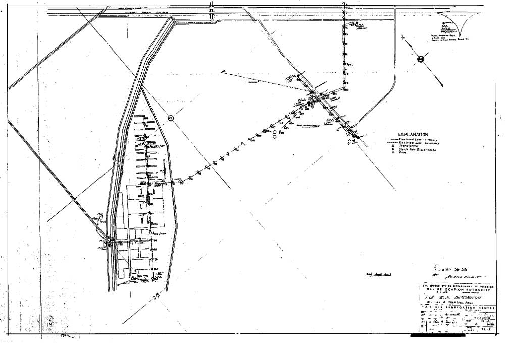
Figure 13.27. Hog and chicken farms at Tule Lake.
(National Archives)
(click image for larger size (~82K) )

Figure 13.28. Unloading coal at Tule Lake.
(Francis Stewart photograph, Bancroft Library, University of California, Berkeley)


 Top
Top
Last Modified: Fri, Sep 1 2000 07:08:48 pm PDT
http://www.cr.nps.gov/history/online_books/anthropology74/ce13e.htm
![]()