
|
Geological Survey Water-Supply Paper 1475-H
Availability of Additional Water for Chiricahua National Monument Cochise County, Arizona |
INTRODUCTION
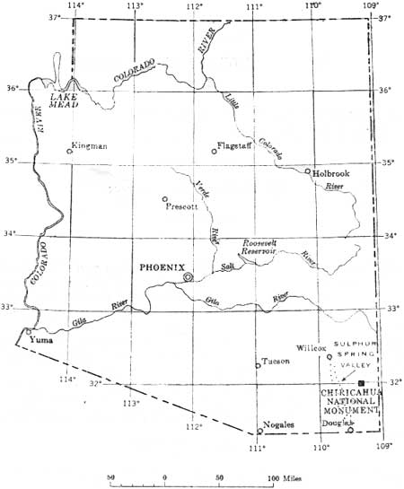
A hydrologic reconnaissance of the Chiricahua National Monument, Cochise County, Ariz. was made on behalf of the National Park Service by the U.S. Geological Survey (fig. 34) to determine if a permanent water supply can be developed to meet the present and anticipated demands. The water needed, as of 1959, to supply park personnel and 50,000 visitors per year was about 8 gpm (gallons per minute). It is estimated that a supply of about 12 gpm should be adequate for public and administrative facilities now being constructed.
|
| FIGURE 34.—Map of Arizona showing the Chiricahua National Monument. |
The present source of water is Shake Spring (pl. 17), whose flow fluctuates widely with the seasons. The spring flow was too low to meet water requirements during the unusually dry winter and spring seasons of 1958-59.
This report summarizes available data regarding the water supply of the central part of the Chiricahua National Monument. It is based on fieldwork done during June 1959, published reports, and information in the files of the Geological Survey and the National Park Service.
The central part of the monument area lies at altitudes ranging from about 5,200 to 7,300 feet in the north end of the Chiricahua Mountains and is drained westward by two intermittent washes, one in Bonita Canyon and the other in Rhyolite Canyon (pl. 17).
The weather station at the monument headquarters is at an altitude of about 5,300 feet. The average annual precipitation recorded at this station for 1949-58 was 18.98 inches, ranging from 12.13 inches in 1953 to 26.16 inches in 1957. From January through June 1959, only about 2.06 inches was recorded, which was much less than the 10-year average of 5.83 inches for the same 6-month period.
| <<< Previous | <<< Contents >>> | Next >>> |
wsp/1475-H/intro.htm
Last Updated: 28-Jul-2007