.gif)

National Parks
Portfolio
MENU
![]() General Grant
General Grant
![]() Seqoia
Seqoia
| National Parks Portfolio |

|
Sequoia and General Grant
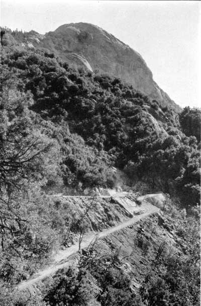
GENERALS' HIGHWAY EN ROUTE TO GIANT FOREST
Photograph by Lindley Eddy
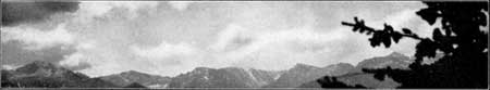
THE GREATER SEQUOIA
TO THE north and east of the original Sequoia National Park lay an area of extraordinarily scenic country. Just as the park was supreme in its forest luxuriance, so the outlying country was supreme in rock-sculptured canyon and snowy summit.
Part of this area was added to the park in 1926, increasing it to an area of six hundred and four square miles. Thus was acquired the Kern Canyon—a Yosemitelike valley thirty miles in length—the whole of the Upper Kaweah watershed with the River Valley and Kaweah Peaks, and Mount Whitney.
Sequoia Park now contains the largest trees, and outside of Alaska, the largest mountain in the United States. It also has the greatest range in altitude of any of our national parks—from one thousand three hundred feet at the park boundary near Ash Mountain headquarters to fourteen thousand four hundred and ninety-six feet at the summit of Mount Whitney.
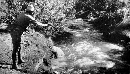
THE GOLDEN TROUT CREEK
The trout caught here are brilliantly golden.
Many lakes and streams in the park have been stocked from this
near-by stream
Photograph by H.C. Tibbitts
Continued >>>
 Top
Top
Last Modified: Mon, Oct 31, 2002 10:00:00 pm PDT
http://www.cr.nps.gov/history/online_books/portfolio/portfolio3g.htm
![]()