Last updated: October 8, 2022
Place
California Hill
Photo/NPS
Quick Facts
Location:
north side of U.S. 30, approximately 4.5 miles west of Brule, Nebraska
Significance:
Deep ruts, which are still plainly visible today, were created as the wagons were dragged up the hill
MANAGED BY:
Amenities
2 listed
Historical/Interpretive Information/Exhibits, Trailhead
A map of Passport and Places to Go locations for National Historic Trails.
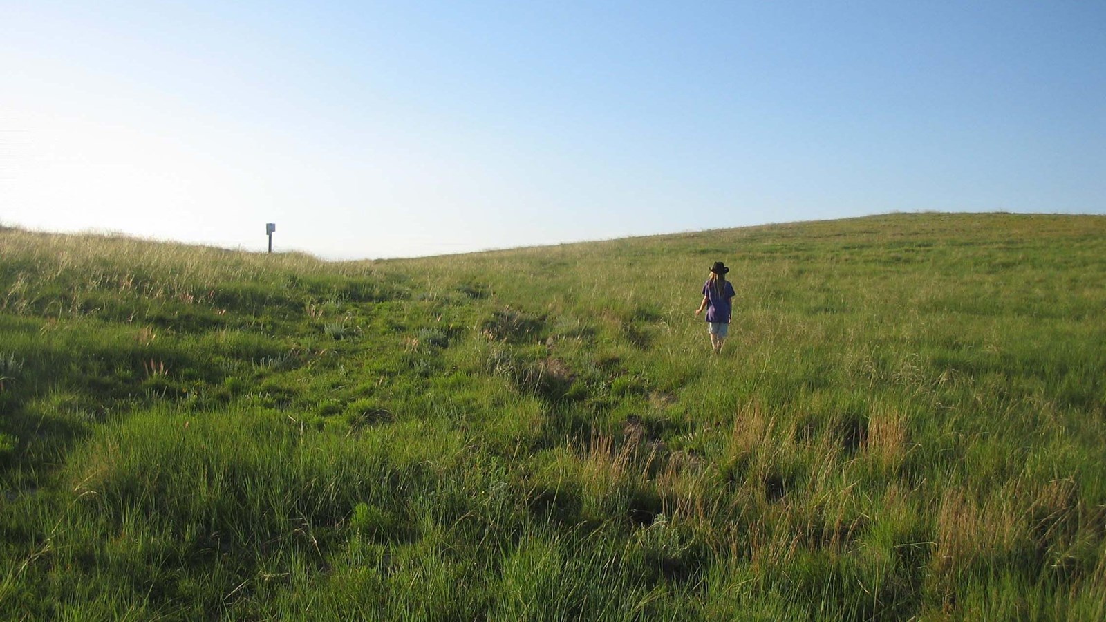
California Hill reveals the difficult decisions emigrants had to make when choosing their route to Oregon. Near North Platte, Nebraska, the Platte River splits into two major forks, with the South Platte running towards Denver and the North Platte heading northwest towards Fort Laramie. Emigrants knew that at some point they had to cross the South Platte and start following the North Platte. Several crossing sites were used, but the Upper Crossing was the most important because it led to the best approach to the North Platte. However, this meant traveling over California Hill, which necessitated a steep climb of 240 feet in 1½ miles. Deep ruts, which are still plainly visible today, were created as the wagons were dragged up the hill. Feel free to hike the ruts and enjoy the panoramic views.
Site Information
Location (north side of U.S. 30, approximately 4.5 miles west of Brule, Nebraska)
California Hill and the marker were gifts to the Oregon-California Trails Association by Malcolm E. Smith, Jr. in memory of Irene D. Paden who dedicated much of her life to retracing and writing about the Oregon and California Trails. The acquisition was facilitated by the generous cooperation of Ivor D. and Carol A. Dilky, the Farmers Home Administration and the Adams Bank and Trust.