Last updated: January 25, 2021
Place
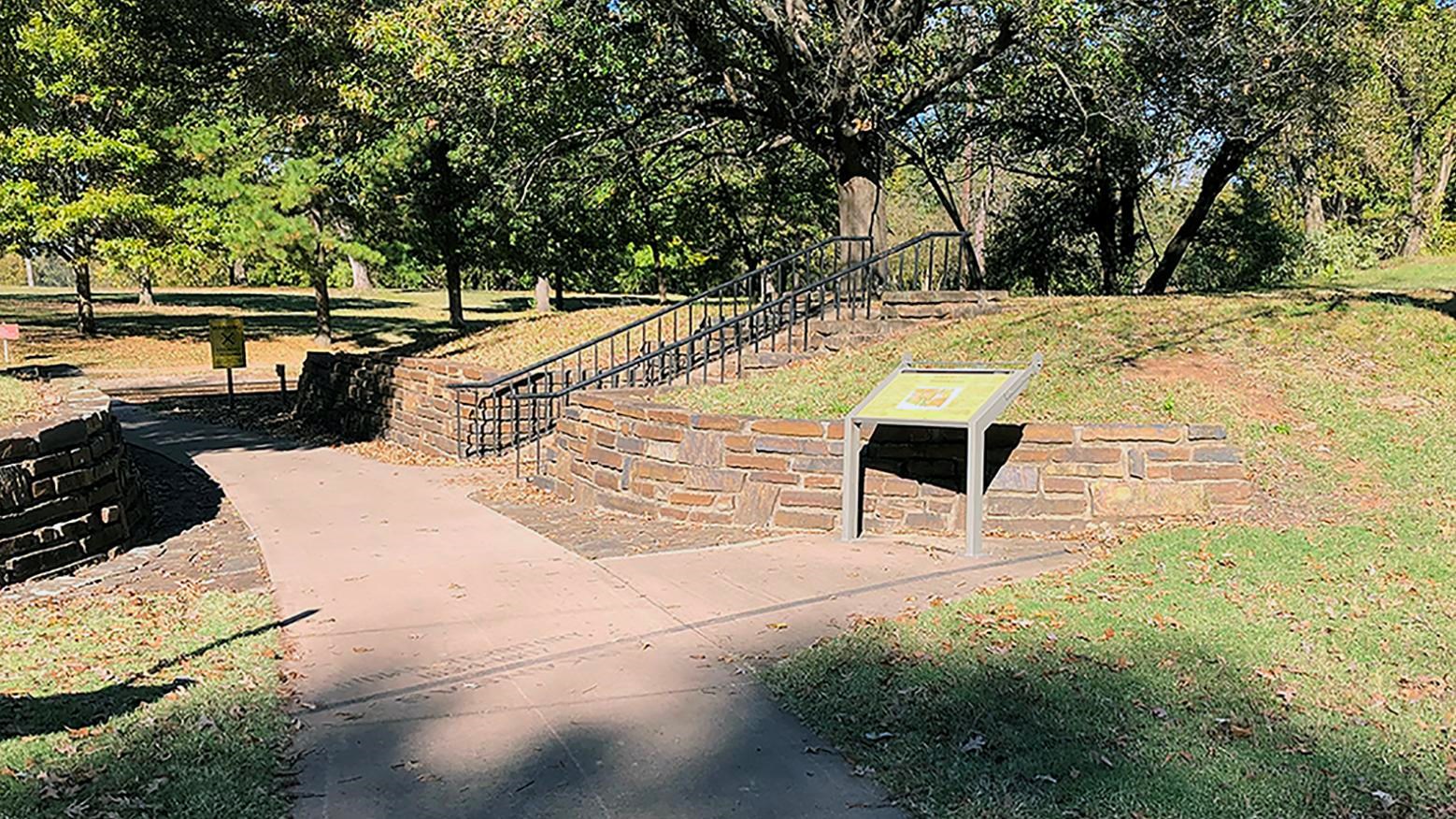
Edge of Indian Territory
NPS/Pat Schmidt
Quick Facts
Location:
Next to railroad tracks
Amenities
2 listed
Historical/Interpretive Information/Exhibits, Wheelchair Accessible
If you stood here in 1825, on your right would have been Arkansas Territory, and on your left, a vast domain traded to the Choctaw Nation for their ancestral lands in the east.
The Choctaw Treaty of 1825 placed the Indian Territory's Boundary "one hundred paces east of Fort Smith, and running thence, due south, to the Red River." When government surveyors inspected the eastern boundary in 1857, they discovered the original 1825 survey had not run "due south," but slightly southwest. After lengthy deliberation, Federal court officials decided to keep the 1825 boundary and pay the Choctaw Nation $68,102 for the land between the two survey lines.
Success
Thank you. Your feedback has been received.
Error
alert message
