Last updated: July 10, 2023
Place
Middle Fork Trailhead
NPS/Cate Blanch
Quick Facts
Location:
Middle Fork Trail Road, off Buckeye Flat Campground Road
Significance:
Trail
Amenities
7 listed
Audio Description, Benches/Seating, Parking - Auto, Picnic Table, Scenic View/Photo Spot, Trailhead, Trash/Litter Receptacles
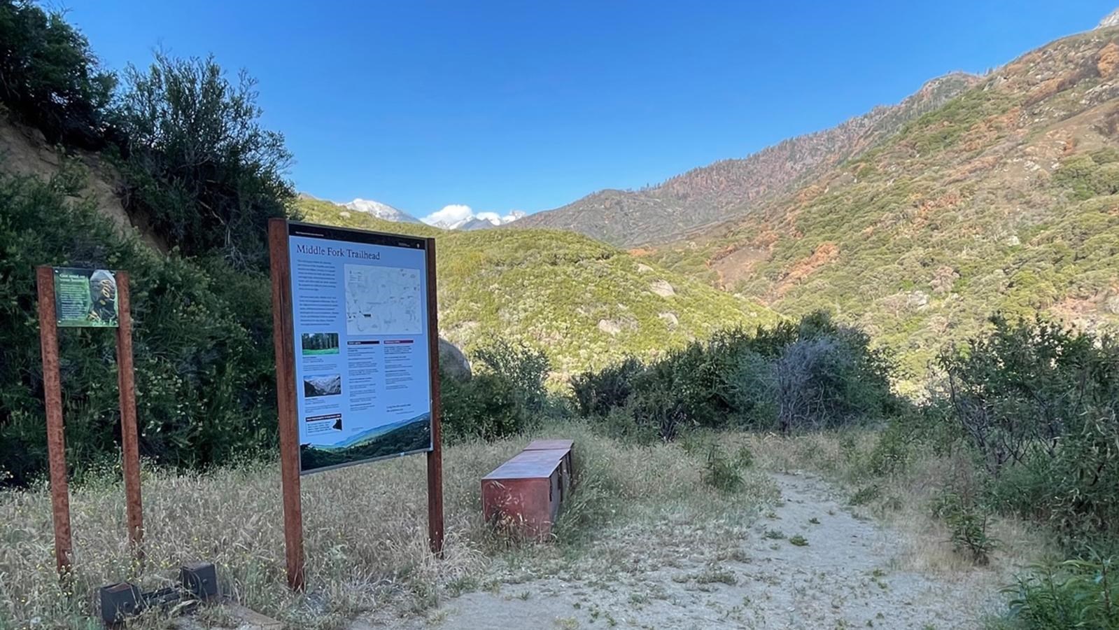
This trailhead orientation panel shows a map and photos of the Middle Fork area.
In fall 2021, the KNP Complex Wildfire burned much of the surrounding area. While wilderness permits are available for this area, if you enter here, nearby exit points may be closed due to extensive damage during 2023 winter storms, including but not limited to trailheads exiting in the Mineral King and Cedar Grove area. Please be sure you exit the wilderness in an open area. Consult the closed area map for more details. If you start a wilderness trip here, please obtain a wilderness permit at the Foothills Visitor Center.
Directions
To access this trailhead, follow the Generals Highway. Directly across from the Hospital Rock Picnic Area, turn onto the Buckeye Flat Campground Road. From here, you will encounter a dirt road on the left—turn here to follow the narrow, often-times single lane Middle Fork Access Road to the trailhead. Parking is extermely limited here (~8 vehicles).
This road is closed during rainy weather, and during the winter season (late September to early April). During this time of year, park at the Hospital Rock Picnic Area and walk in.