Last updated: October 30, 2023
Place
Ostrander Lake Trailhead
Quick Facts
Amenities
5 listed
Animal-Safe Food Storage, Recycling, Restroom, Trailhead, Trash/Litter Receptacles
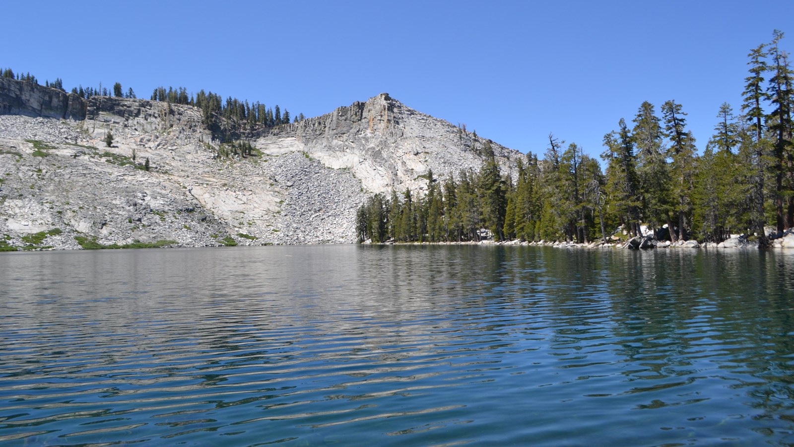
Retreat to nature and encounter the beauty and radiance of this glimmering lake.
The first half of this hike gently inclines through forest and meadow where you can observe severe scars and regrowth from a 1987 lodgepole pine forest fire. A steep 1,500 foot (450 m) elevation gain opens up to views of granite domes, Mt. Starr King, and the Clark Range just prior to arriving at Ostrander Lake.
Ostrander Lake (strenuous)
-
11.4 miles (20 km) round-trip; 8-10 hours,
-
1,500 ft (450 m) elevation gain
Hours
The trail is only accessible when the Glacier Point Road is open, approximately late May through October or November.
When Badger Pass Ski Area is open (mid to late December through March), the Glacier Point Road is groomed for cross-country skiing beyond the ski area. See website for more information.
Getting Here
Begin at Ostrander Lake Trailhead, located along the Glacier Point Road.
Rules & Regulations
The Glacier Point Road closes after the first significant snowfall. Overnight parking is prohibited beginning October 15. For current road and weather information, call: 209/372-0200.
Hazards & Warnings
-
Carry (and drink) plenty of water: a leading cause of injuries on the trail is dehydration. Be sure to treat stream or spring water.
-
Always carry a map and compass, and know how to use them, and wear sturdy footwear with good traction.
-
Be prepared for sudden changes in weather and conditions.
Accessibility
This trail is not accessible.