Last updated: November 25, 2024
Place
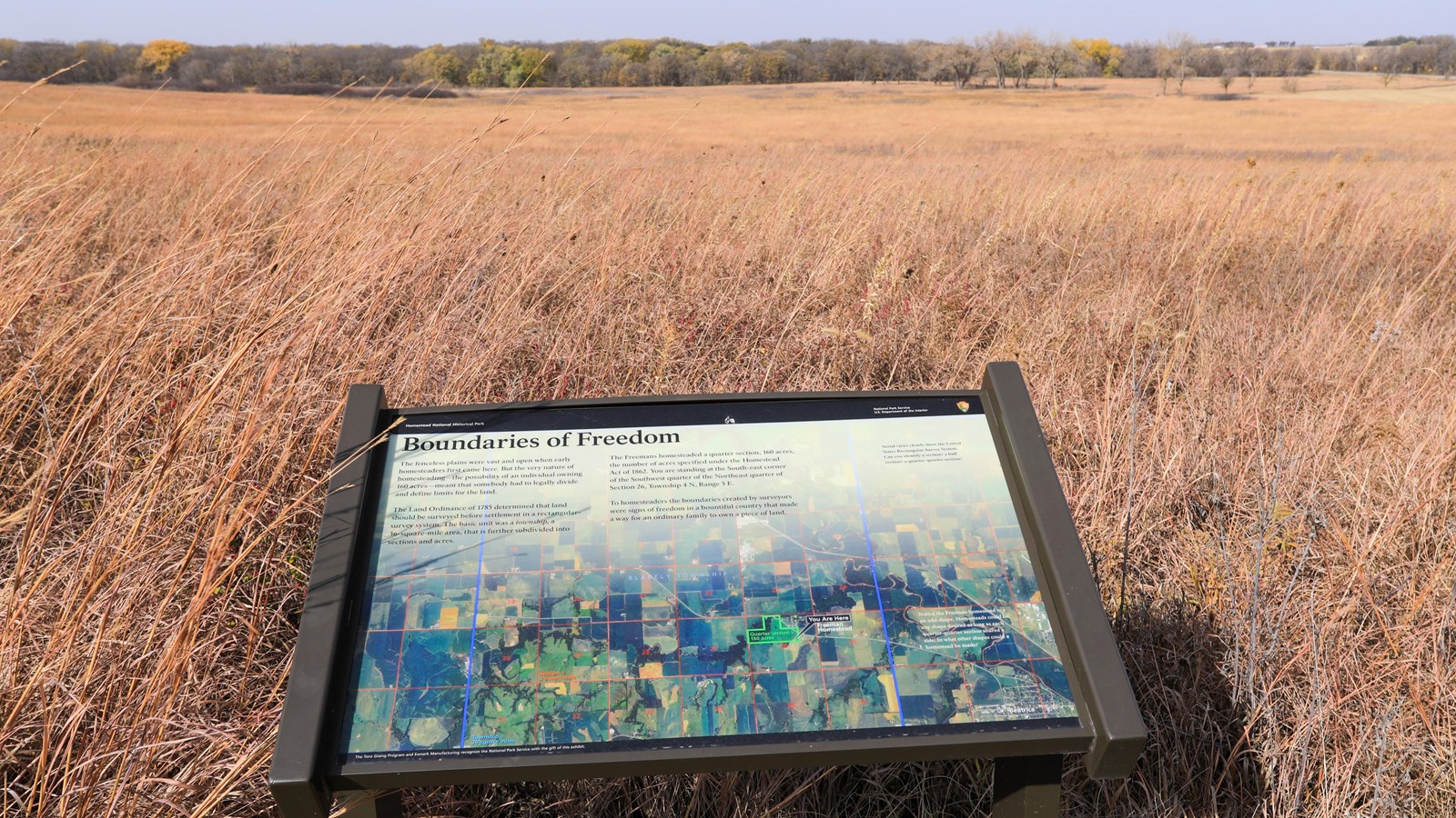
Boundaries of Freedom, wayside exhibit
NPS/Robert Hartwig
Quick Facts
Location:
Homestead National Historical Park
Designation:
wayside exhibit
Amenities
2 listed
Historical/Interpretive Information/Exhibits, Information
How would you have found your homestead claim land without a precise map or GPS unit?
Following the Land Ordinance of 1785, land was surveyed before settlement in a rectangular-survey system. The basic unit was a township, a 36-square-mile area, that is further subdivided into sections and acres.
Do you think mapping confusions could have led to land disputes? What other difficulties might have occured?