Last updated: August 3, 2023
Place
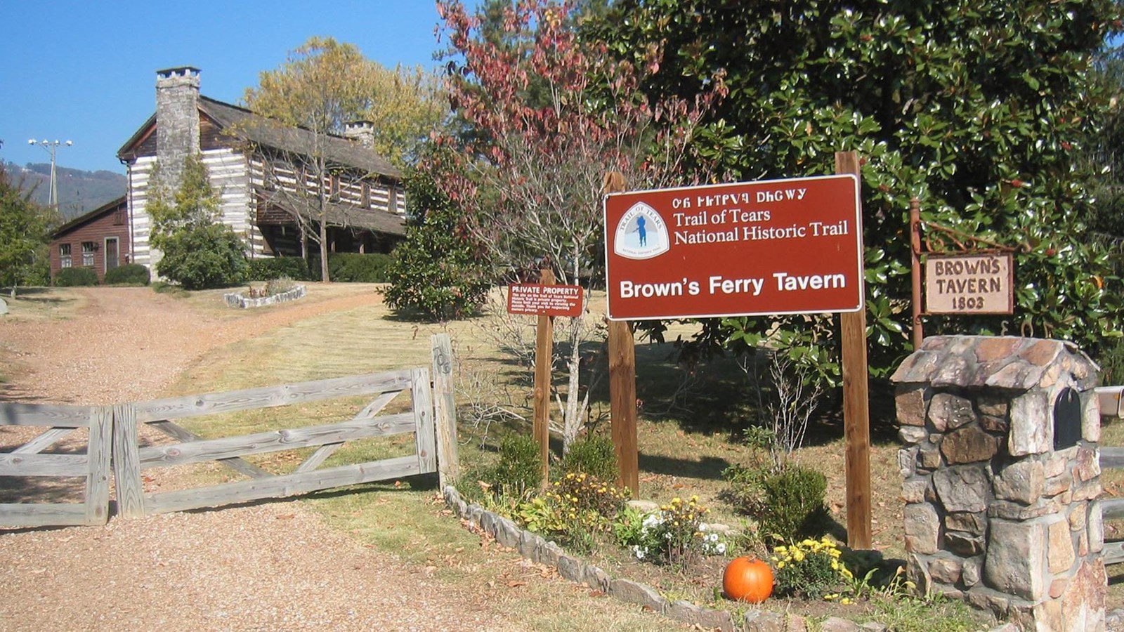
Browns Ferry Tavern, Chattanooga
NPS Photo
Quick Facts
Location:
703 Browns Ferry Road, Chattanooga
Significance:
The road running past this structure was the route by which several Cherokee detachments were removed to present-day Oklahoma.
Designation:
Certified Site
OPEN TO PUBLIC:
No
MANAGED BY:
This is a private residence; it is primarily important because of its history and its extant exterior architectural features. It is not open to general public visitation.
Cherokee leader John Brown, who owned 640 acres in this area, ordered the construction of Browns Ferry Tavern in 1803. By the 1830s, Brown's land formed the boundary of the Cherokee Nation. In 1838, the road running past this structure was the route by which two Cherokee detachments were removed to present-day Oklahoma.
The site of Brown's Ferry is located downslope from the tavern, along the Tennessee River one-fifth mile away. This site is also on private property and is closed to the public. However, the opposite side of this ferry landing can be reached via a publicly accessible trail, located just north of Moccasin Bend Golf Course, at Moccasin Bend National Archeological District.
A National Park Service sign is at the property, plus a Tennessee Historical Commission marker 3.3 miles south at the corner of Cummings Highway (US 11), Browns Ferry Road, and Kelly's Ferry Road.
Site Information
Location (703 Browns Ferry Road, Chattanooga. From downtown Chattanooga, drive south on US 27, then go west on Interstate 24 to Browns Ferry Road (exit 175). Turn north on Browns Ferry Road and drive northeast 1.5 miles to the property.)
This is a private residence; it is primarily important because of its history and its extant exterior architectural features. It is not open to general public visitation.