Last updated: March 22, 2021
Place
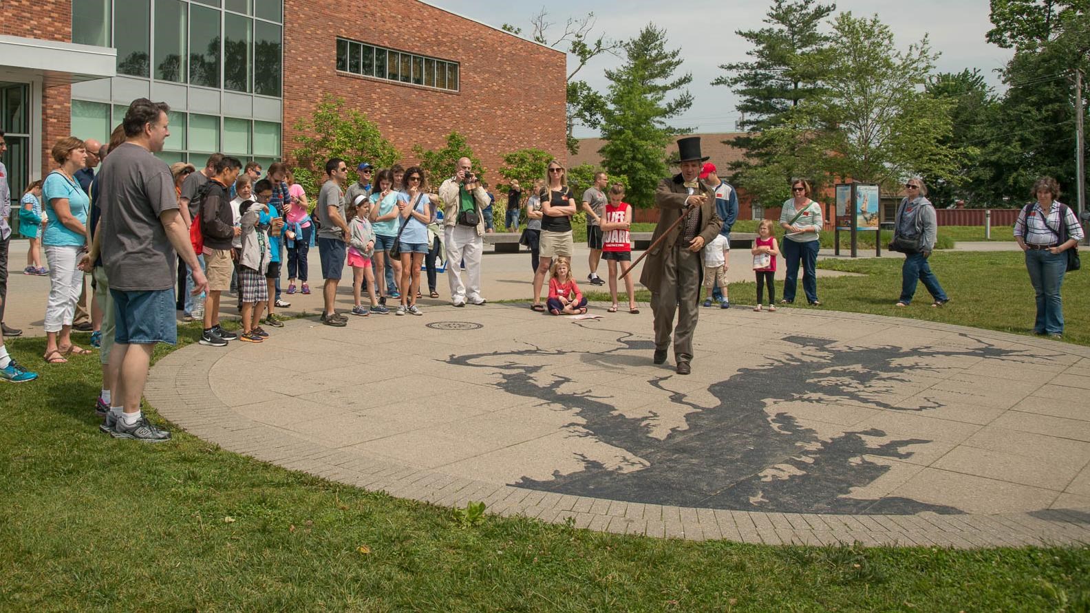
Chesapeake Map
NPS/Tim Ervin
Quick Facts
Location:
Baltimore, MD
Amenities
9 listed
Accessible Sites, Benches/Seating, Cellular Signal, Information, Large Print, Scenic View/Photo Spot, Tactile Exhibit, Trailhead, Wheelchair Accessible
This concrete map outside the rear entrance of the park Visitor Center orients visitors to the Chesapeake Bay region of Maryland and Virginia. The map points out not only the Chesapeake Bay, but also important towns and cities relevant to the War of 1812 story of the 1813 and 1814 Chesapeake Campaigns. The campaigns that happened in the region depicted by the map ultimately led to the Battle of Baltimore and the Bombardment of Fort McHenry, inspiring the Star-Spangled Banner.
Visitors should feel welcome to refer back to the map on the ground here when learning about the history of these campaigns. The map also serves as a meeting spot for many ranger led programs. From the location of the map, visitors can easily access the Seawall trail.