Last updated: October 10, 2024
Place
Deer Creek Trailhead
NPS Photo
Quick Facts
Location:
5 miles south of Cayuse Pass on SR 123
Season: Summer (May – October)
The road to access Deer Creek/Owyhigh Lakes Trailhead, SR 123, closes in the winter from the north via SR 410 at Chinook Pass and to the south at the SR 123 entrance near Ohanapecosh.
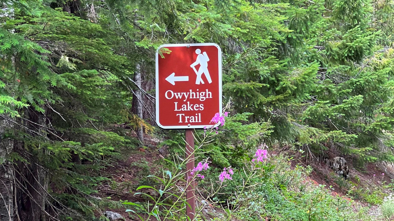
The Deer Creek/Owyhigh Lakes Trailhead is located 5 miles south of Cayuse Pass on SR 123 and connects to the Eastside Trail and Owyhigh Lakes Trail. The parking area is located 200 feet south of the trailhead on the east side of the road.
The Eastside Trail runs for 13.3 miles north to south from Chinook Pass to Ohanapecosh Campground, following Chinook Creek and the Ohanapecosh River. Look for the Owyhigh Lakes Trail sign and follow the trail downhill for 0.4 miles past Deer Creek Falls to connect with the Eastside Trail. From this junction it is 8.6 miles to Ohanapecosh Campground and 4.1 miles to Cayuse Pass. See a detailed map of trail mileage for the Eastside Trail.
The Owyhigh Lakes Trail heads northwest for 8.3 miles between this trailhead and the White River area trailhead on Sunrise Road. Owyhigh Lakes is 4.8 miles from the junction with the Eastside Trail.
There is a wilderness camp at Deer Creek. Be sure to camp in designated sites only. Wilderness permits are required for backcountry camping. Fires are prohibited. Pets are not allowed on trails at Mount Rainier National Park. This trailhead is not accessible by vehicles during the winter months.