Last updated: October 10, 2024
Place
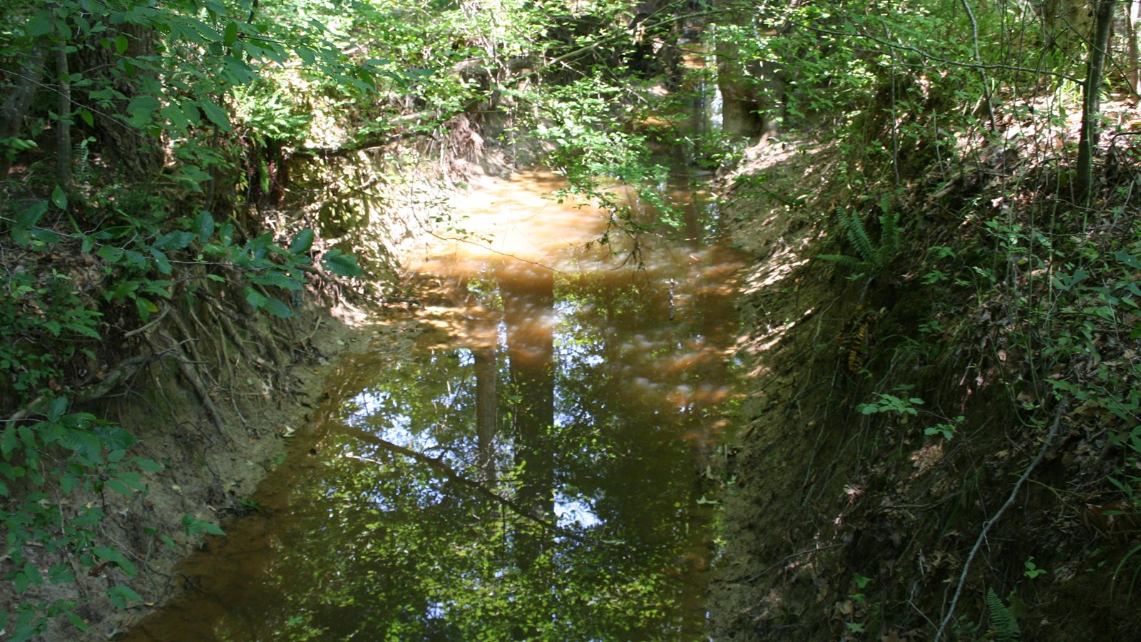
Donivan Slough, Milepost 283.3
NPS Photo
Quick Facts
Location:
Milepost 283.3 Natchez Trace Parkway
Significance:
A historic agriculture use of a natural drainage area.
Amenities
4 listed
Historical/Interpretive Information/Exhibits, Picnic Table, Scenic View/Photo Spot, Trailhead
Mississippi mud is a real thing. Planters have struggled with it for centuries. This area is a natural swampy depression called a slough (pronounced slue). It is adjacent to an agricultural field and helps to drain off excess water. It appears that the construction of a deeper trough (pronounced troff, even though it looks like slough), helped drain even more water from the fields, allowing farmers to avoid stuck horses, plows, or tractors. Donivan Slough Nature Trail provides an up-close view of a functioning slough that still drains water from the soggy fields next to the trail.
The nature trail takes you on a 1600-foot easy walk through a hardwood forest. There is a stairway from the parking lot to the slough trail. Dogs on leash are allowed on the trail. Insect repellent is always advised during the warmer months. The plant life is representative of water loving flora.