Last updated: July 21, 2025
Place
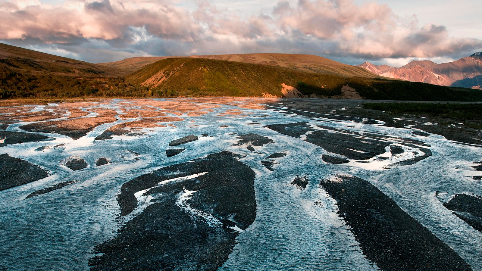
East Fork River
NPS Photo / Tim Rains
Quick Facts
Location:
Mile 43, Denali Park Road
Amenities
3 listed
Restroom - Accessible, Restroom - Seasonal, Scenic View/Photo Spot
The Denali Park Road crosses a bridge over the East Fork River at Mile 43. While the Polychrome Plan is underway to build a bridge over the Pretty Rocks Landslide, this location is the end of the road for all traffic on the park road. Transit buses turn around here and return to the park entrance.
Toilets are available in the summer when buses are operating. There are no trash cans available, so bring a bag to pack out your own trash. Rangers are frequently present in this area during the busiest hours of the day to answer questions.
There are no formal trails here, but you can walk back east on the park road or explore off-trail along the gravel bars of the East Fork River. If you choose to walk on the road, watch out for traffic, including buses and construction vehicles. To prepare for an off-trail adventure, read more about off-trail hiking in Denali to know what to expect.
Visitors who are beginning longer backcountry trips from the East Fork area may detour around the landslide to reach areas on the park road further west by traveling off road for approximately five miles along the south side of Polychrome Mountain. Speak to a backcountry ranger about your intended route when getting a permit (required for overnight trips).