Last updated: November 28, 2023
Place
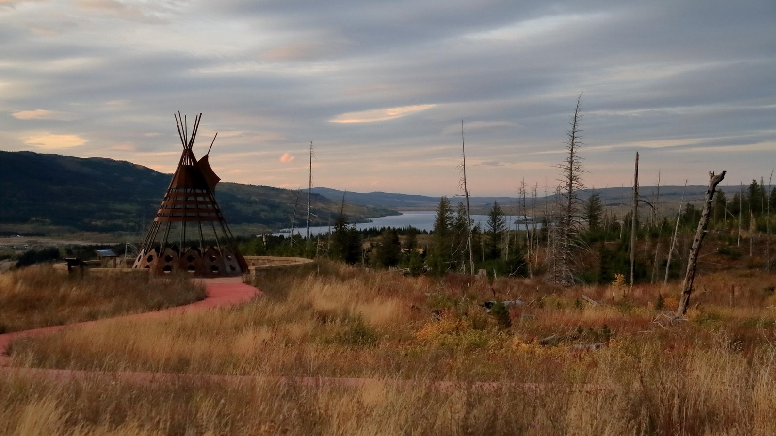
Fight Site (called the “Murder Site” or “Kill Site” by the Blackfeet Nation)
Shutterbug Fotos, Flickr
Quick Facts
Location:
Today, the Two Medicine Fight Site is still in the Blackfeet Indian territory on the Blackfeet Indian Reservation. To access the site, permission is required.
Significance:
Meriwether Lewis and other expedition members killed two Blackfeet teenagers at this site in July 1806.
Designation:
Lewis and Clark National Historic Trail, National Register of Historic Places
OPEN TO PUBLIC:
No
“You ask them how many people died, inside the Corps of Discovery, many of them say one, one at the very beginning of the Missouri River. But actually, there’s three—two Blackfeet were killed by the Corps of Discovery. And the Blackfeet people talk about that. They have their own stories. . . . we want those not from the Tribes to hear those stories, hear those untold stories, the stories that many people don’t know about, because the Tribes have been passing these stories along for generations upon generations that they will not be forgotten.”
—Otis Halfmoon, Nez Perce, ca. 2006
In July 1806, Meriwether Lewis, George Drouillard, Reuben Field, and Joseph Field were on a side trip and ran into several Blackfeet teenagers.
Drouillard was fluent in the sign language that was common among Indigenous communities and non-Native traders across North America, and he communicated with the boys. Their conversation did not go entirely smoothly, but well enough, and everyone parted ways for the night.
Early in the morning, when it was still dark out, the visitors awoke to the Blackfeet teenagers attempting to take their guns and horses. Alarmed, the White visitors stabbed one of the teenagers and shot another, killing these two boys.
This painful episode has been recounted many times by historians because of how Lewis and Clark became central to American stories. Craig Falcon, a Blackfeet tribal member, elaborated during a talk he gave in 2006:
This isn’t documented in our history very well because it wasn’t a significant part of our history because these were like any other people passing through. We didn’t know two hundred years later we would be standing here knowing Lewis and Clark became famous.
These children died because of cultural misunderstandings. Blackfeet people were likely wary of these visitors, who had befriended Nez Perce, Shoshone, and Flathead individuals—all of whom Blackfeet communities often were at odds against.
Following this violence, Blackfeet people experienced decades of violence in American colonization efforts.
About this article: This article is part of a series called “Pivotal Places: Stories from the Lewis and Clark National Historic Trail.”
Lewis and Clark NHT Visitor Centers and Museums
This map shows a range of features associated with the Lewis and Clark National Historic Trail, which commemorates the 1803-1806 Lewis and Clark Expedition. The trail spans a large portion of the North American continent, from the Ohio River in Pittsburgh, Pennsylvania, to the mouth of the Columbia River in Oregon and Washington. The trail is comprised of the historic route of the Lewis and Clark Expedition, an auto tour route, high potential historic sites (shown in black), visitor centers (shown in orange), and pivotal places (shown in green). These features can be selected on the map to reveal additional information. Also shown is a base map displaying state boundaries, cities, rivers, and highways. The map conveys how a significant area of the North American continent was traversed by the Lewis and Clark Expedition and indicates the many places where visitors can learn about their journey and experience the landscape through which they traveled.