Last updated: January 11, 2025
Place
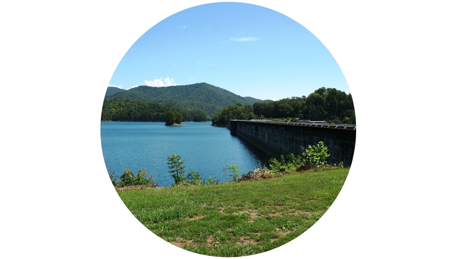
Fontana Dam
NPS Photo
Quick Facts
Significance:
Point of Interest in Southwest Area of the Smokies
Amenities
1 listed
Scenic View/Photo Spot
Overview
Fontana Dam impounds the Little Tennessee River to form Fontana Lake—a reservoir spreading more than 10,000 acres that offers boating, fishing, and access to remote areas on the southwestern side of Great Smoky Mountains National Park including Hazel Creek and Eagle Creek.
Construction of the hydroelectric dam was completed in 1945 as one of several Tennessee Valley Authority (TVA) projects in the area developed to provide power and flood control, and it remains the tallest concrete dam east of the Mississippi River at 480 feet (146 m).
TVA operates the Fontana Dam Visitor Center located just off NC 28 near the Tennessee-North Carolina state line daily from May through October. Parking is available both on top and below the dam. The Appalachian Trail crosses the top of the dam before entering Great Smoky Mountains National Park.
How to Get There
- Follow US 74 West from Bryson City. Turn right at the State Highway 28 turnoff. Follow State Highway 28 until a turnoff on the right for Fontana Dam.
- From Maryville, follow US 129 South. Turn left at State Highway 28. Go approximately 10 miles (16 km) to a turnoff on the left for Fontana Dam.