Last updated: January 13, 2023
Place
Fort Craig Historic Site (Bureau of Land Management)
NPS Photo
Quick Facts
Location:
35 miles south of Socorro, New Mexico
Significance:
In 1854 the US Army established Fort Craig (on a bluff west of the Rio Grande) to protect El Camino Real de Tierra Adentro (located east of the Rio Grande).
Designation:
BLM Historic Site; certified site
MANAGED BY:
Amenities
1 listed
Historical/Interpretive Information/Exhibits
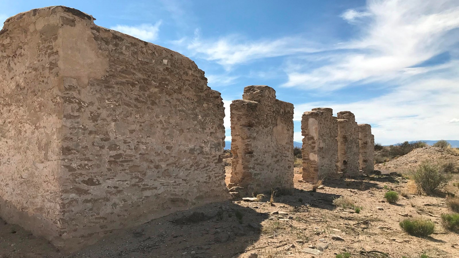
The gritty crunch of footsteps on gravel, a dull desert buzz and the gentle flap of an American flag inspire a visitor to imagine the ghostly Fort Craig as a fully occupied U.S. Army garrison on the middle Rio Grande route of El Camino Real de Tierra Adentro.
For a short time during the early months of 1862, nearly 4,000 troops lived, worked and socialized at the sprawling stone-and-adobe complex set against the rugged outlines of the San Mateo and Magdalena Mountains. Today, Fort Craig is a lonely desert outpost whose sun-bleached ruins stand like watchmen of the memory of the fort’s 30 years defending the New Mexico Territory and protecting wayfarers on El Camino Real, known then as the Chihuahua Trail.
Site Information
Location (35 miles south of Socorro, New Mexico)
Today, the Bureau of Land Management owns and operates Fort Craig as a year-round destination for hiking, photography, picnicking and self-guided tours. Like many stops on El Camino Real, the site is perhaps as much a vicarious experience as a physical experience, but that makes it no less engaging. The indistinct outlines and crumbling masses of the fort’s fallen buildings provide an artfully pleasing abstraction of the past while a flagpole replicating the fort’s original keeps the American flag flying high. Wandering through the empty fort, visitors are free to create their own vision of life in the middle of the Indian Wars, the Civil War or El Camino Real.
Fort Craig is located 35 miles south of Socorro, NM. The area has picnic facilities, interpretive signs, restrooms and drinking water. Interpretive signage is posted along a lengthy self-guided tour trail, though gravel may make wheelchair access difficult.
Safety Considerations