Last updated: November 28, 2023
Place
Lewis’s Return Trip, shot by Pierre Cruzatte
Knowsley, Gleanings from the menagerie and aviary at Knowsley Hall Knowsley, 1846
Quick Facts
Location:
4904 119th Rd NW, Epping, ND 58843
Significance:
Meriwether Lewis was shot somewhere near here by a member of his own party, Pierre Cruzatte.
Designation:
Lewis and Clark National Historic Trail
Amenities
22 listed
Amphitheater, Beach/Water Access, Benches/Seating, Boat Ramp, Dock/Pier, Electrical Hookup - Boat/RV, Historical/Interpretive Information/Exhibits, Information Kiosk/Bulletin Board, Parking - Auto, Parking - Boat Trailer, Parking - Bus/RV, Pets Allowed, Picnic Table, Playground, Primitive Campsites, Restroom, Restroom - Accessible, Supplies - Camping/Outdoor, Supplies - Fishing/Boating, Tent Campsites, Water - Hookup - Boat/RV, Wheelchair Accessible
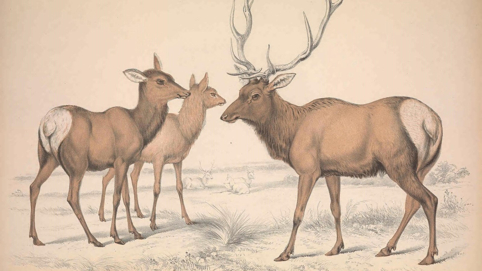
On a hunting excursion on August 11, 1806, Meriwether Lewis was shot through the hip by one of his crew members.
The man who likely shot him was Pierre Cruzatte. Pierre, or “Peter,” as some of his English-speaking comrades called him, was from the lower Missouri River region. His father was French-Canadian and his mother was Omaha. He spoke French, Omaha, English, and other languages. He was a gifted fiddle player. He was also skilled at navigating boats through difficult river waters.
Cruzatte was blind in one eye and near-sighted in the other. This may have explained why he was suspected of accidentally shooting Lewis: perhaps he mistook Lewis, who was dressed in elkskins, for an elk.
“I called out to him damn you, you have shot me,” Lewis wrote that night. “and looked towards the place from whence the ball had come, seeing nothing I called Cruzatte several times as loud as I could but received no answer.”
Cruzatte almost certainly did not intend to shoot Lewis. But other crew members present on the excursion that day concluded that, yes, the bullet had likely came from Cruzatte’s gun.
Sergeant Patrick Gass helped Lewis clean the wound and treat it with Peruvian bark. Lewis rested a few days, but the wound took several weeks to heal.
This was the only confirmed instance when a member of the expedition was mistaken for an elk.
About this article: This article is part of a series called “Pivotal Places: Stories from the Lewis and Clark National Historic Trail.”
Lewis and Clark NHT Visitor Centers and Museums
This map shows a range of features associated with the Lewis and Clark National Historic Trail, which commemorates the 1803-1806 Lewis and Clark Expedition. The trail spans a large portion of the North American continent, from the Ohio River in Pittsburgh, Pennsylvania, to the mouth of the Columbia River in Oregon and Washington. The trail is comprised of the historic route of the Lewis and Clark Expedition, an auto tour route, high potential historic sites (shown in black), visitor centers (shown in orange), and pivotal places (shown in green). These features can be selected on the map to reveal additional information. Also shown is a base map displaying state boundaries, cities, rivers, and highways. The map conveys how a significant area of the North American continent was traversed by the Lewis and Clark Expedition and indicates the many places where visitors can learn about their journey and experience the landscape through which they traveled.