Last updated: March 31, 2025
Place
Liberty Cap Trail (Colorado National Monument)

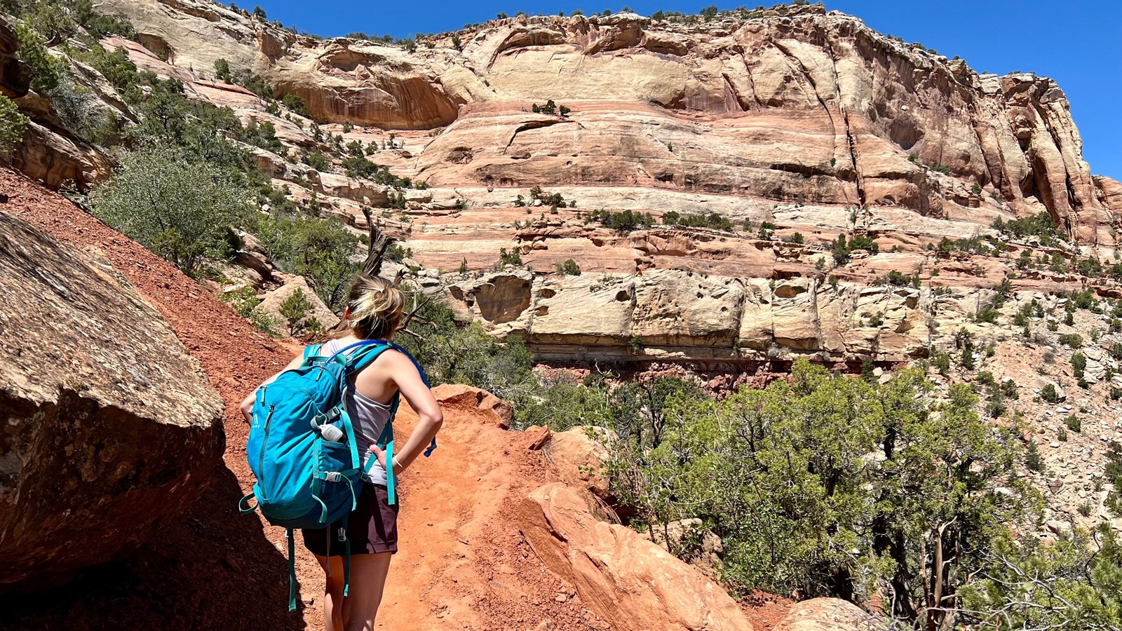
NPS Photo / N Scarborough
Quick Facts
Location:
1) Wildwood TH outside the Monument, 2) Upper Liberty Cap TH on Rim Rock Drive
Amenities
2 listed
Parking - Auto, Trailhead
Liberty Cap Trail (Colorado National Monument)
Map highlighting in red Liberty Cap Trail in Colorado National Monument and its generally west-east trend from Rim Rock Drive down to South Broadway near Grand Junction.
- Location: Two access points:
- (1) Wildwood Trailhead
- from the west entrance, turn right onto Highway 340 (going east); continue 6.5 miles (10.5 km) and turn right at the light on South Broadway; go 1.2 miles (1.9 km) and turn left onto Wildwood Drive; from Wildwood Drive, go 0.5 miles (0.8 km); watch closely for a brown trailhead sign on the right at what appears to be driveway; turn down this road to the trailhead
- from the east entrance, proceed north on Monument Road 0.6 miles (1.0 km); turn left on South Camp Road; drive 2.6 miles (4.2 km) to its junction with South Broadway; turn left and go 0.5 miles (0.8 km); turn left onto Wildwood Drive and go 0.5 miles (0.8 km); watch closely for a brown trailhead sign on the right at what appears to be driveway; turn down this road to the trailhead
- (2) Upper Liberty Cap Trailhead
- from the Saddlehorn Visitor Center, turn left onto Rim Rock Drive and drive 6.4 miles (10.3 km) to the trailhead on the left.
- (1) Wildwood Trailhead
- Mileage: 7.0 one way (11.3 km)
- Difficulty Level: Steep at lower trailhead; easy at upper trailhead.
- Elevation: 4,800 to 6,550 feet (1463 to 1996 meters) from lower trailhead to upper trailhead.
- Average time: 4-5 hours
- Usage: Hiking. Horseback riding is permitted along the upper 5.0 miles (8.0 km).
- Description (from lower access): Trail ascends steeply for 2 miles from the Grand Valley floor to Liberty Cap rock formation. Trail winds across gently sloping Monument Mesa through pinyon-juniper forest and sagebrush flats for the final 5.0 miles (8.0 km).
