Last updated: May 3, 2022
Place
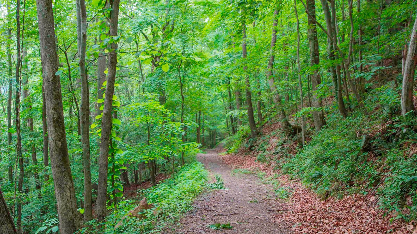
Little Laurel Trail
NPS/Louise McLaughlin
Quick Facts
Amenities
1 listed
Trailhead
Labeled (1) on the Grandview Area Trails map
Length
2.6 miles/4.18 km (One-way)
Difficulty
Strenuous
Trail type
Hiking and biking
Trail Description
This strenuous trail connects Grandview with the New River 1,400 feet below. The trail follows an old road for two miles as it descends to the river, passing by the site of an old coal mine at Royal. The road descends steeply in some places with a total elevation change of around 1400 feet. This change in elevation provides an opportunity to view a great diversity of spring wildflowers.
To reach the Upper Trailhead
The Little Laurel Trail begins at the parking area for shelter #3 and #4 at Grandview.
To reach the Lower Trailhead
The lower trailhead is on the Glade Creek Road. From Beckley follow Route 41 towards Prince. Just before the bridge that crosses the New River is a gravel road on the right that leads past the trailhead. Follow the signs toward Glade Creek (Royal Road). The trailhead (an unmarked gated, gravel road) is just 0.25 mile down this road on the right near the scattered foundations of the coal town of Royal. Please do not block the gate. The road is still used by park staff as an administrative road.